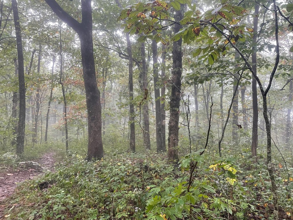
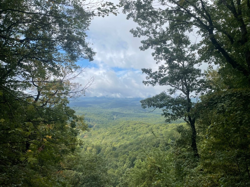
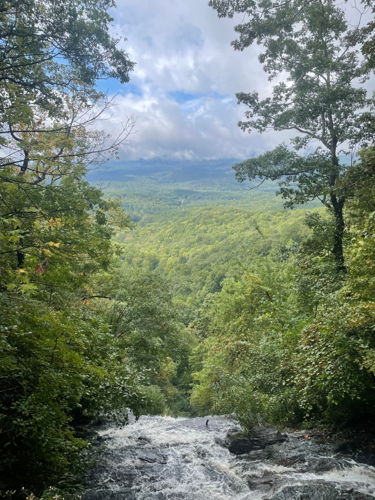
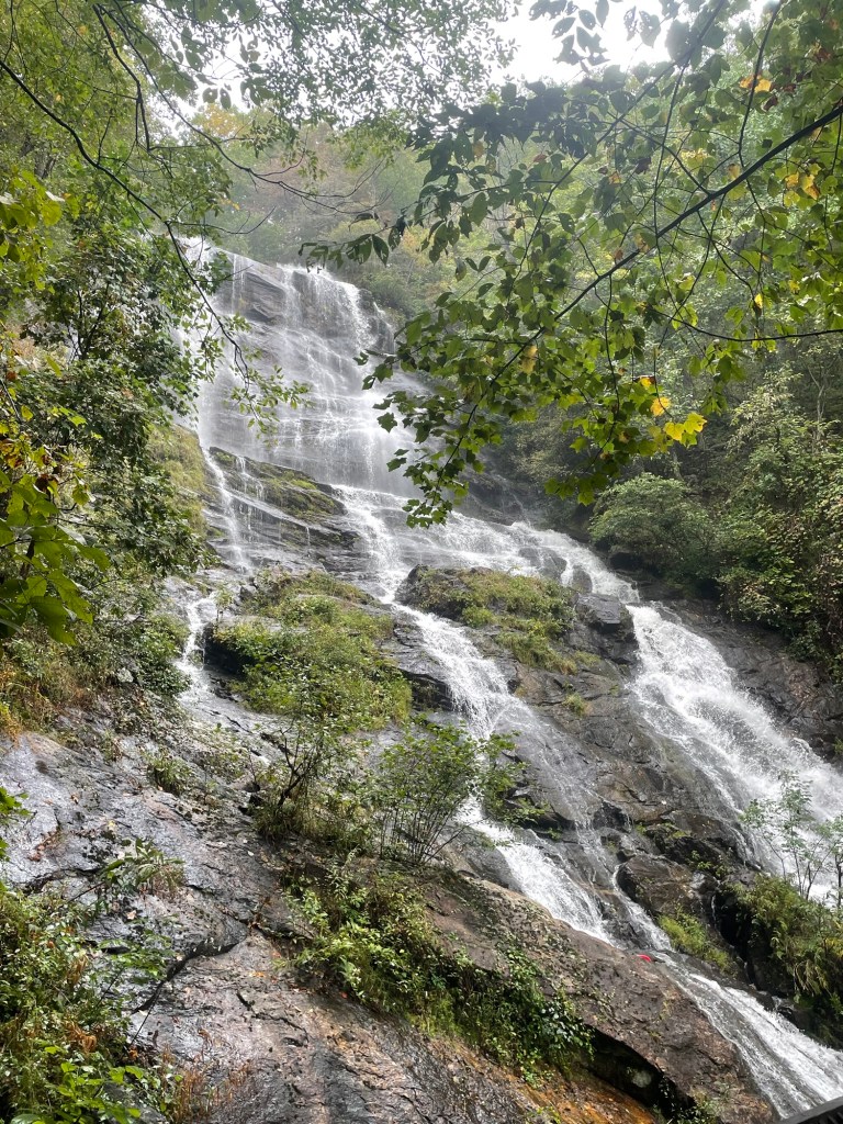
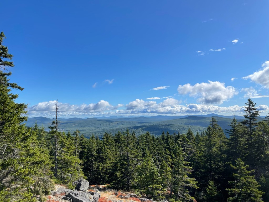
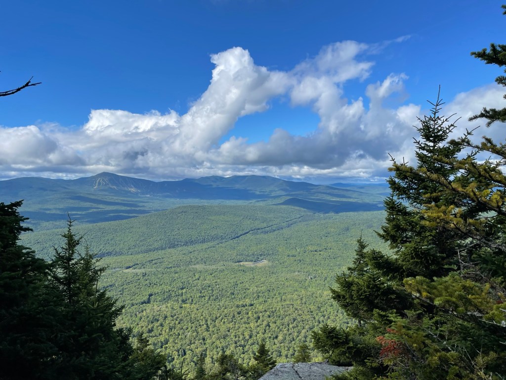
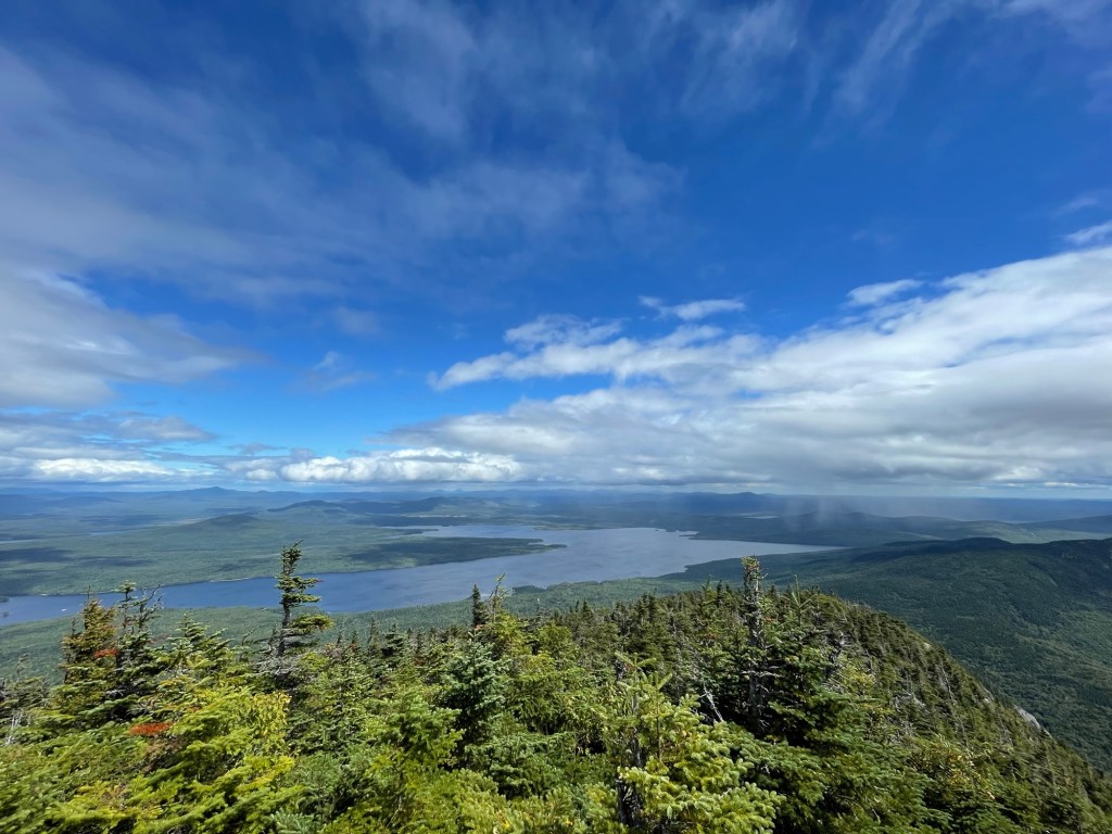
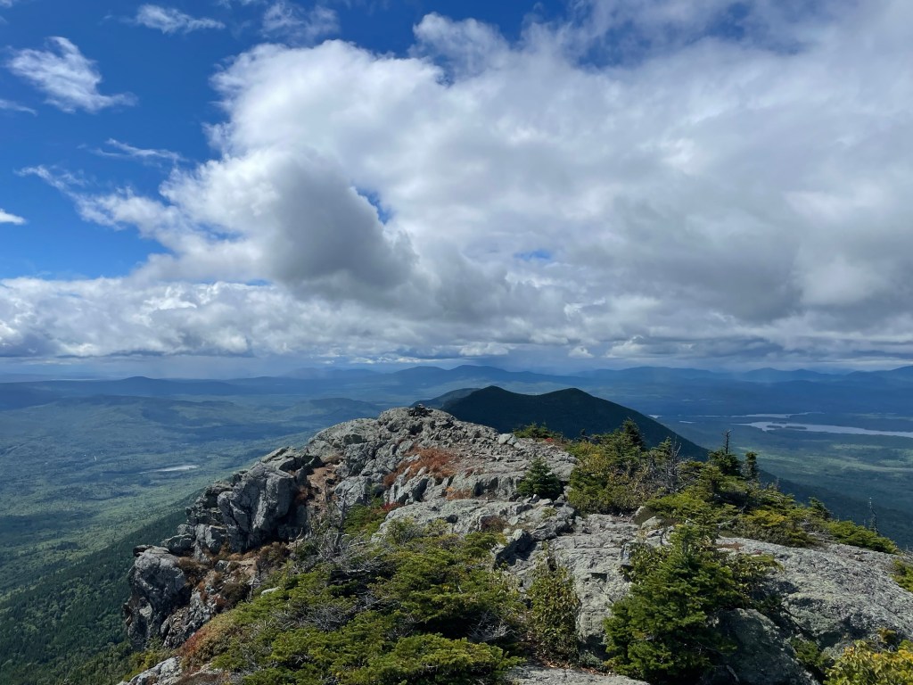
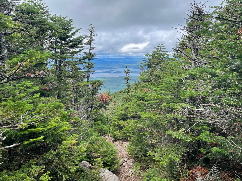
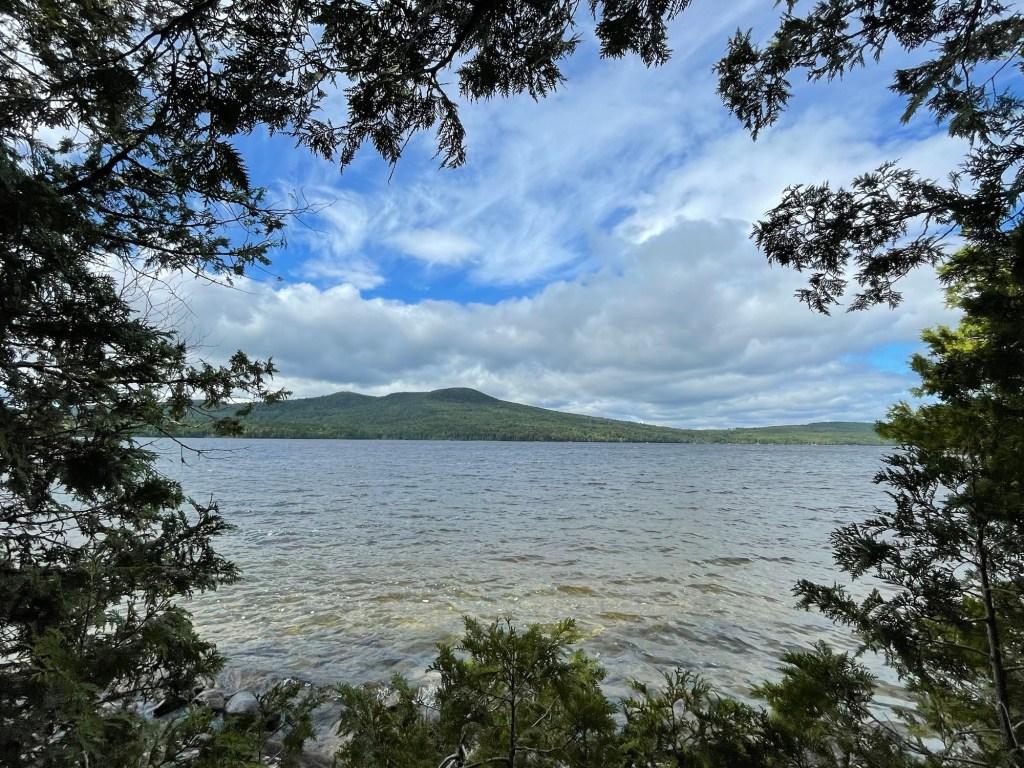
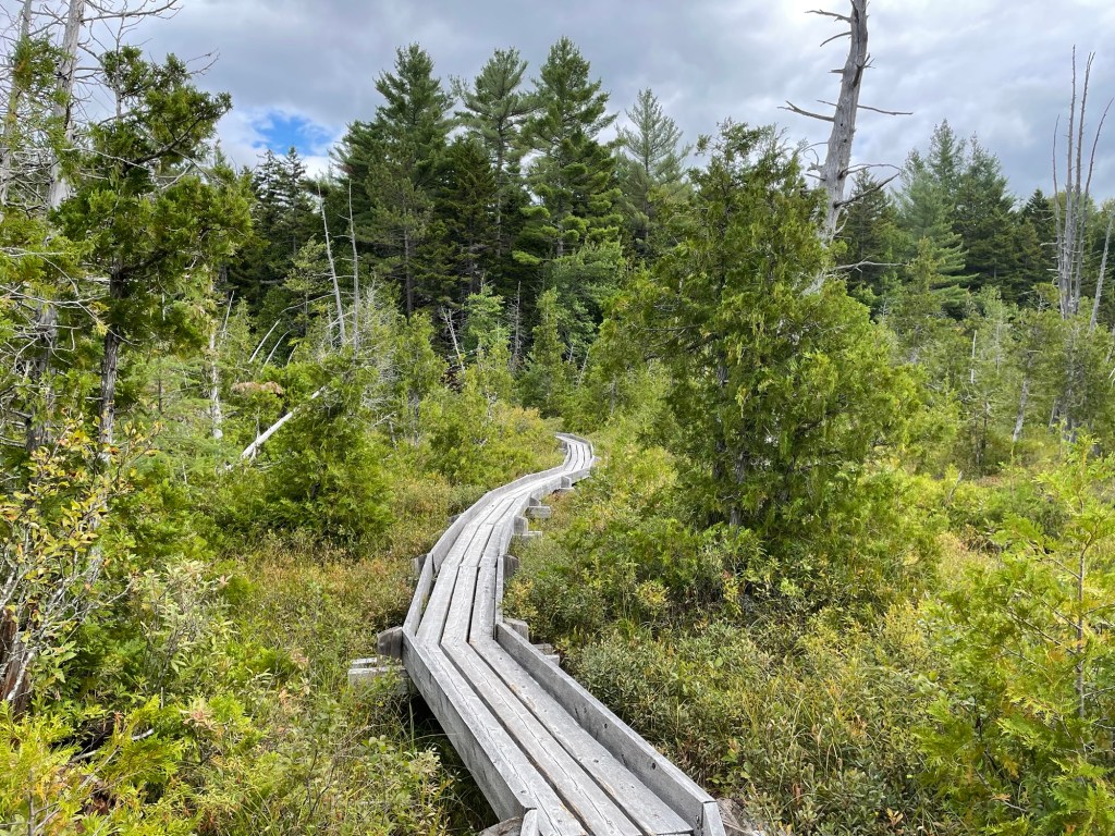
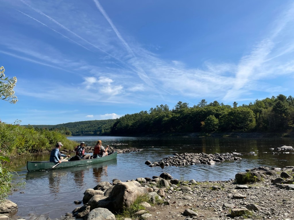
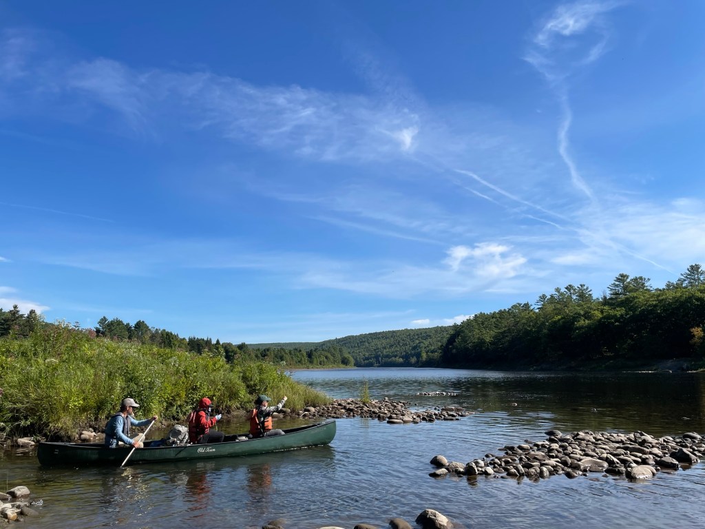
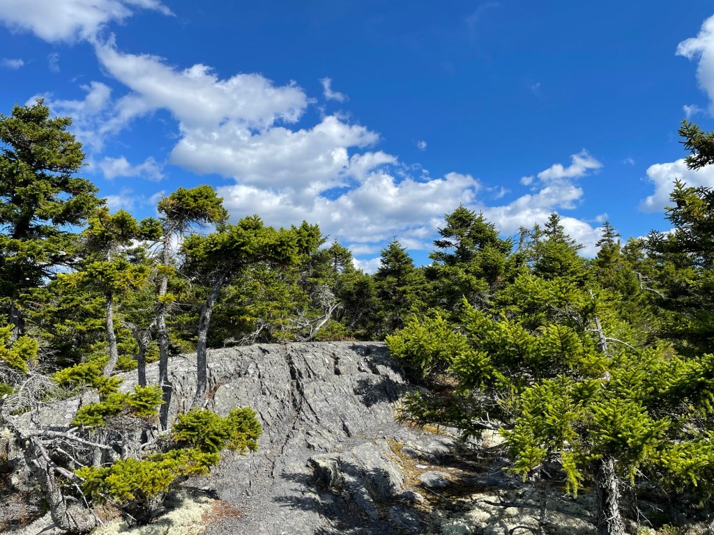
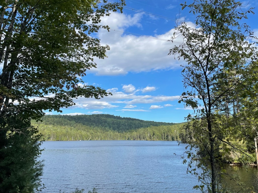
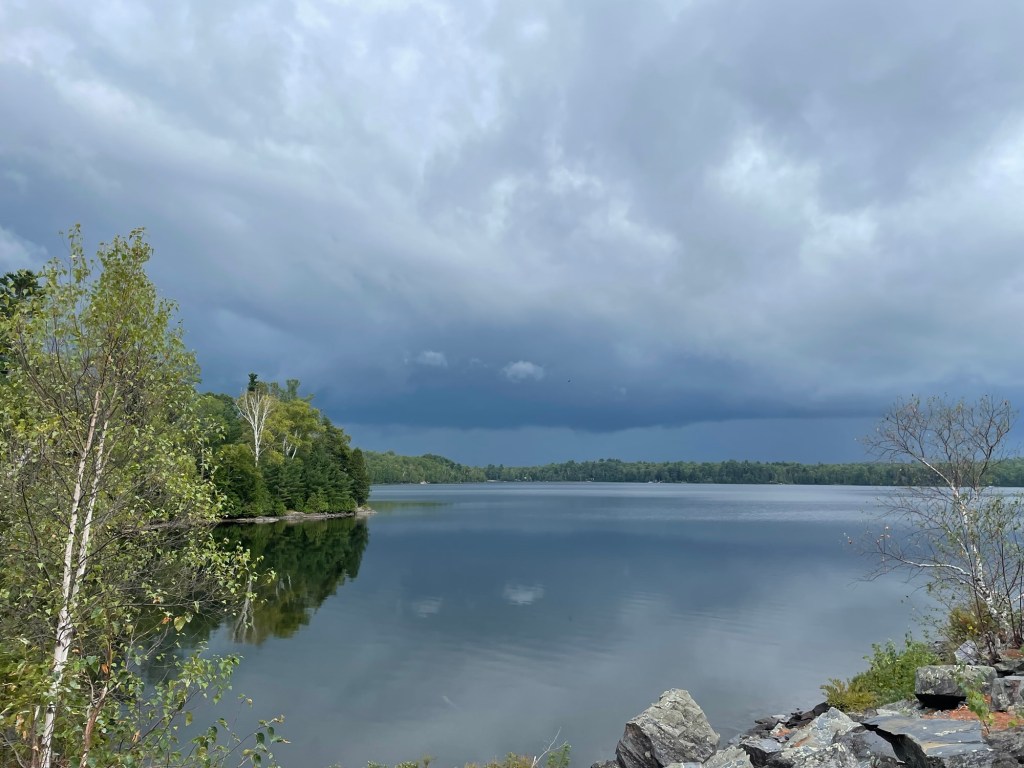
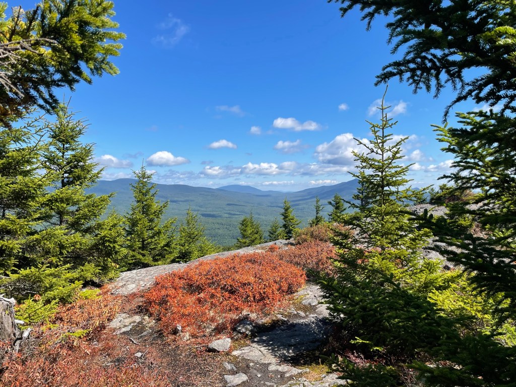
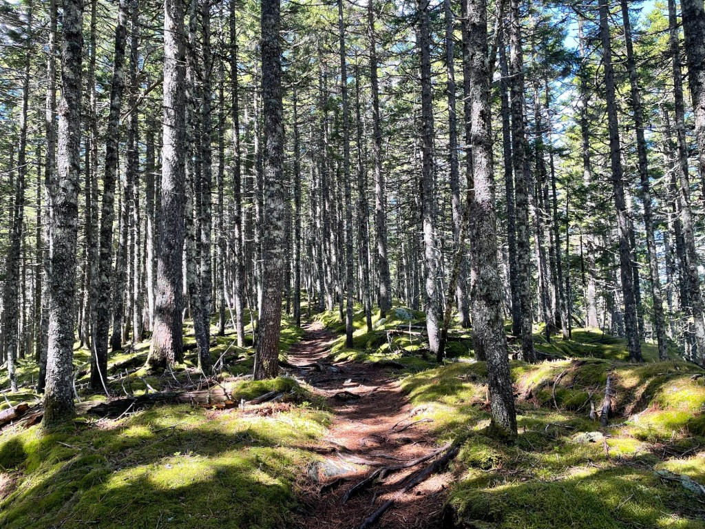
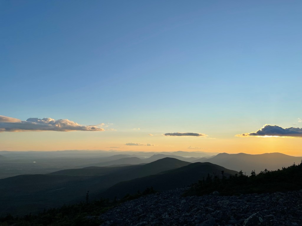
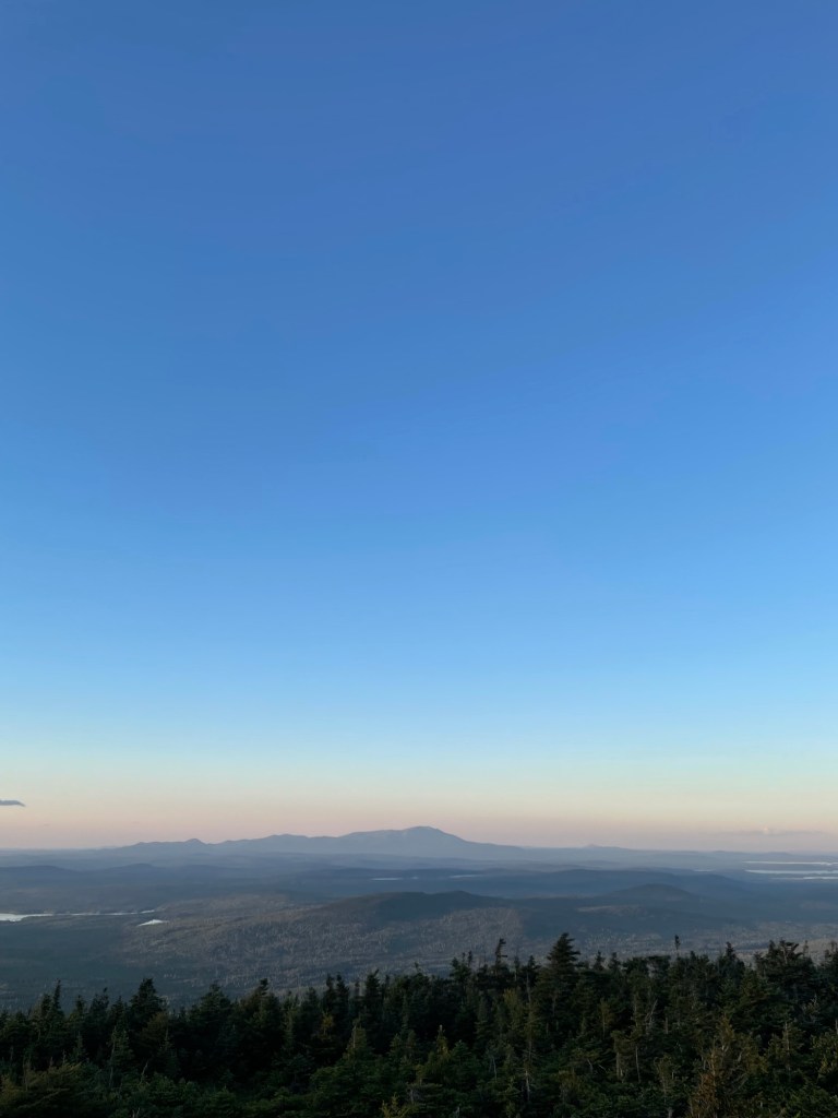
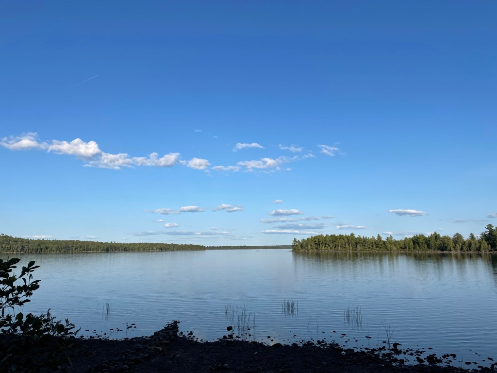
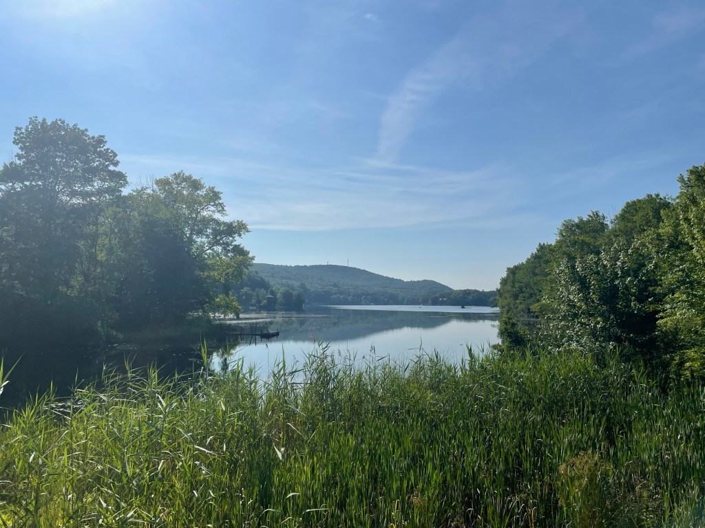
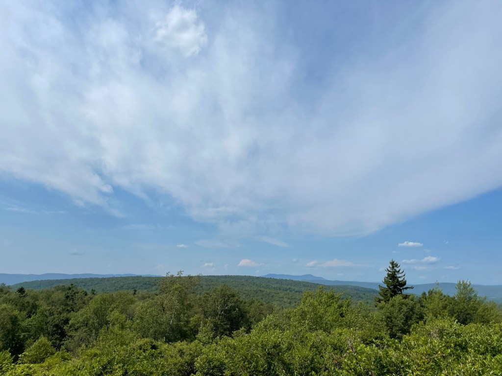
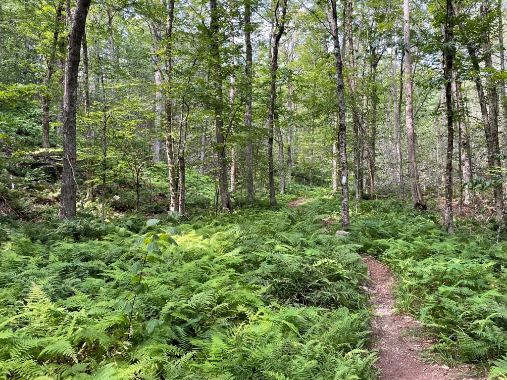
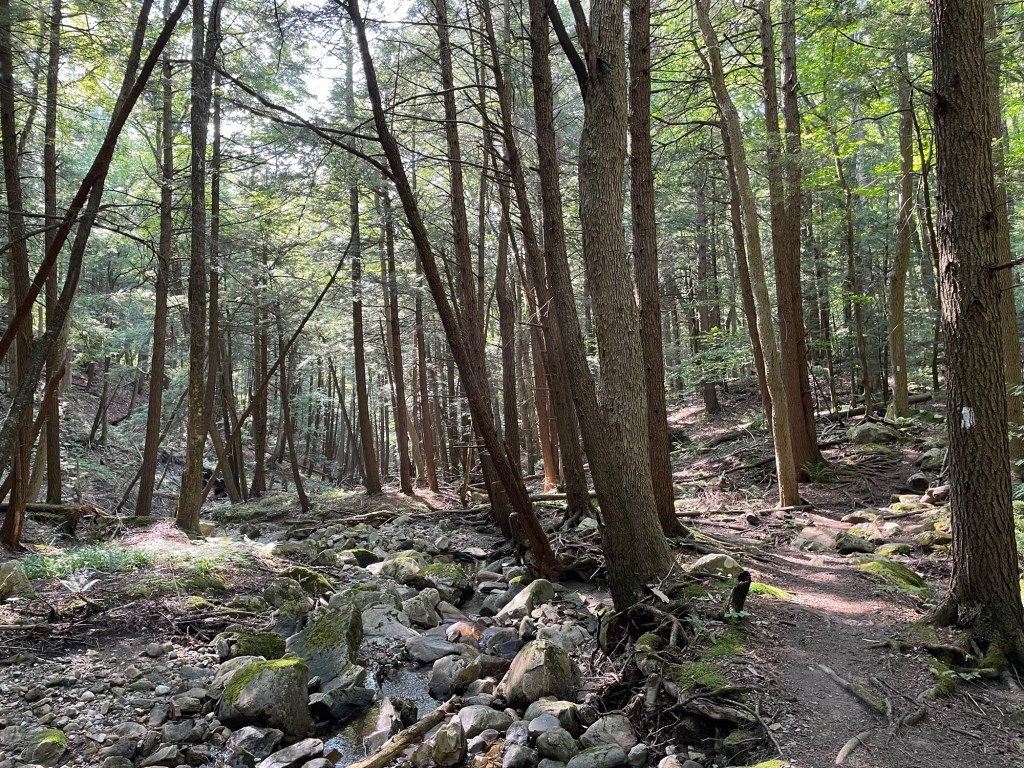
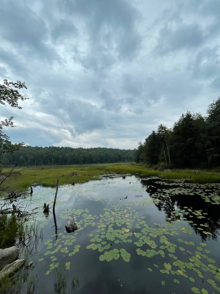
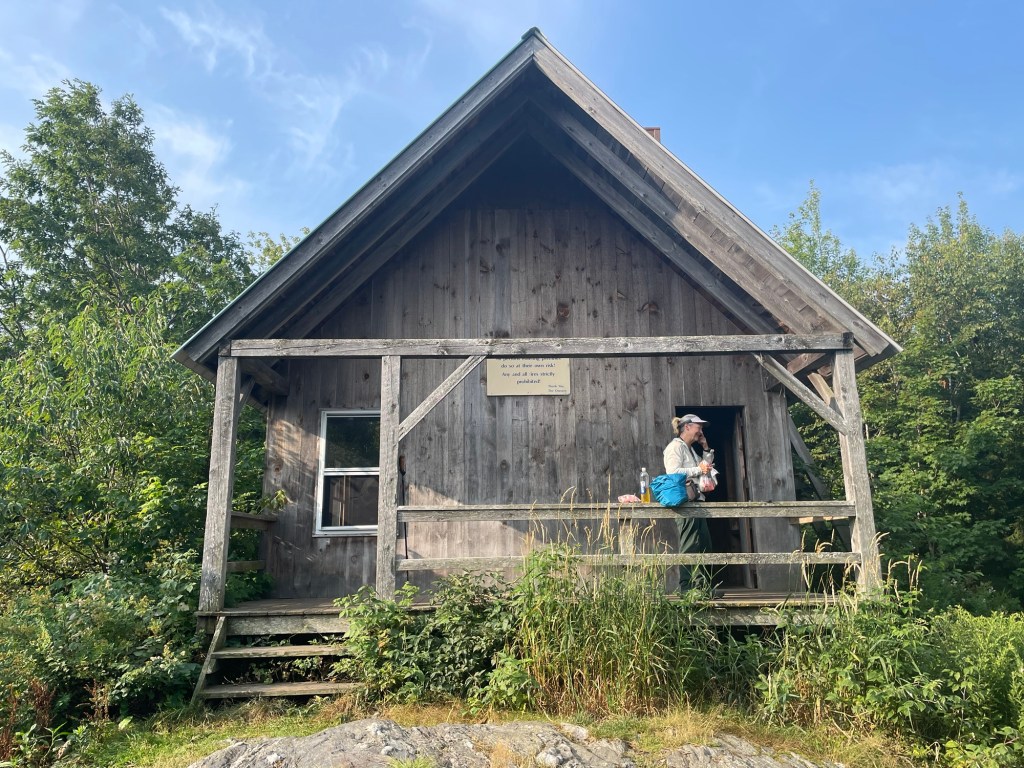
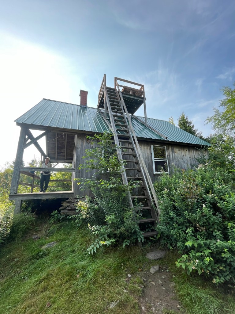
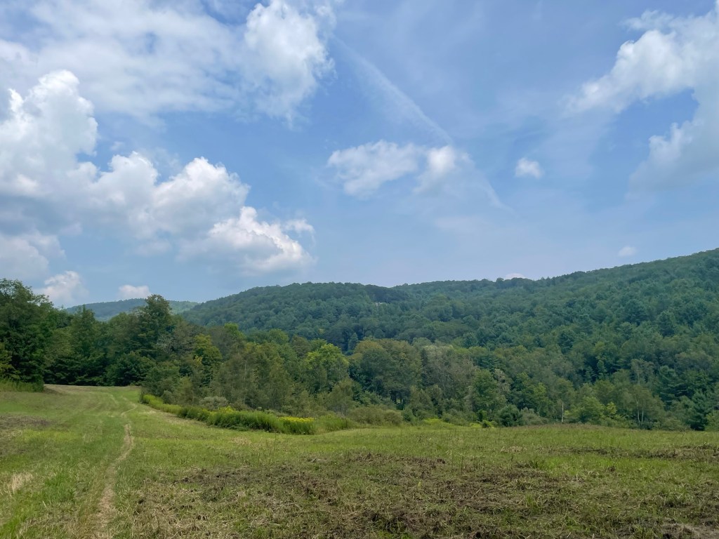
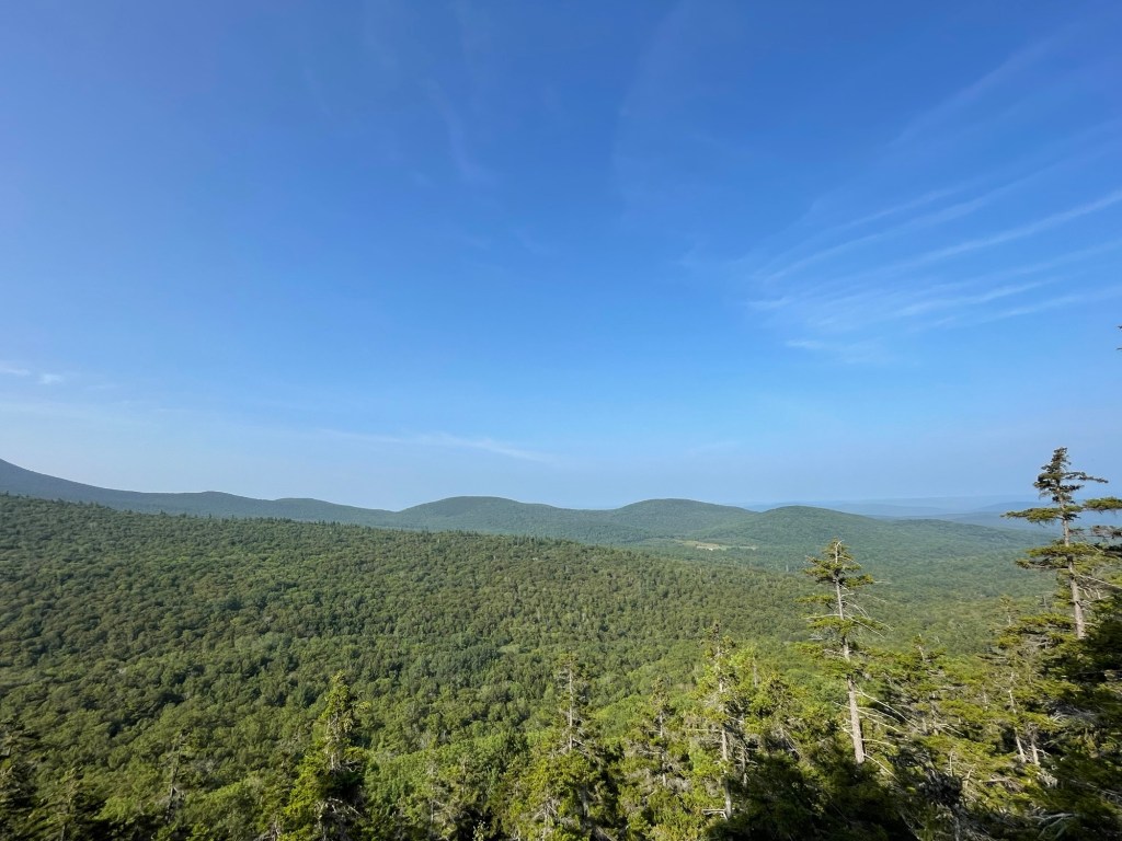
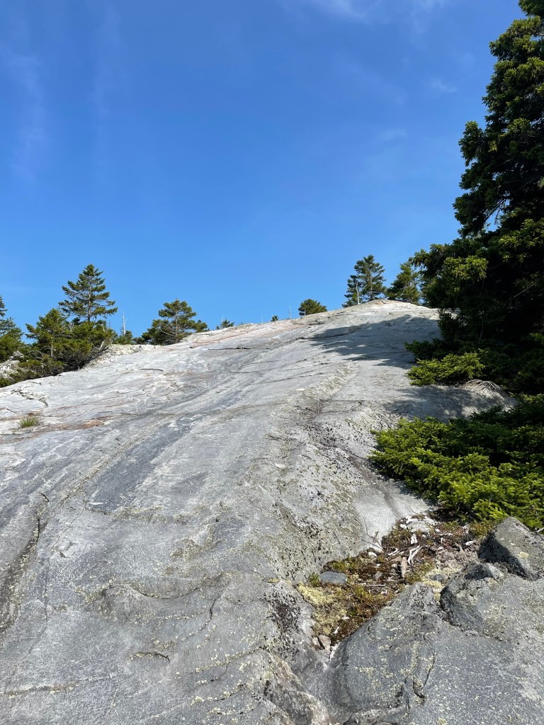
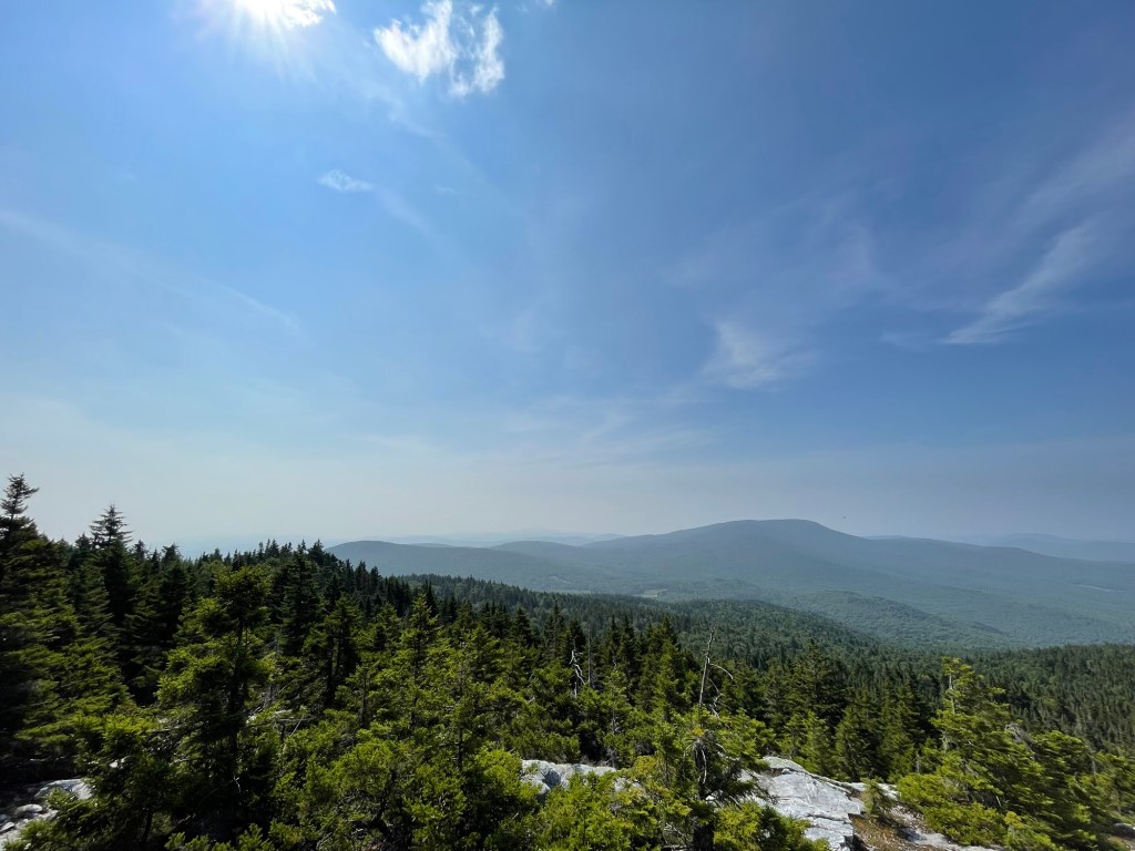
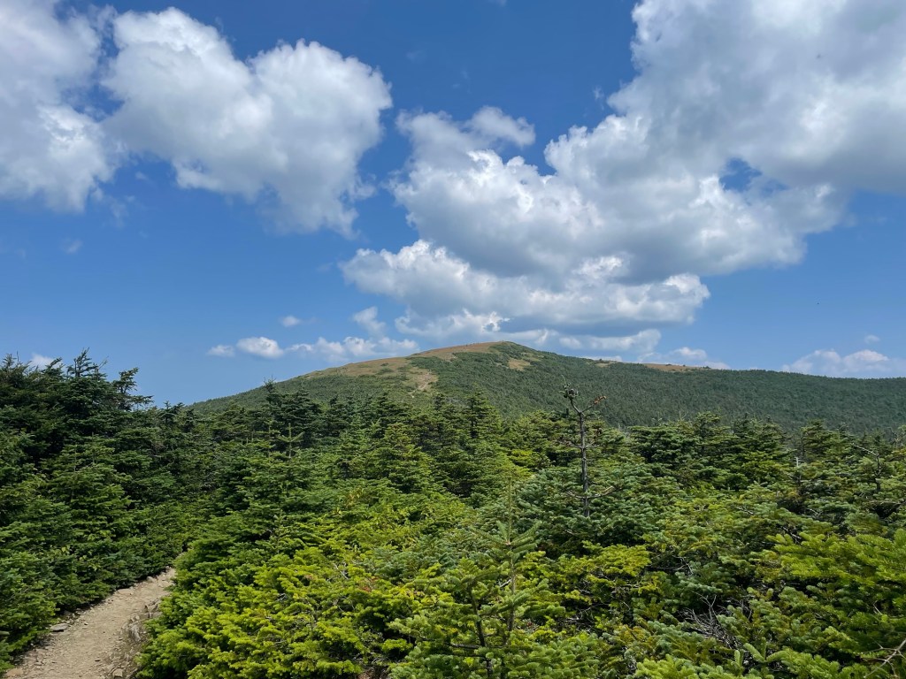
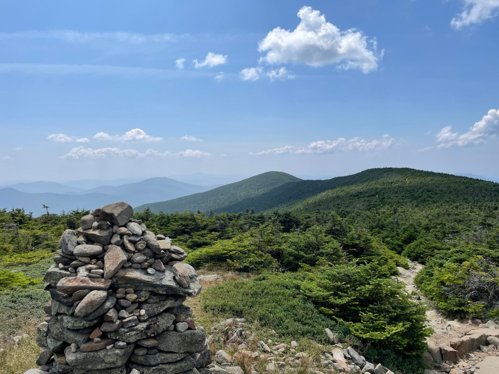
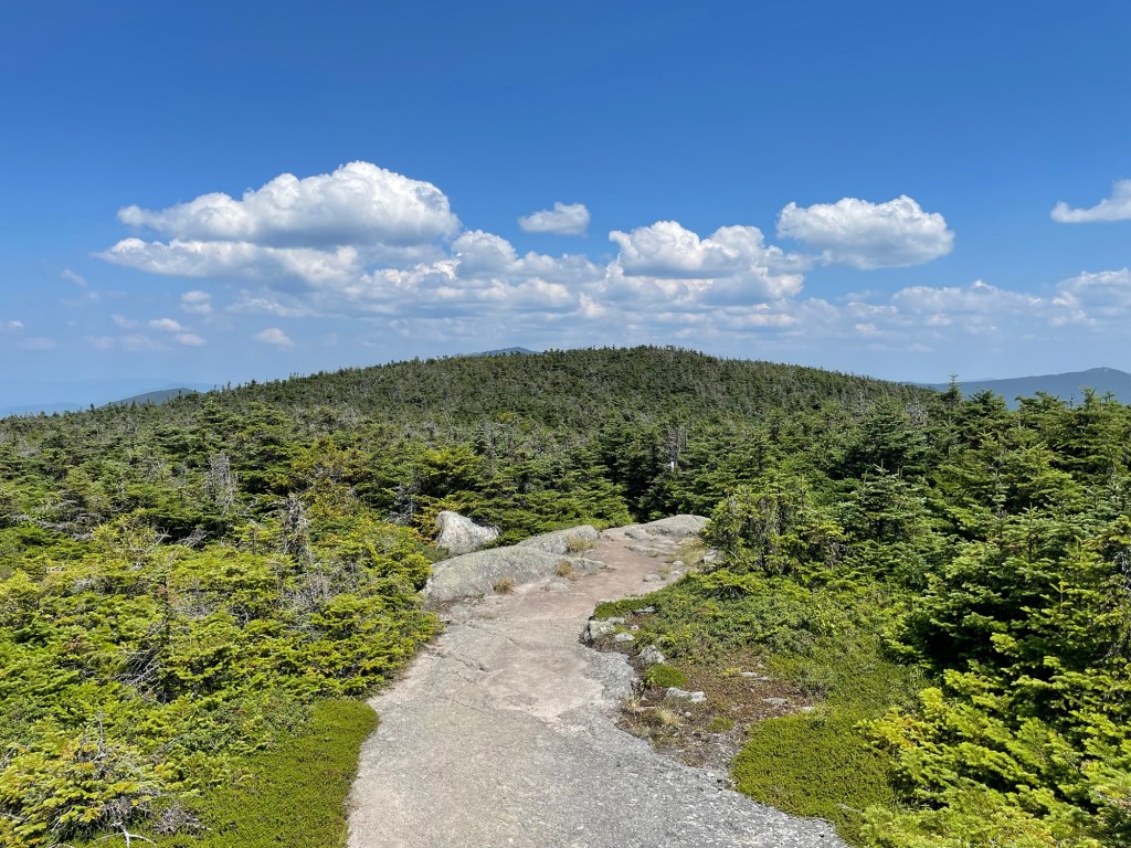
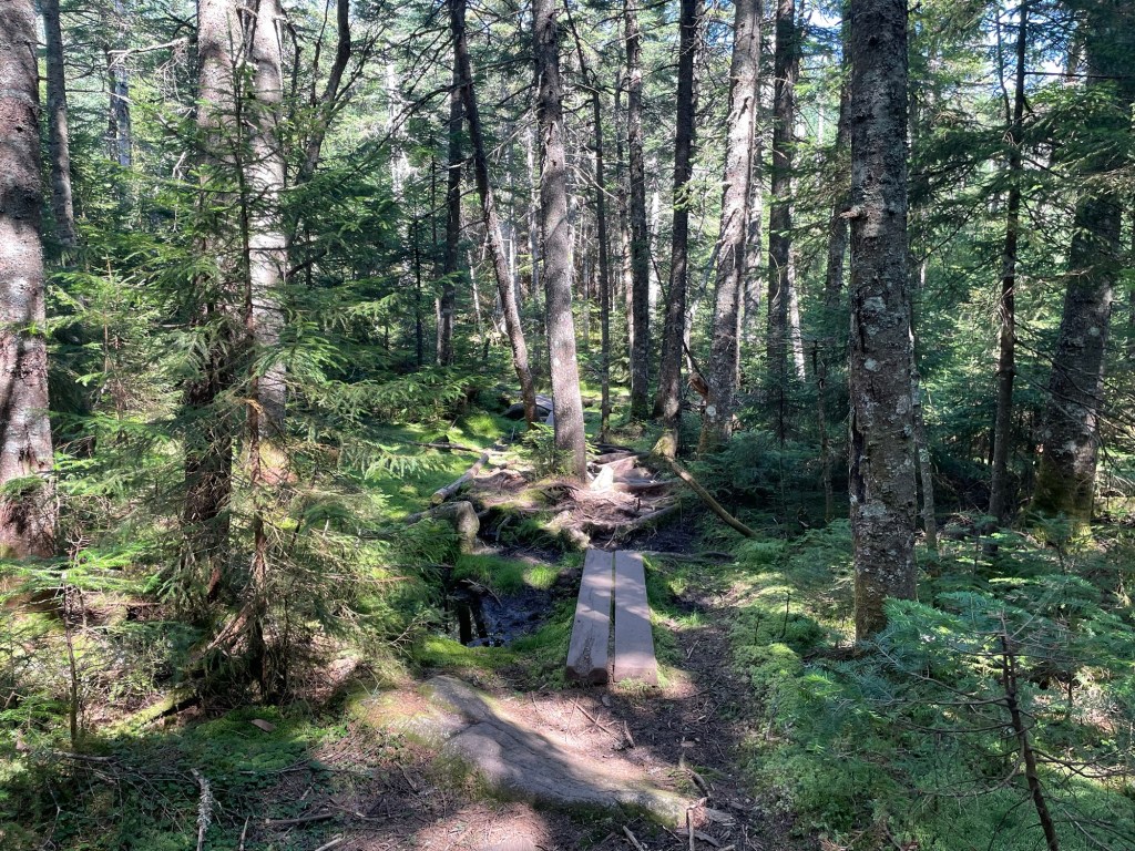
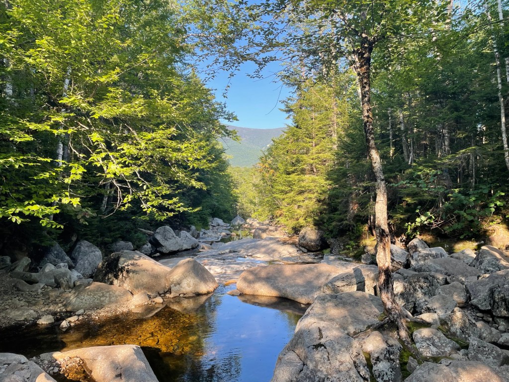
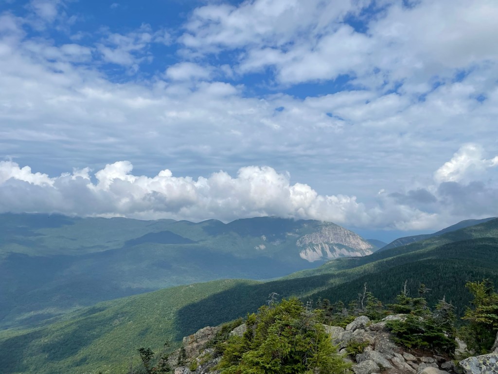
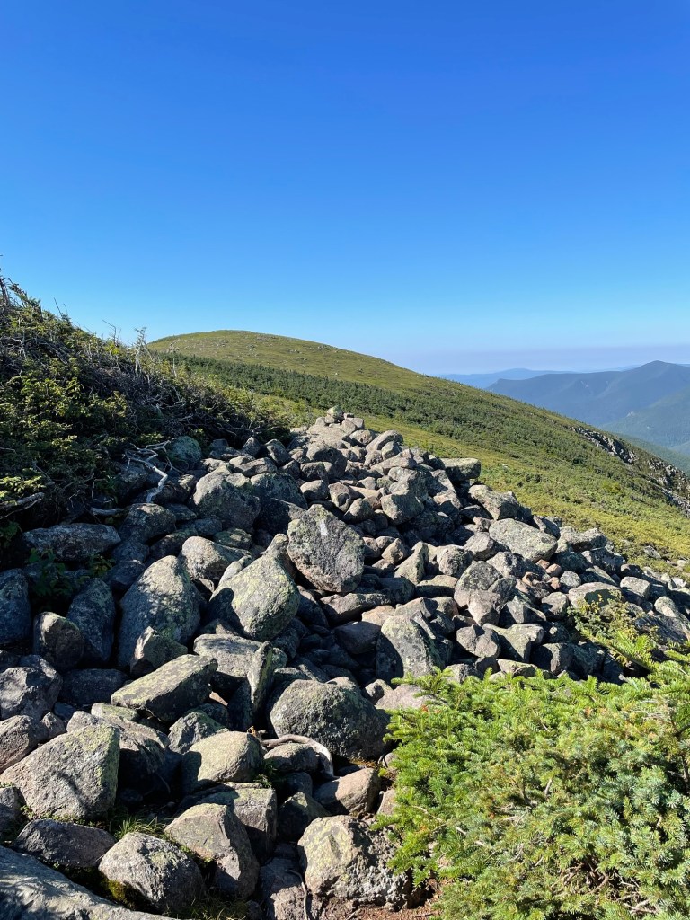
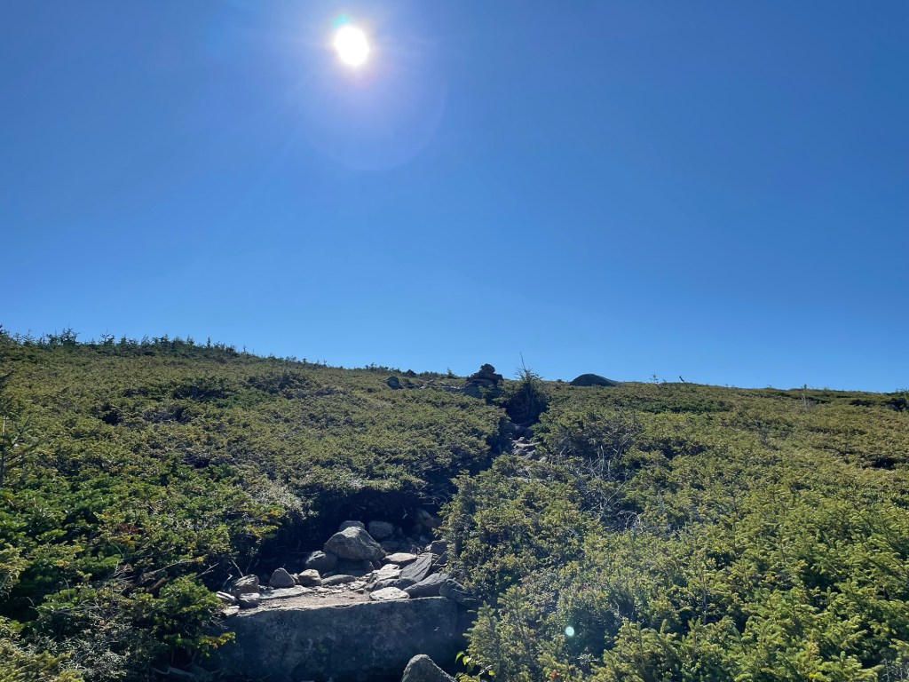
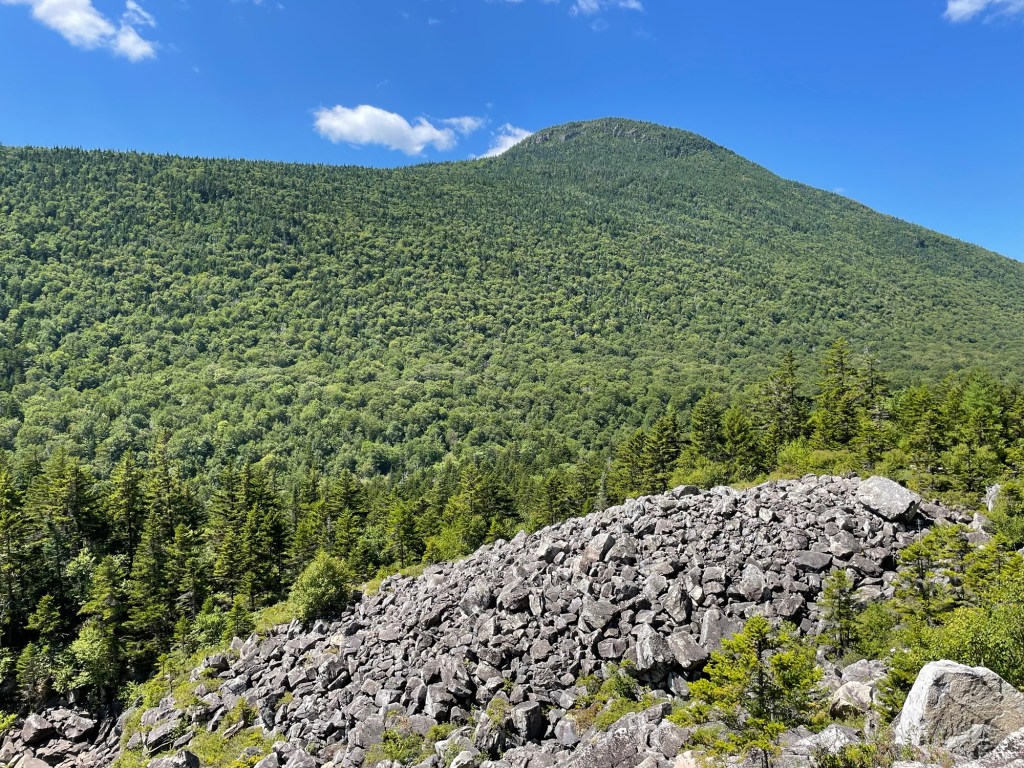
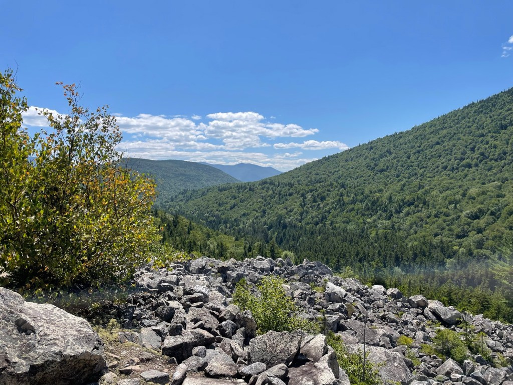
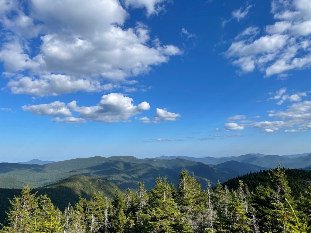
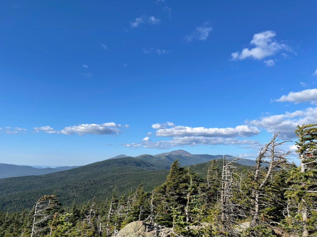
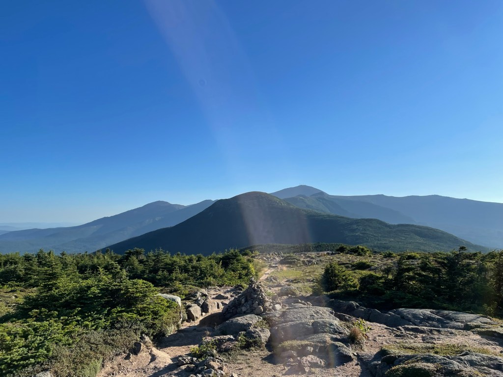
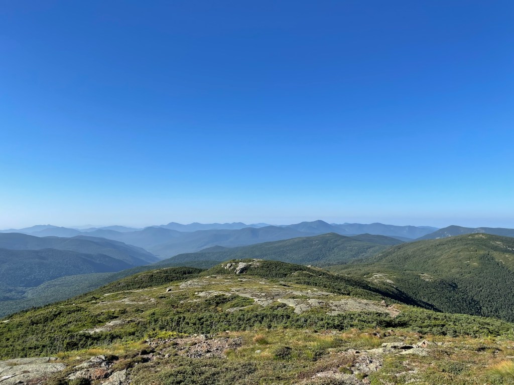
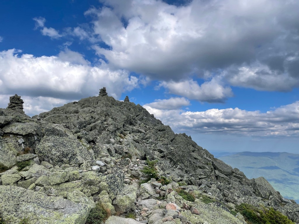
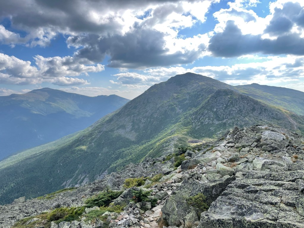
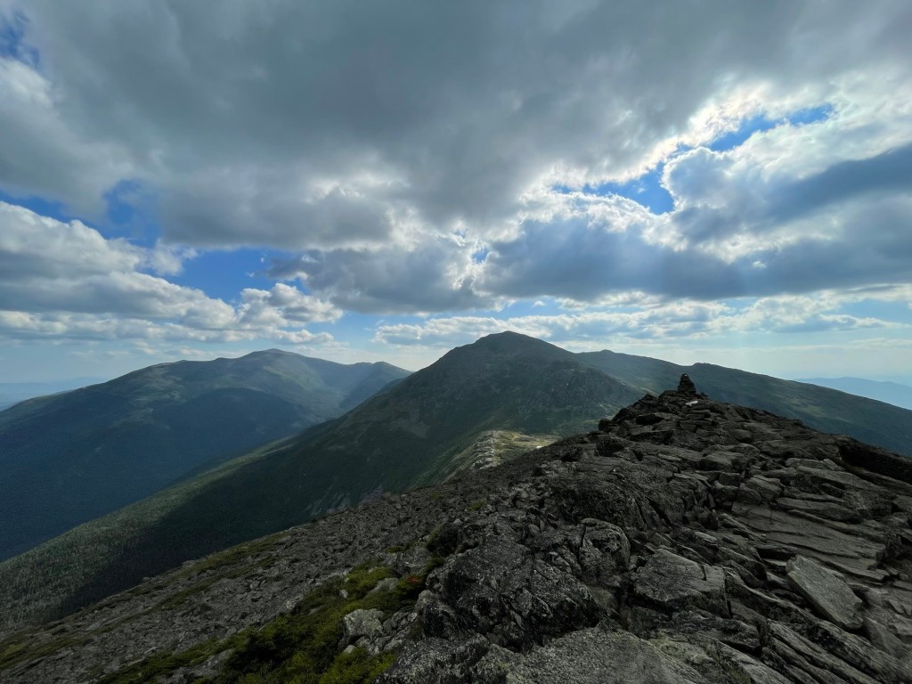
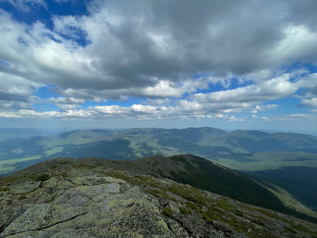
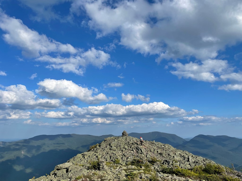
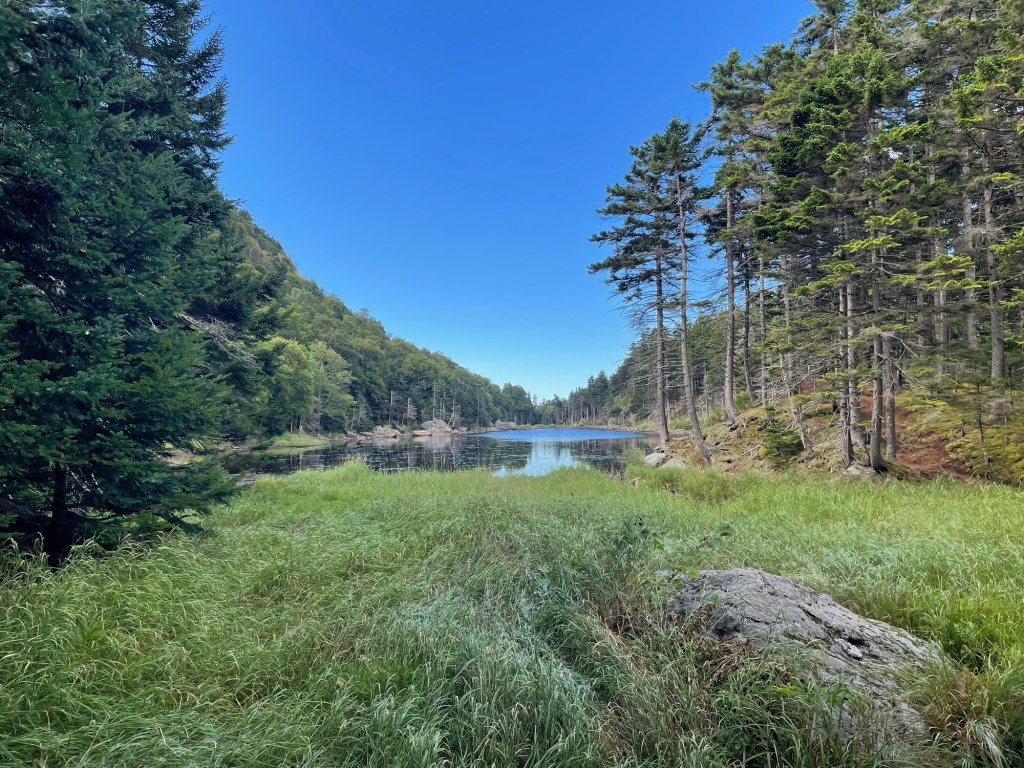
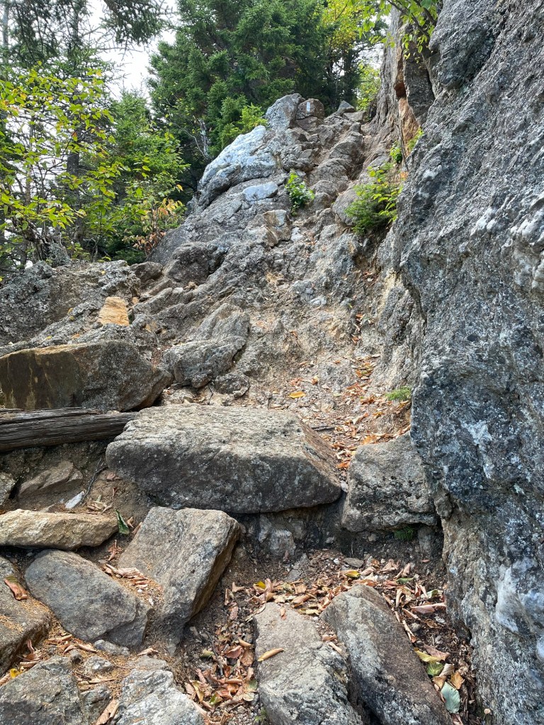
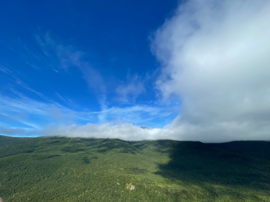
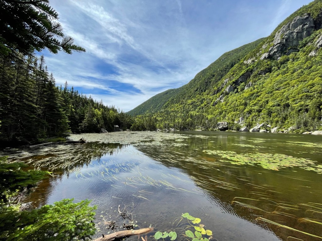
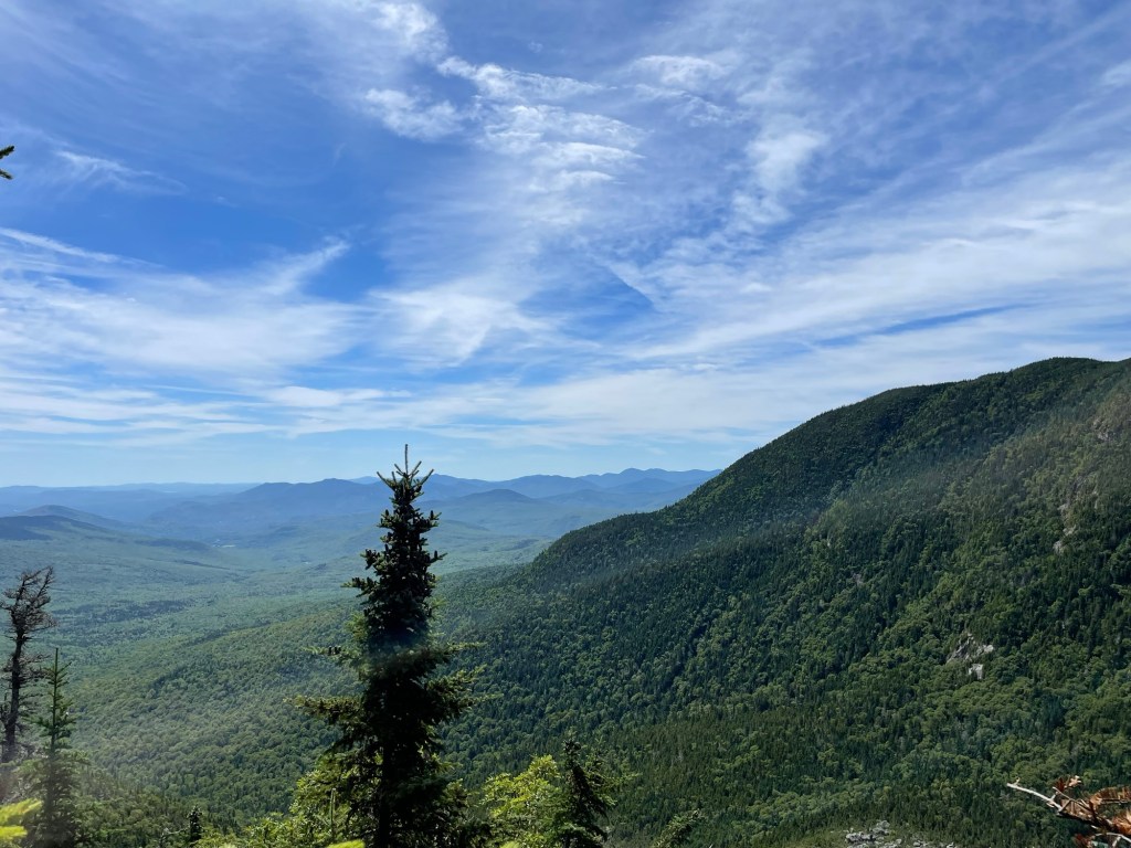
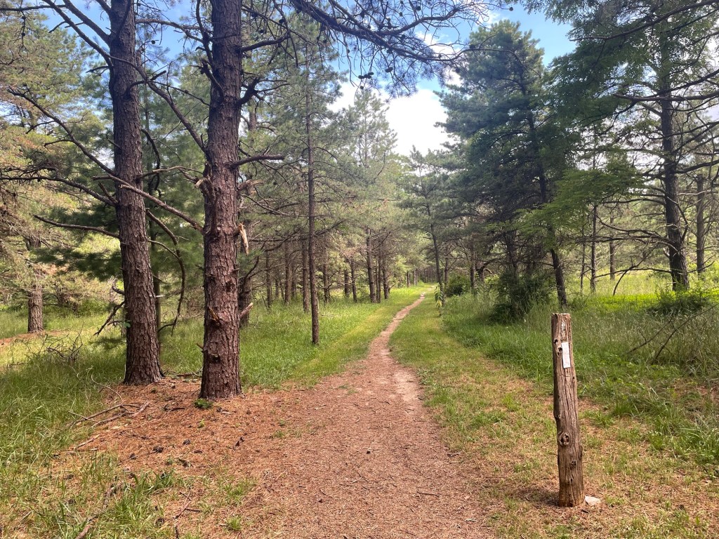
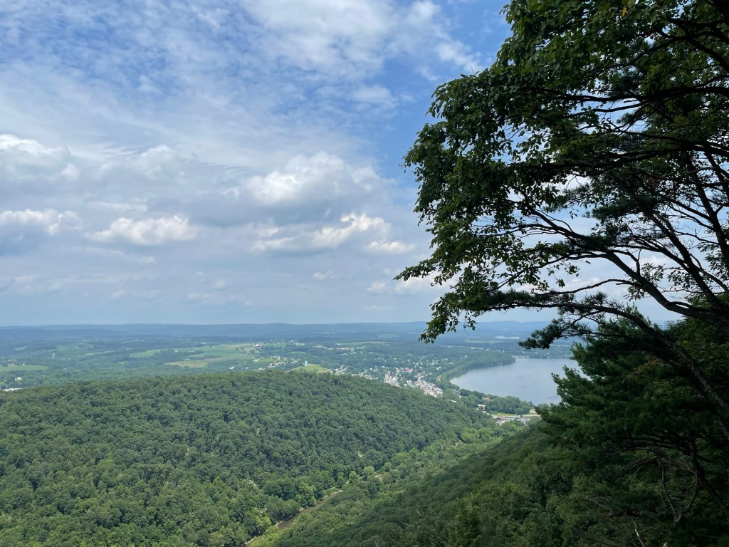
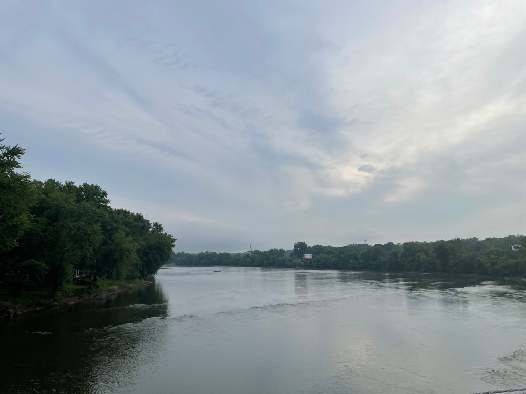
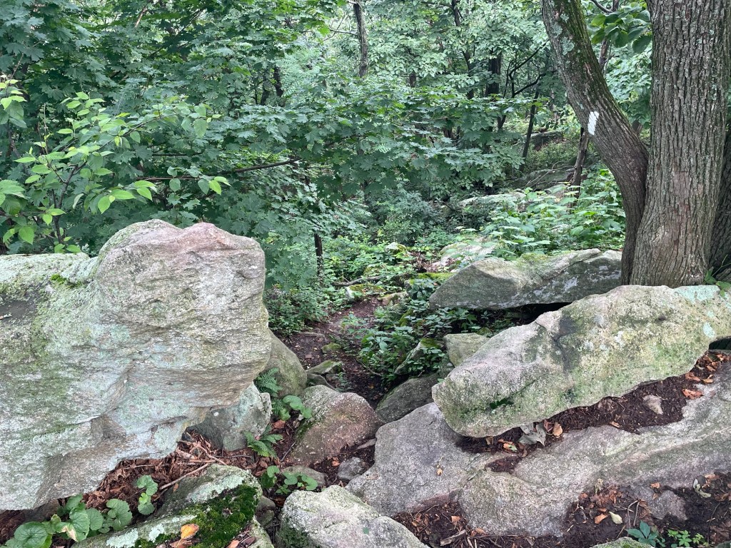
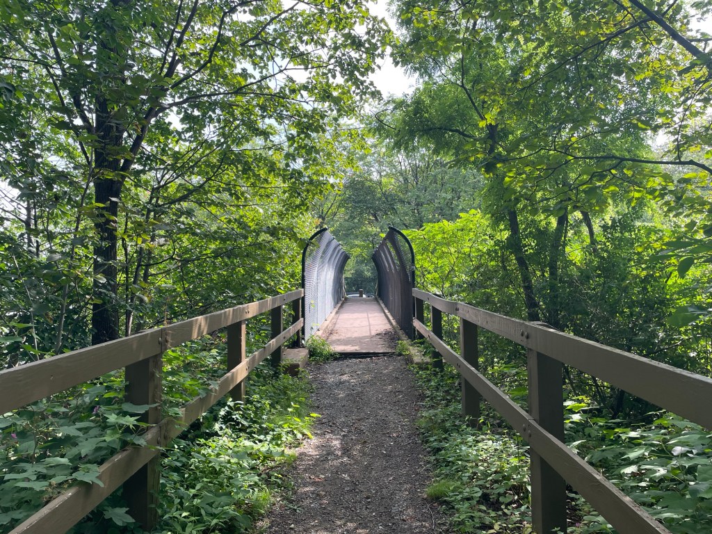
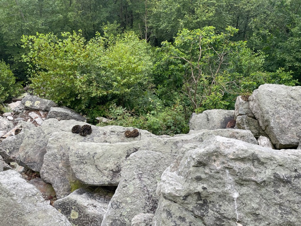
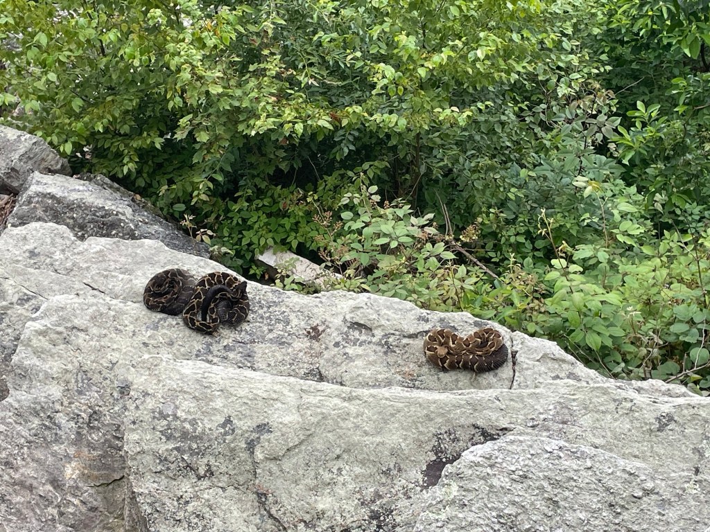
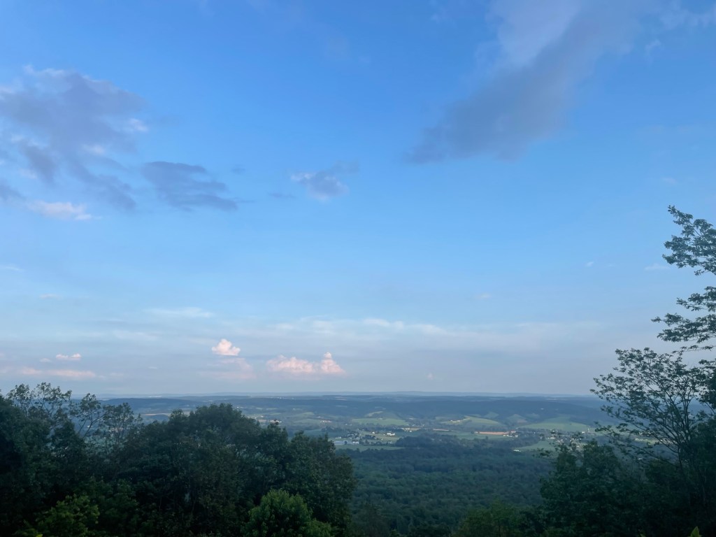
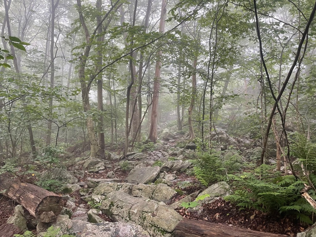
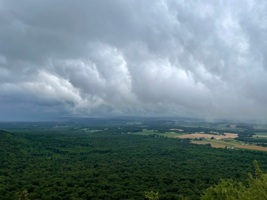
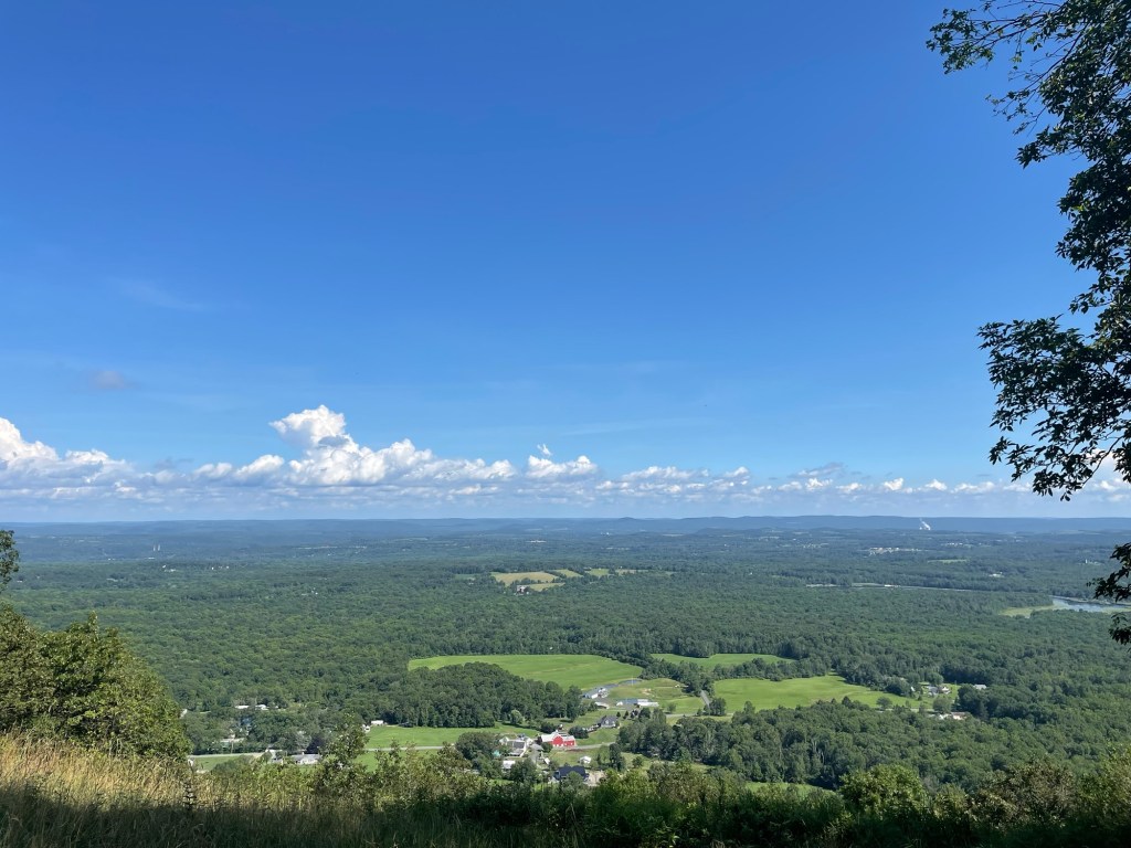
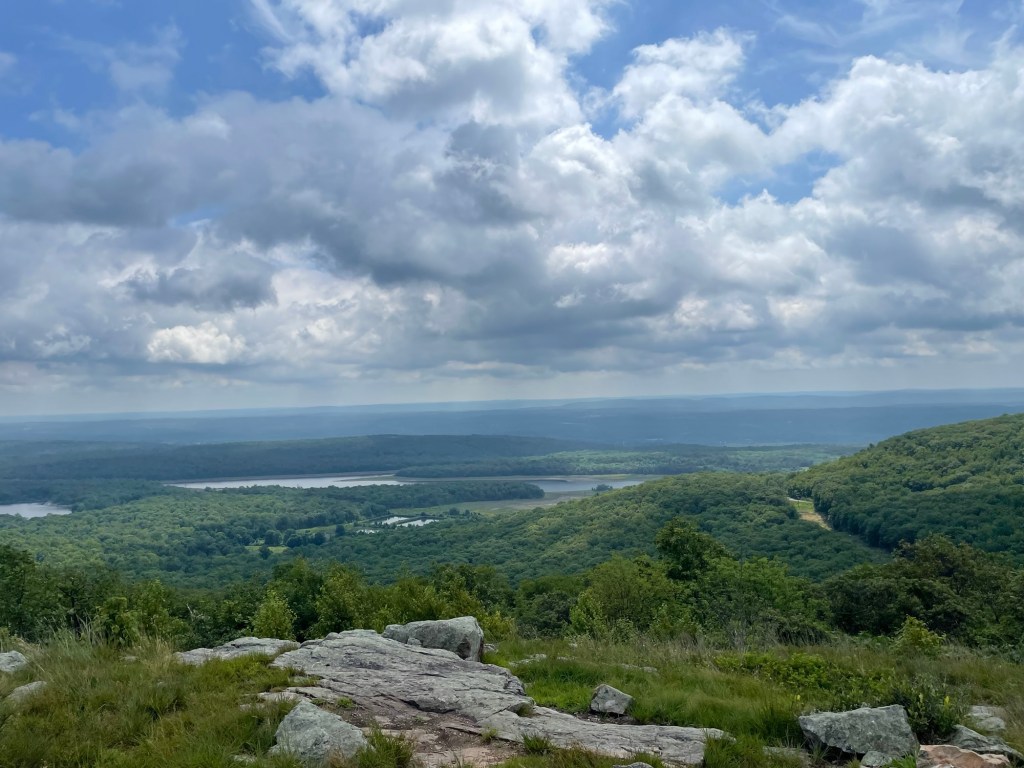
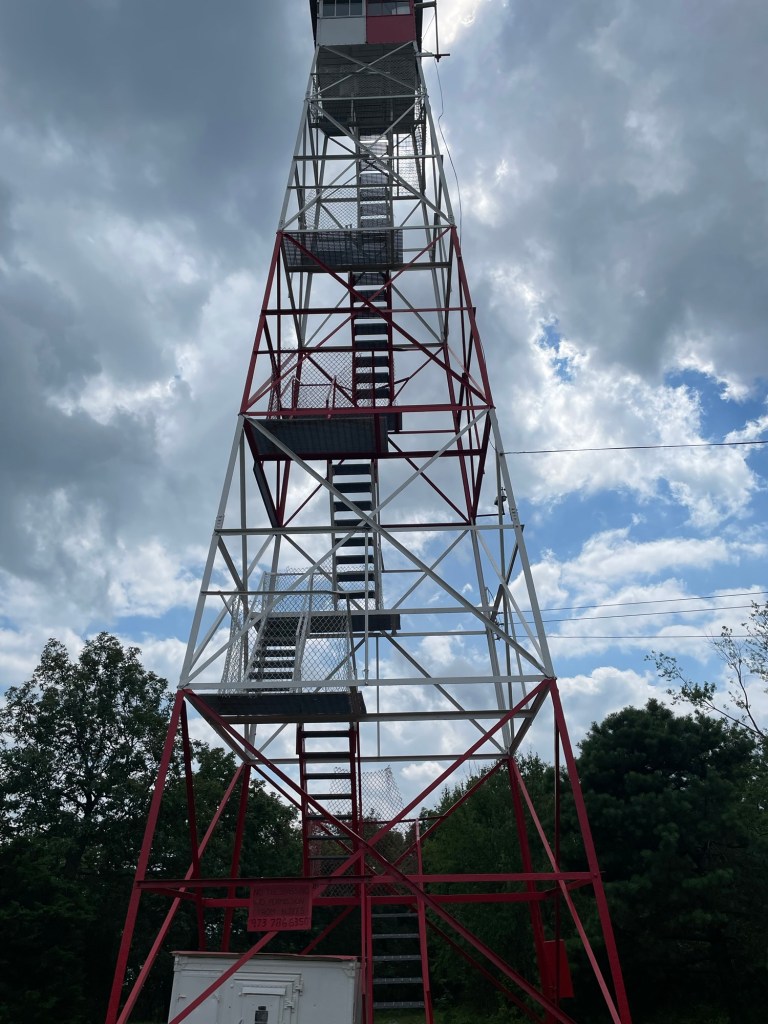
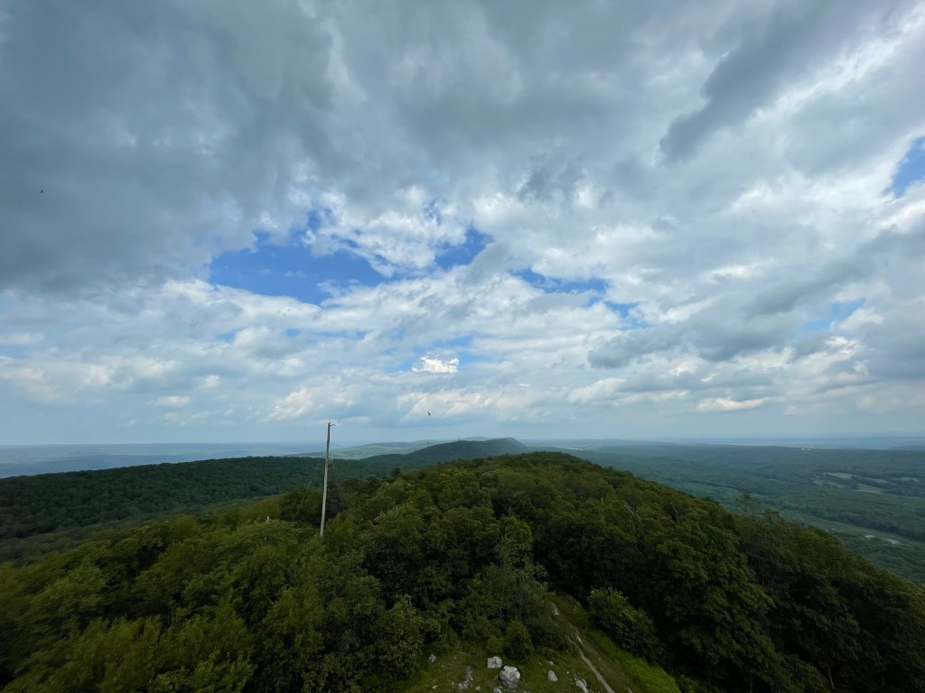
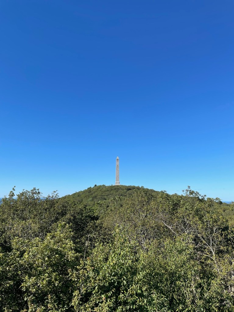
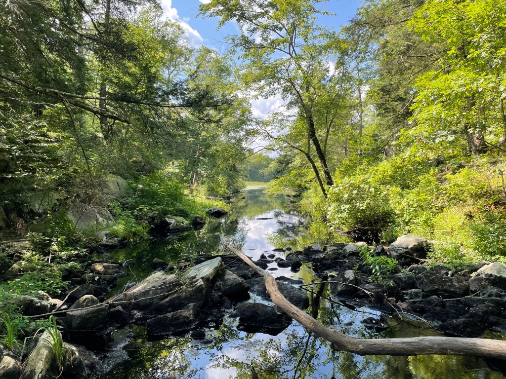
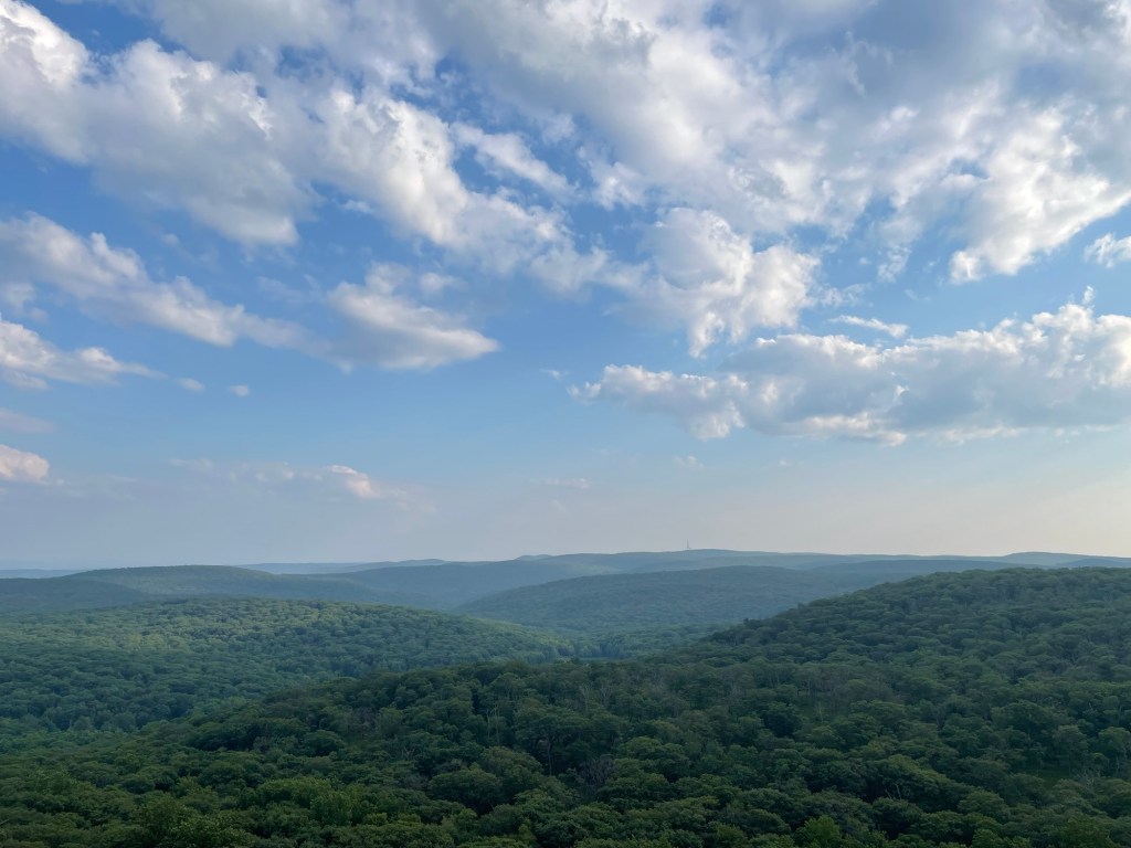
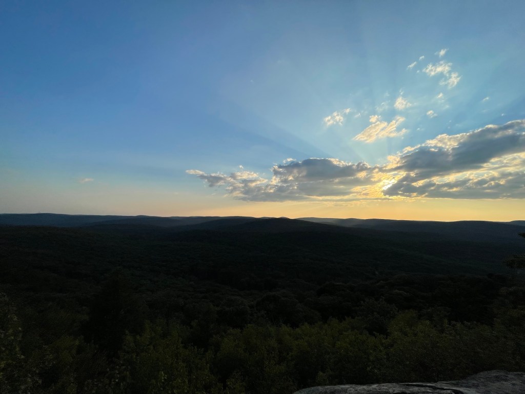
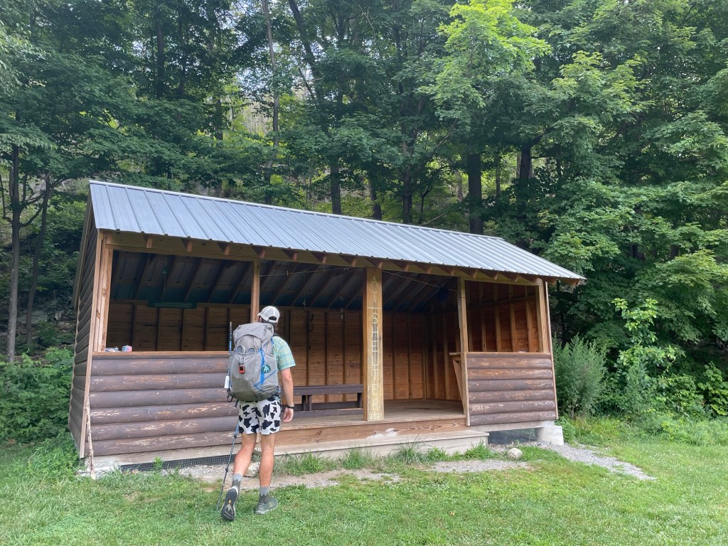
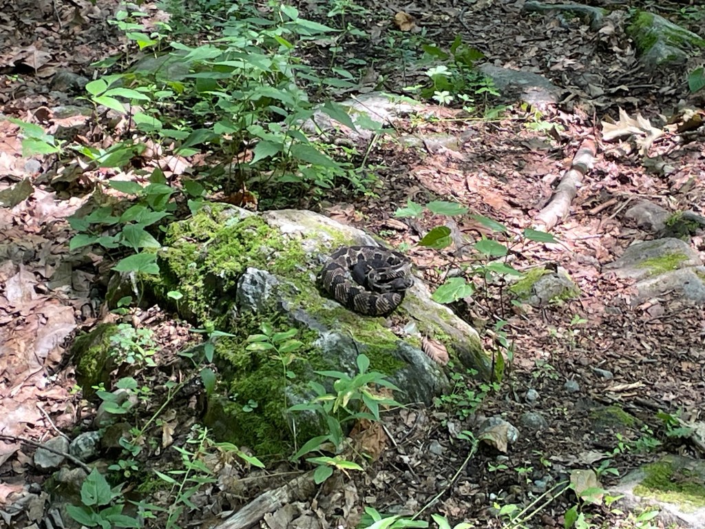
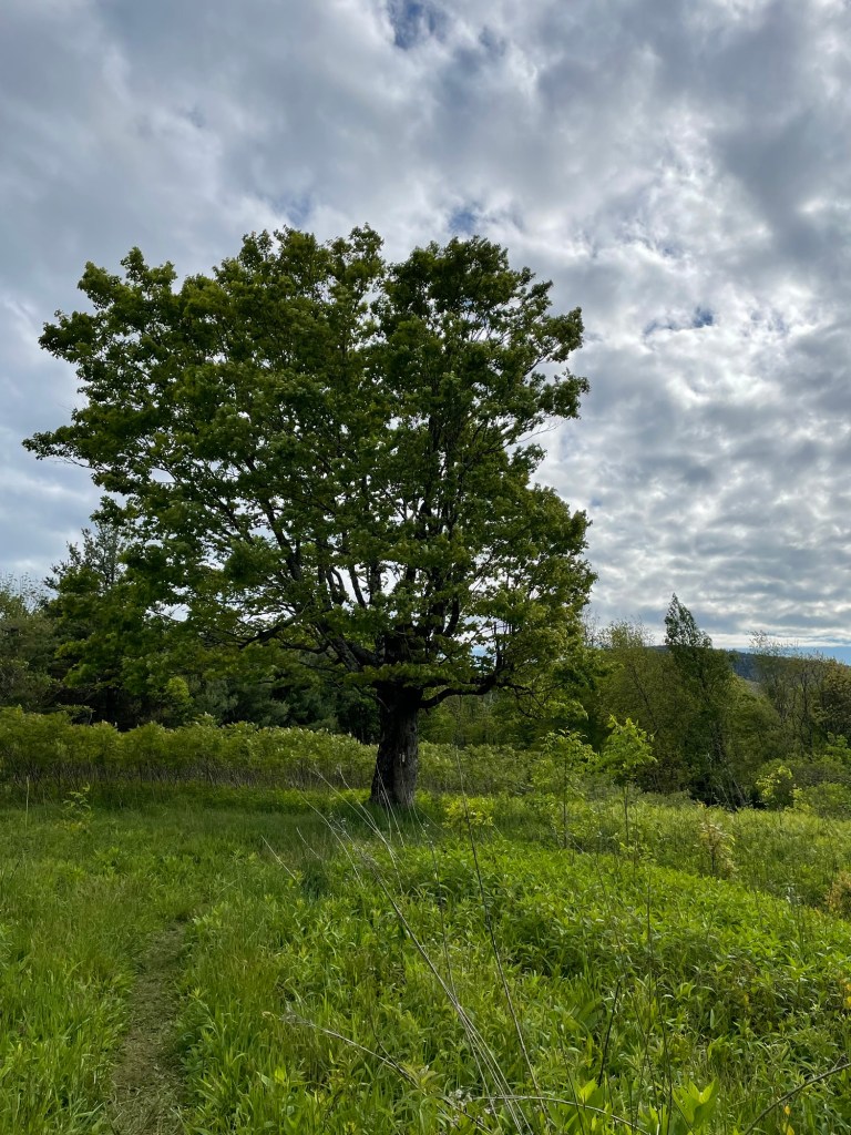
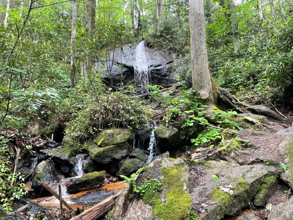
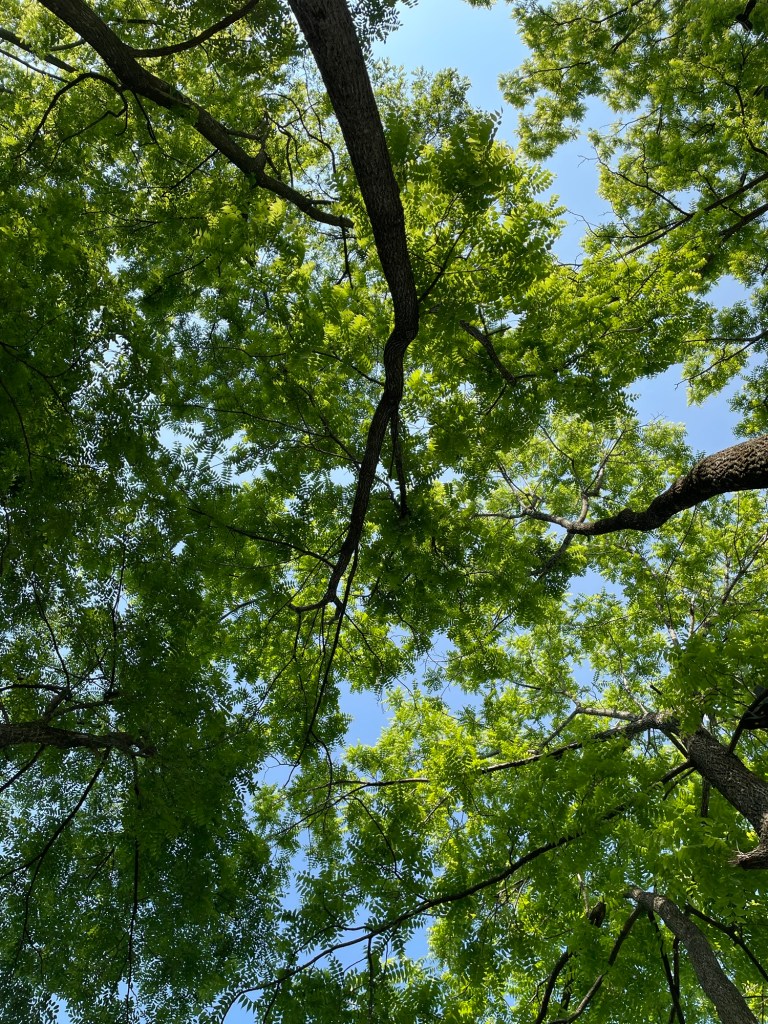
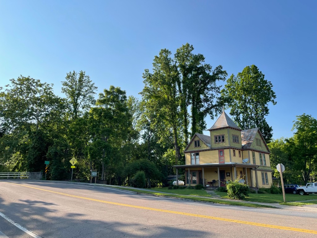
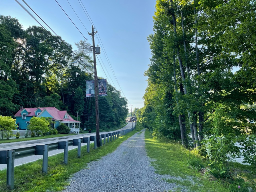
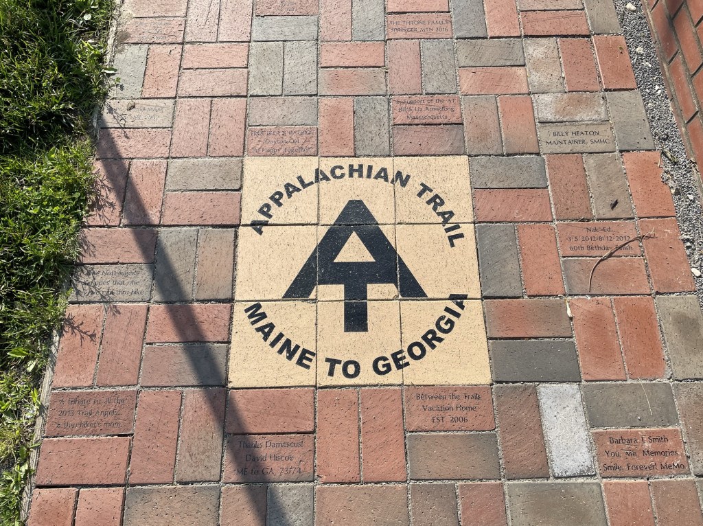
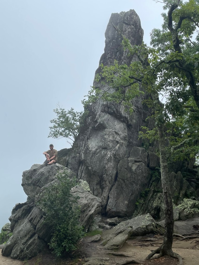
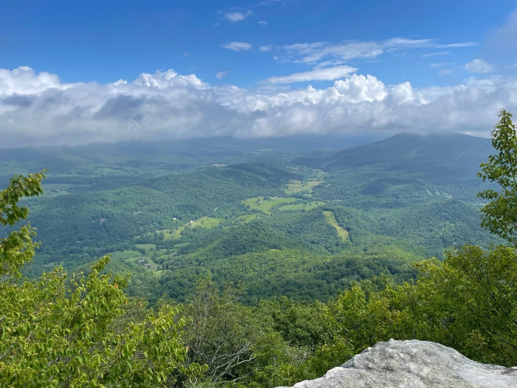
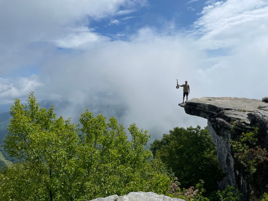
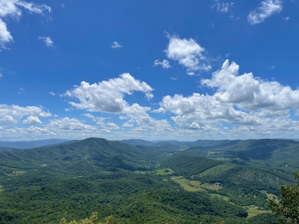
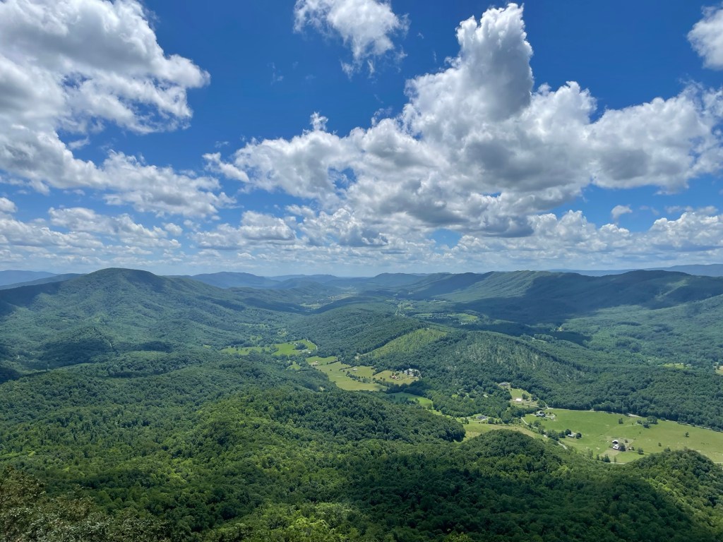
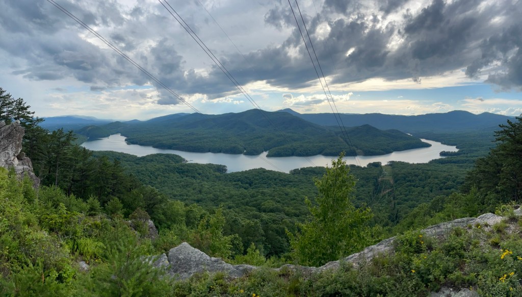
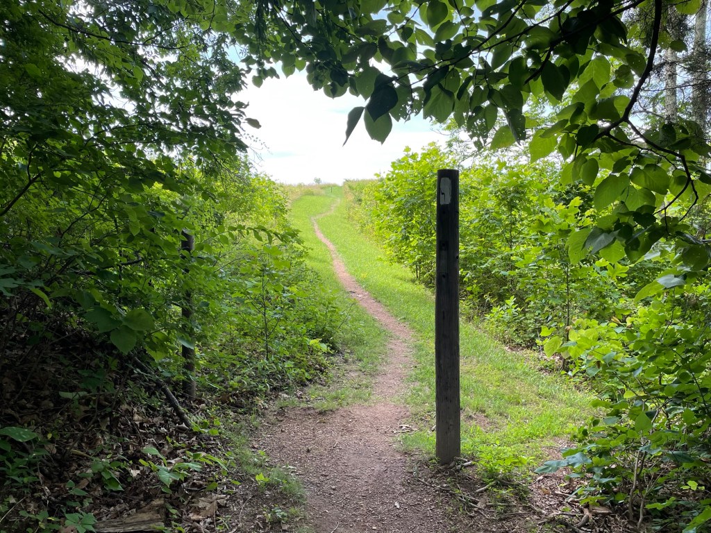
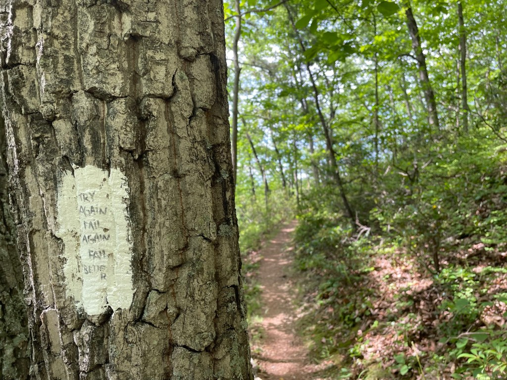
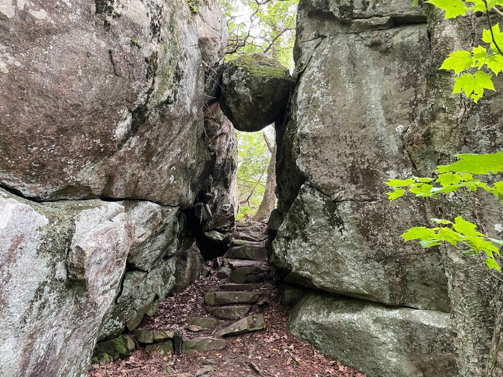
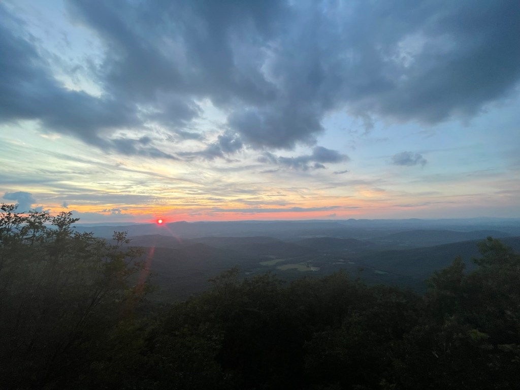
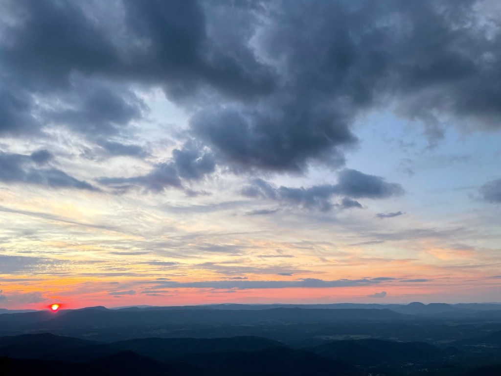
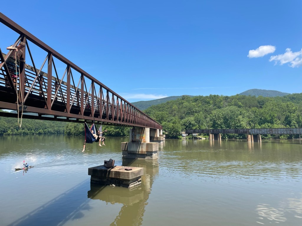
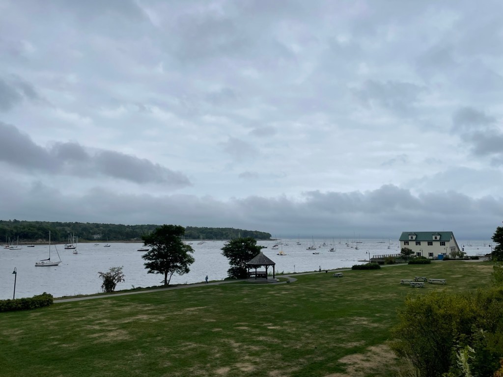
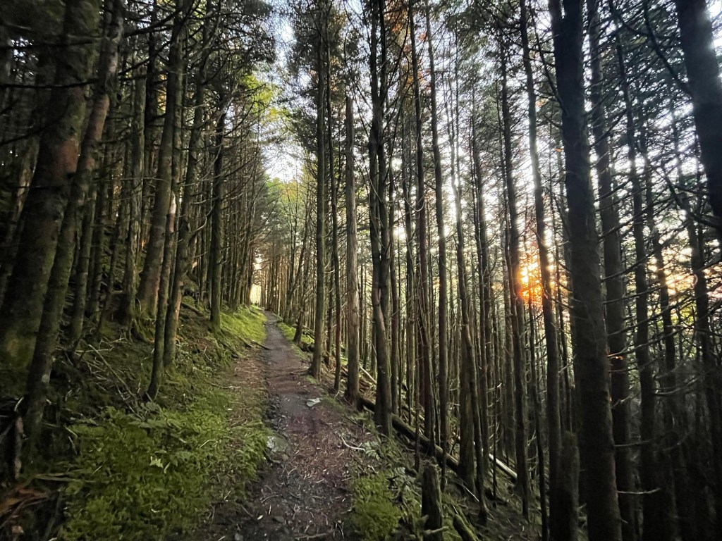
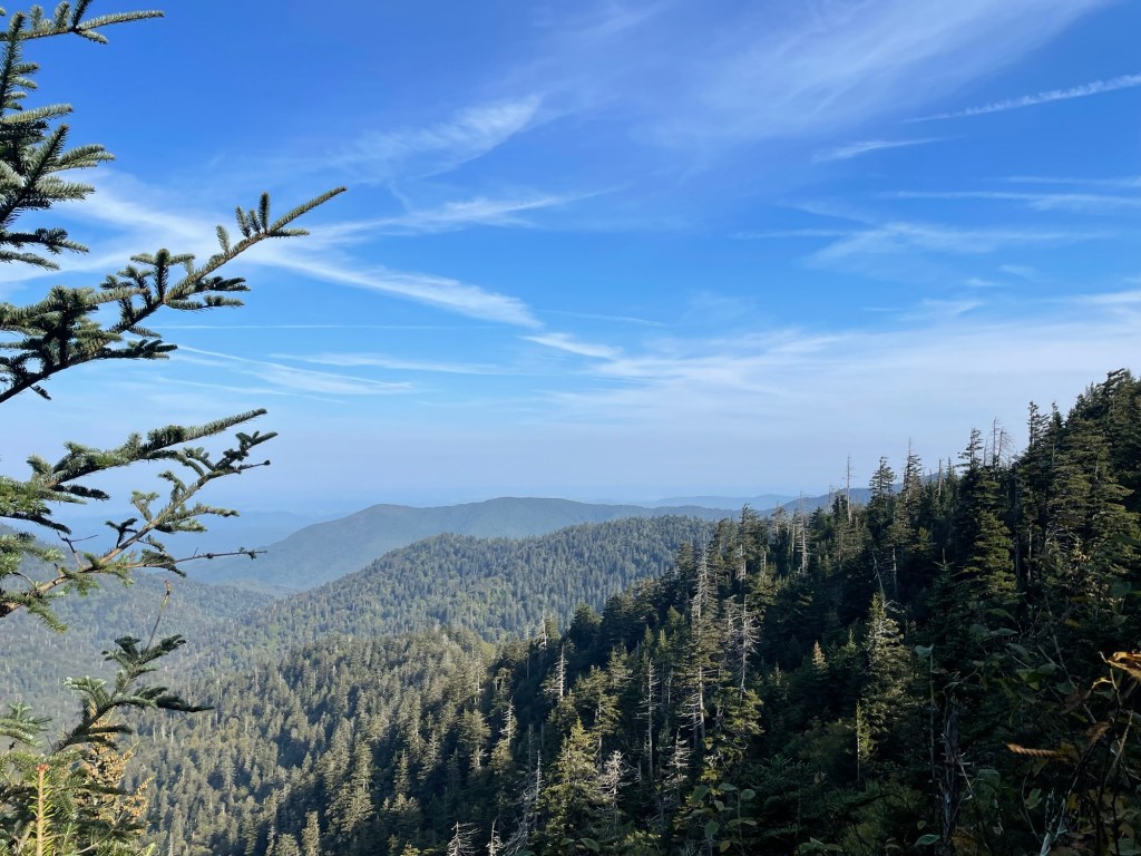
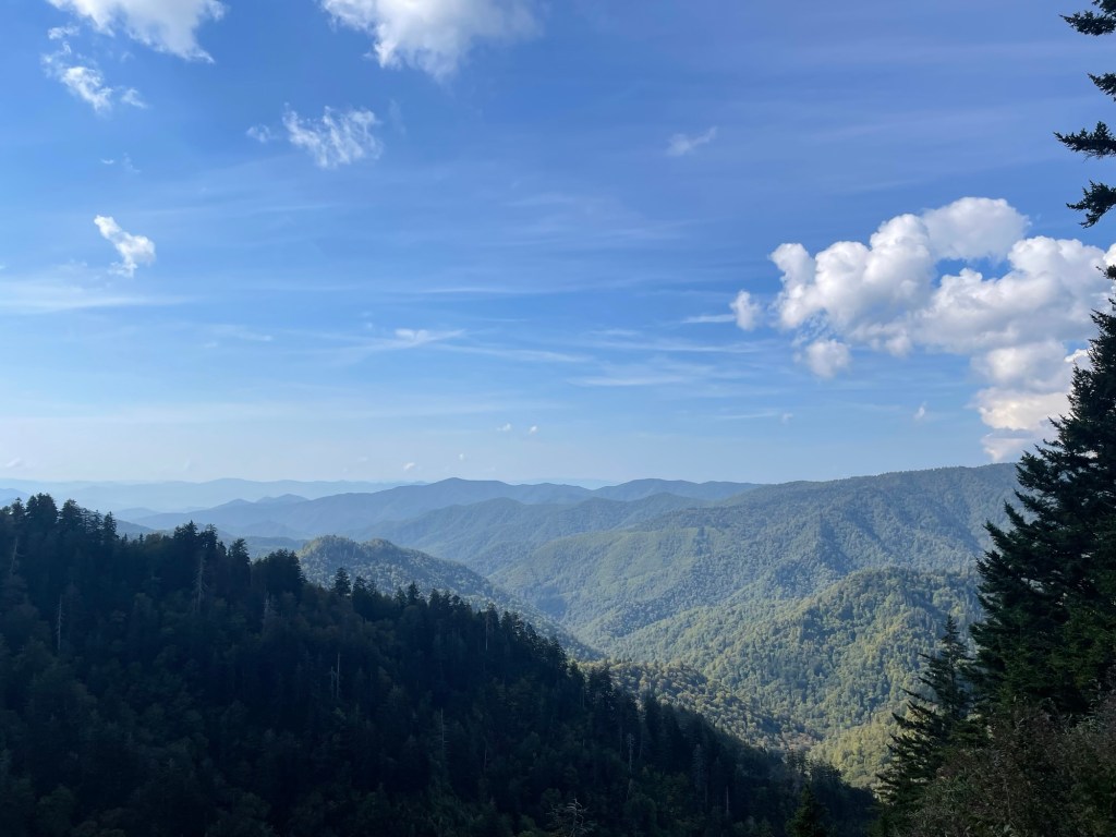
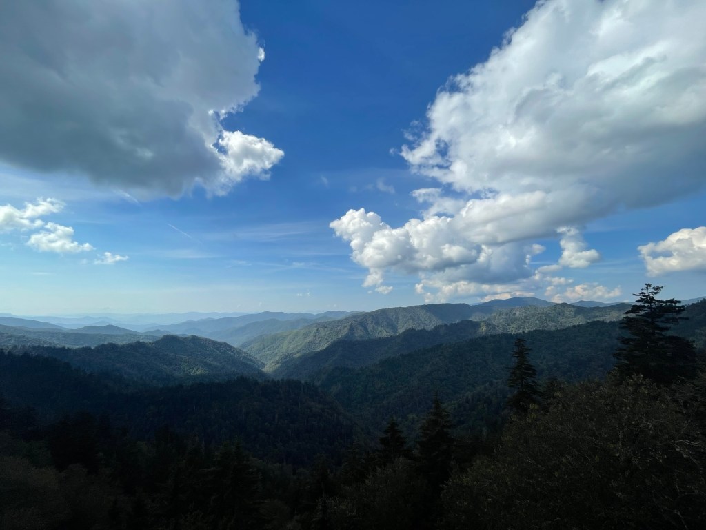
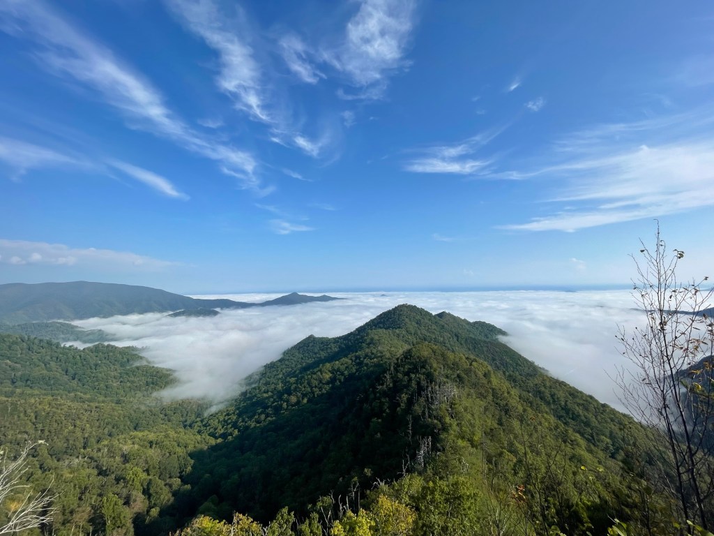
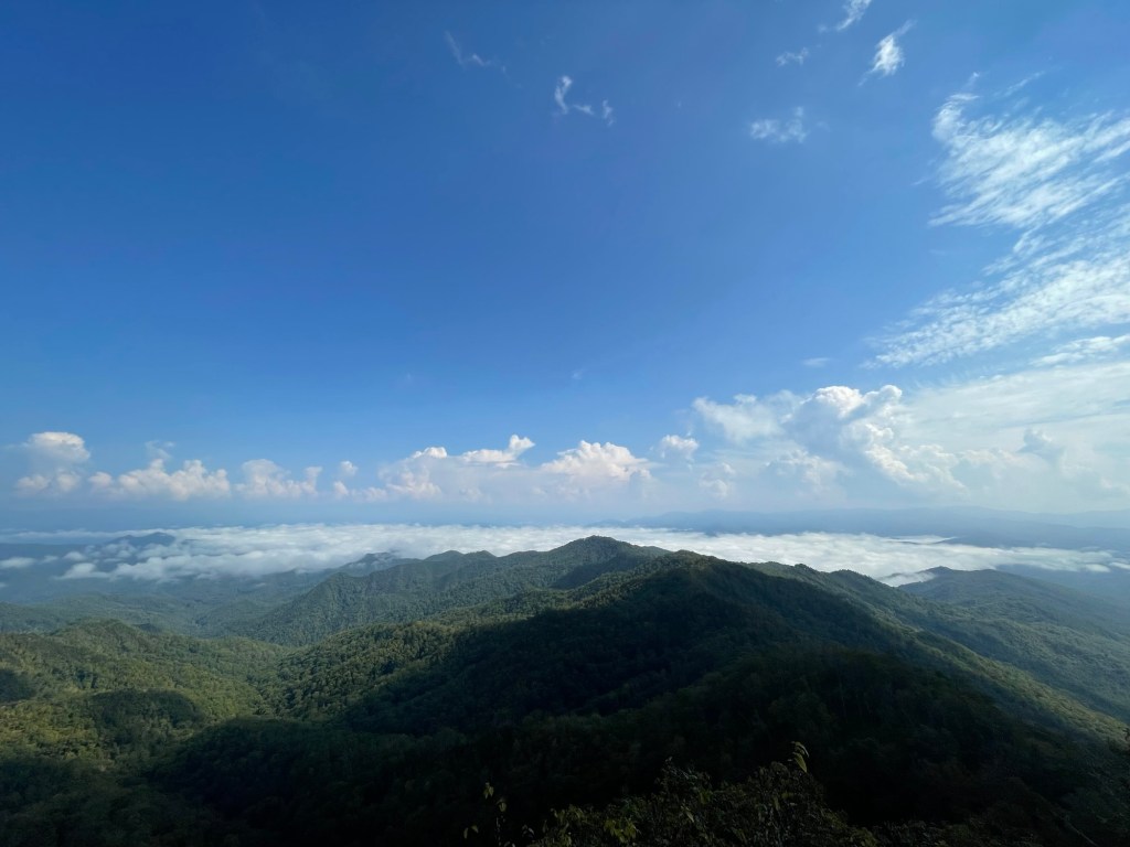
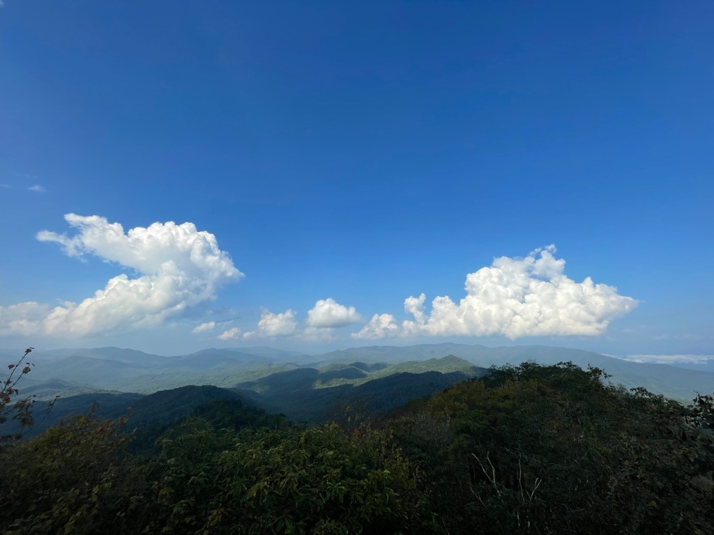
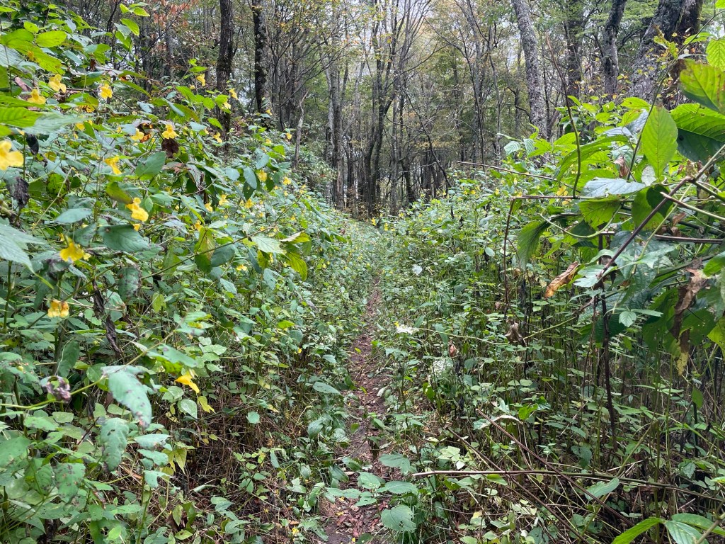
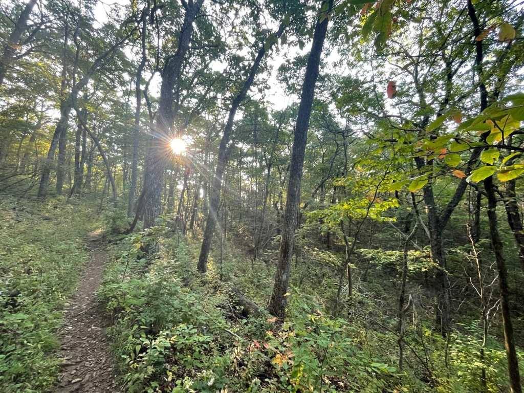
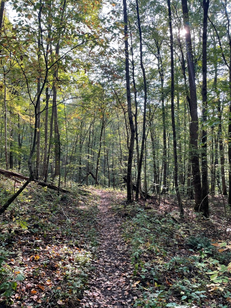
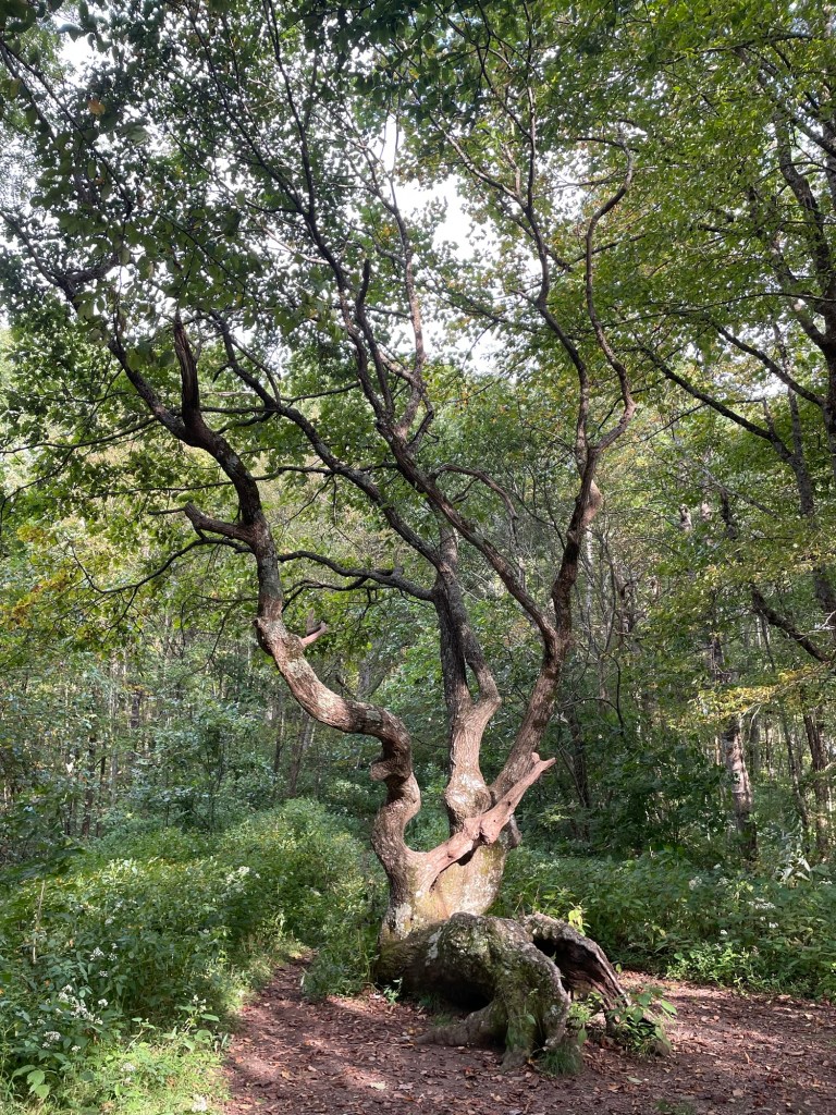
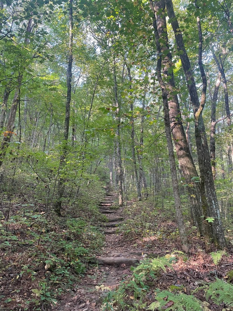
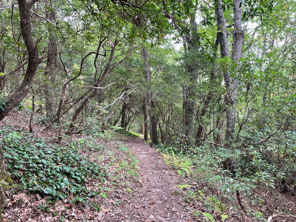
- Woody
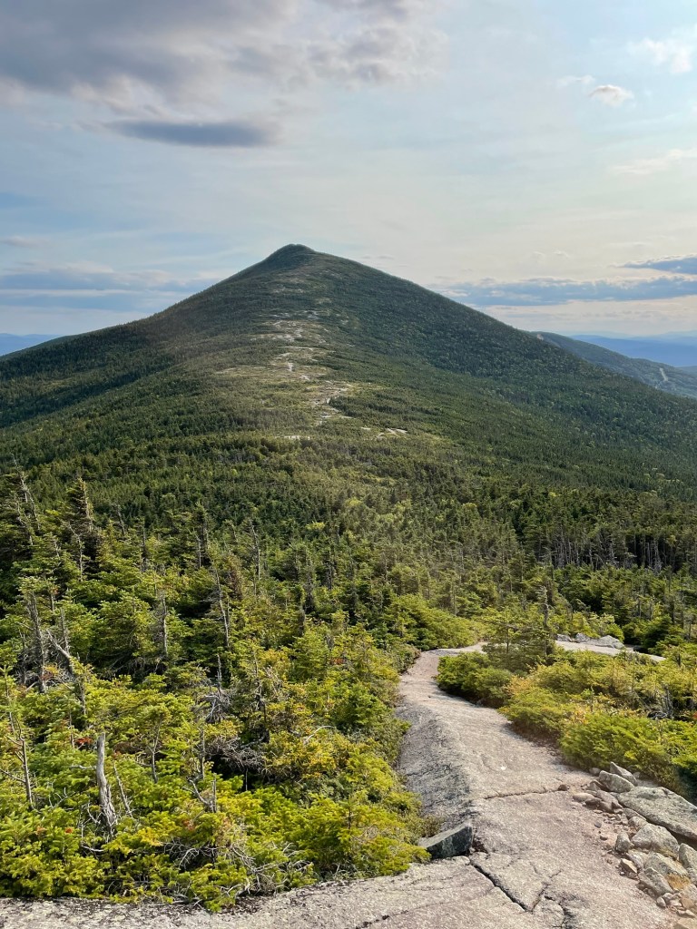
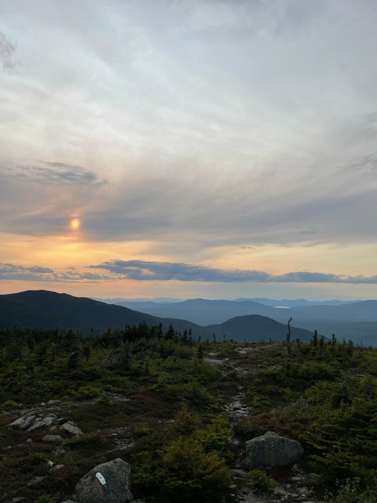
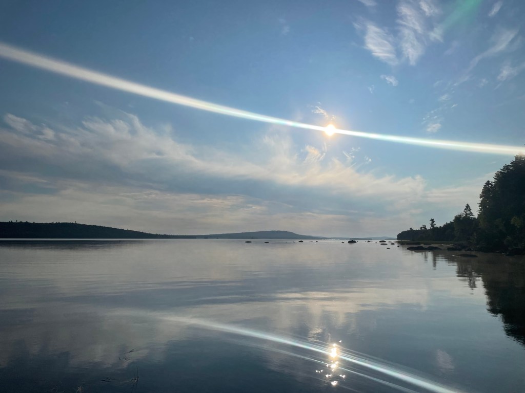
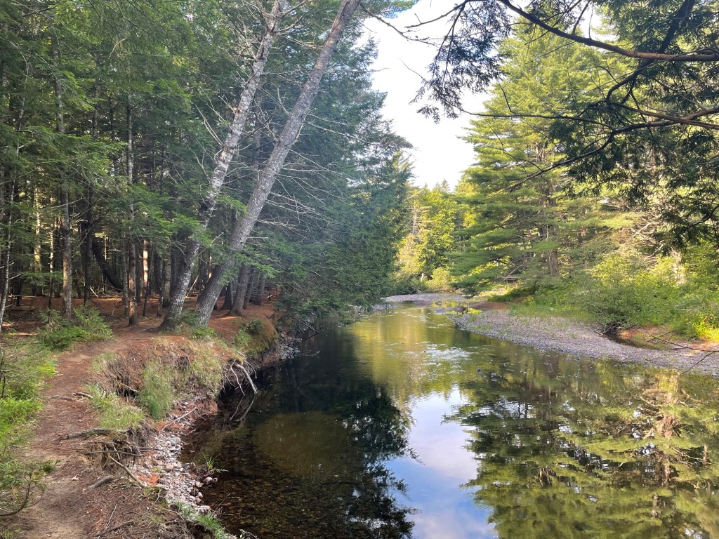
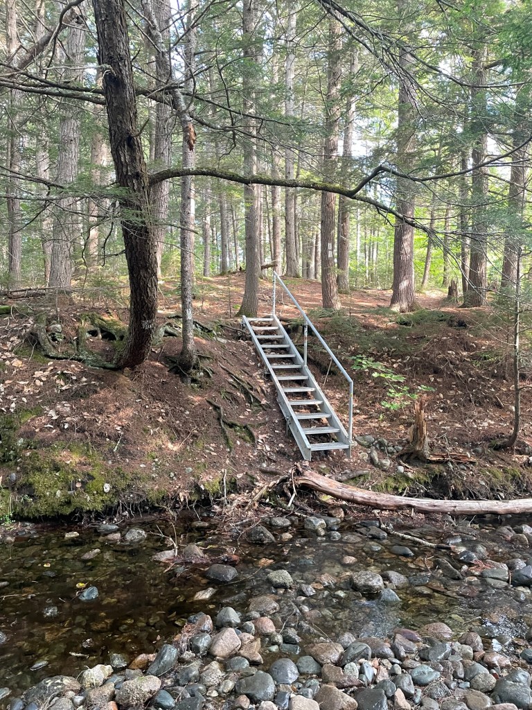
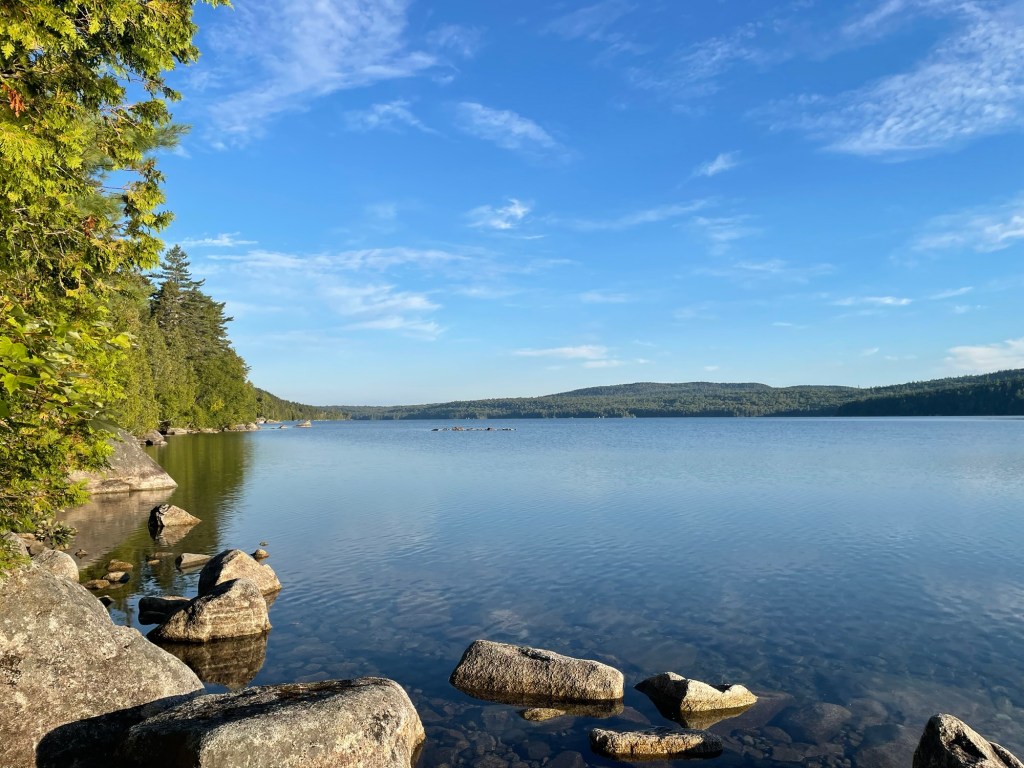
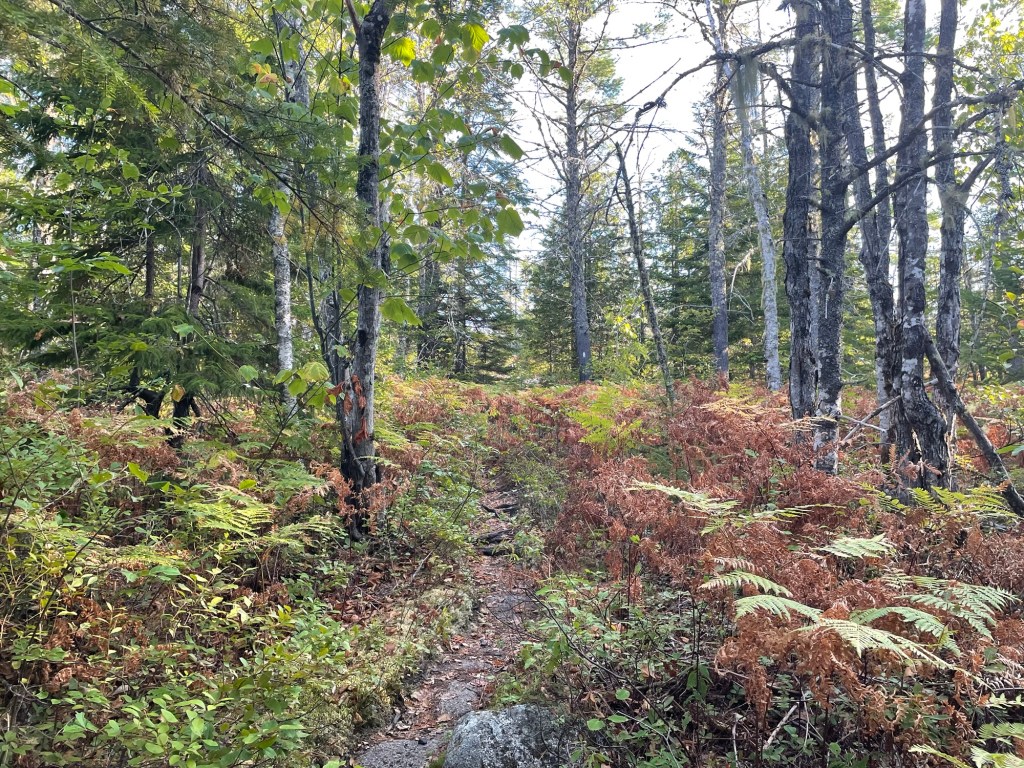
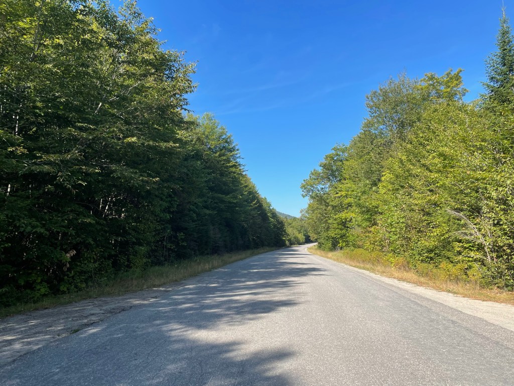
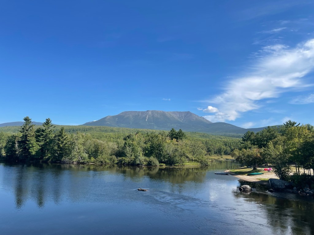
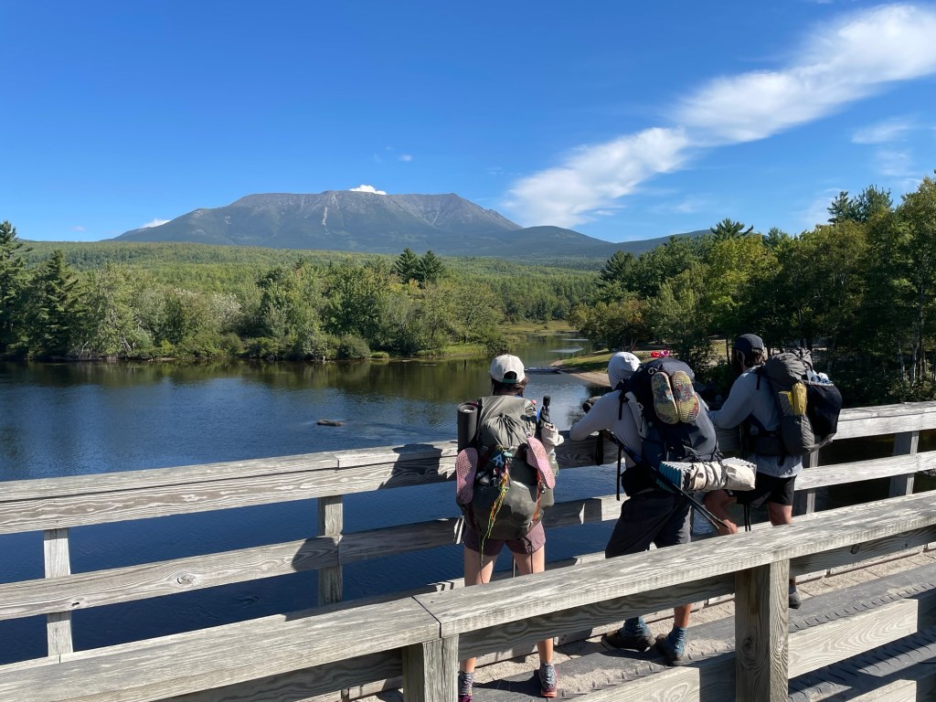
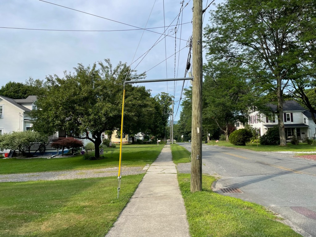
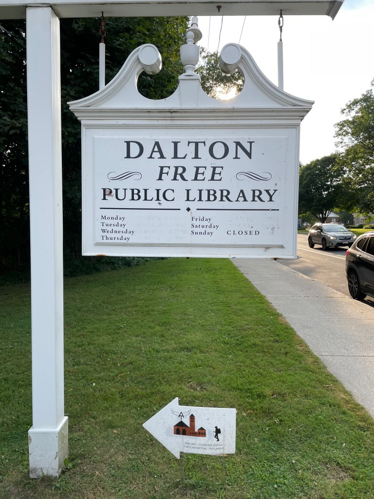
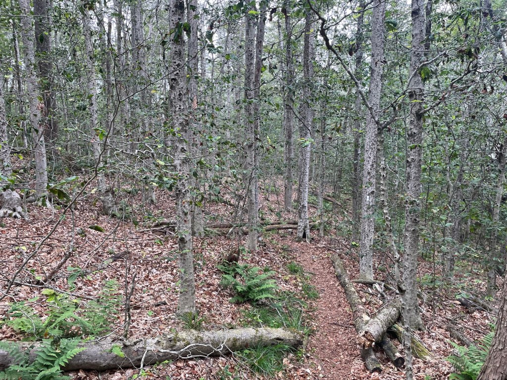
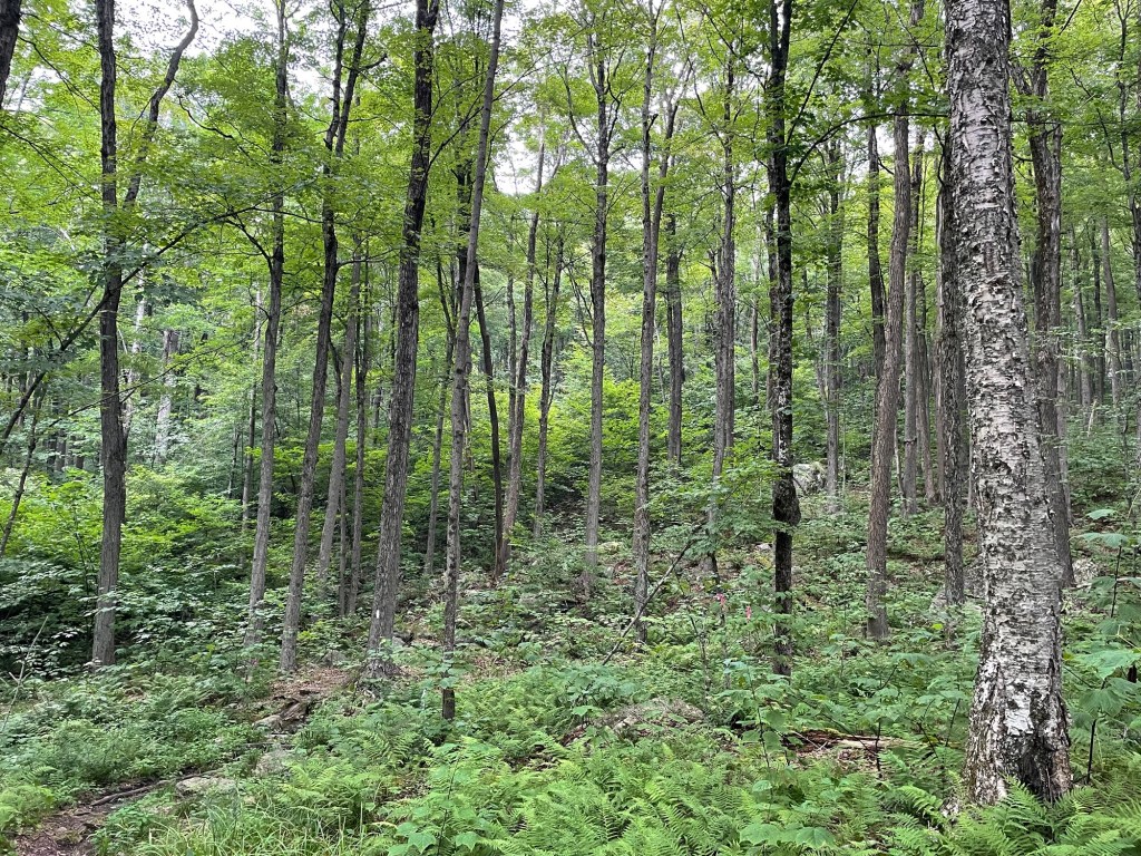
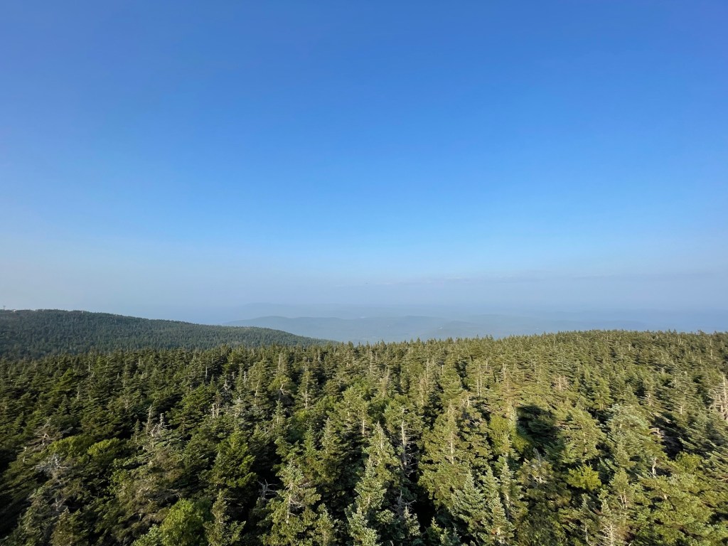
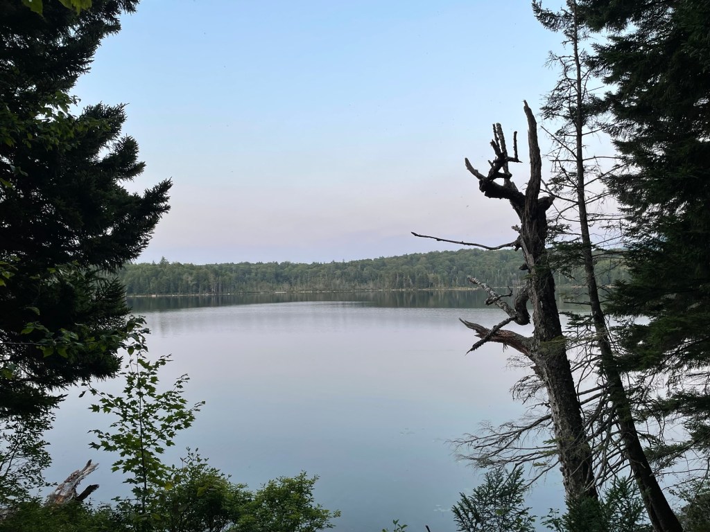
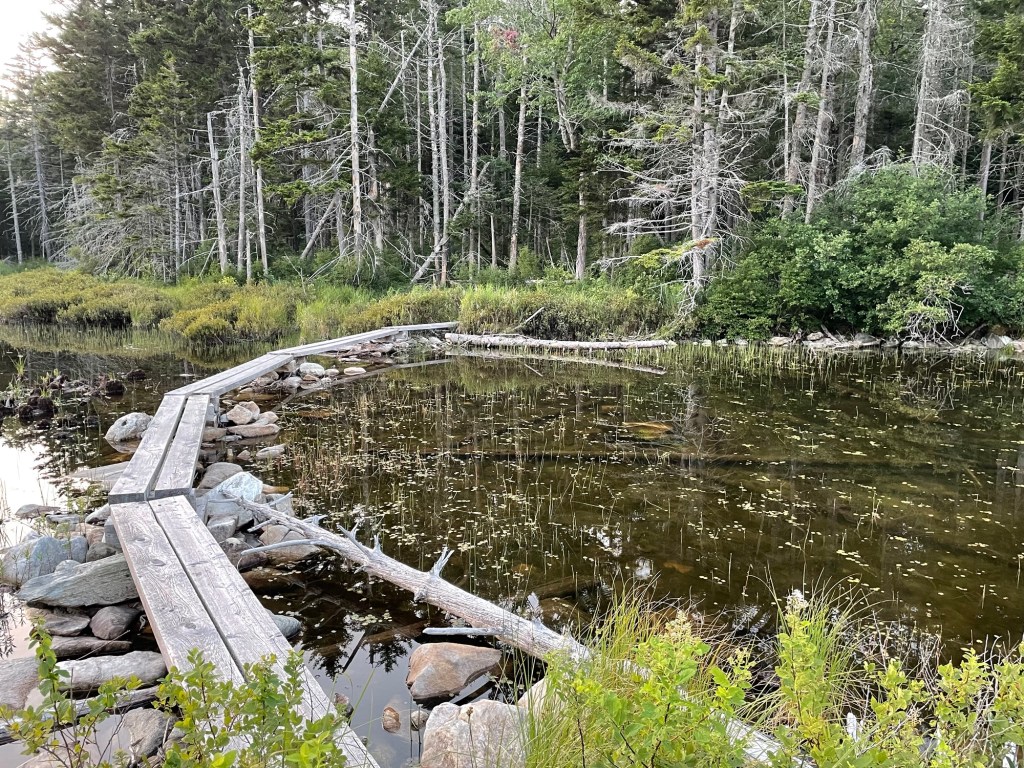
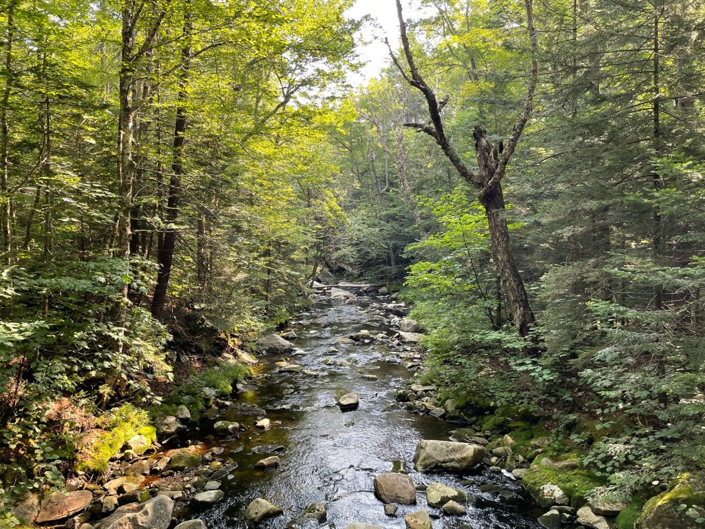
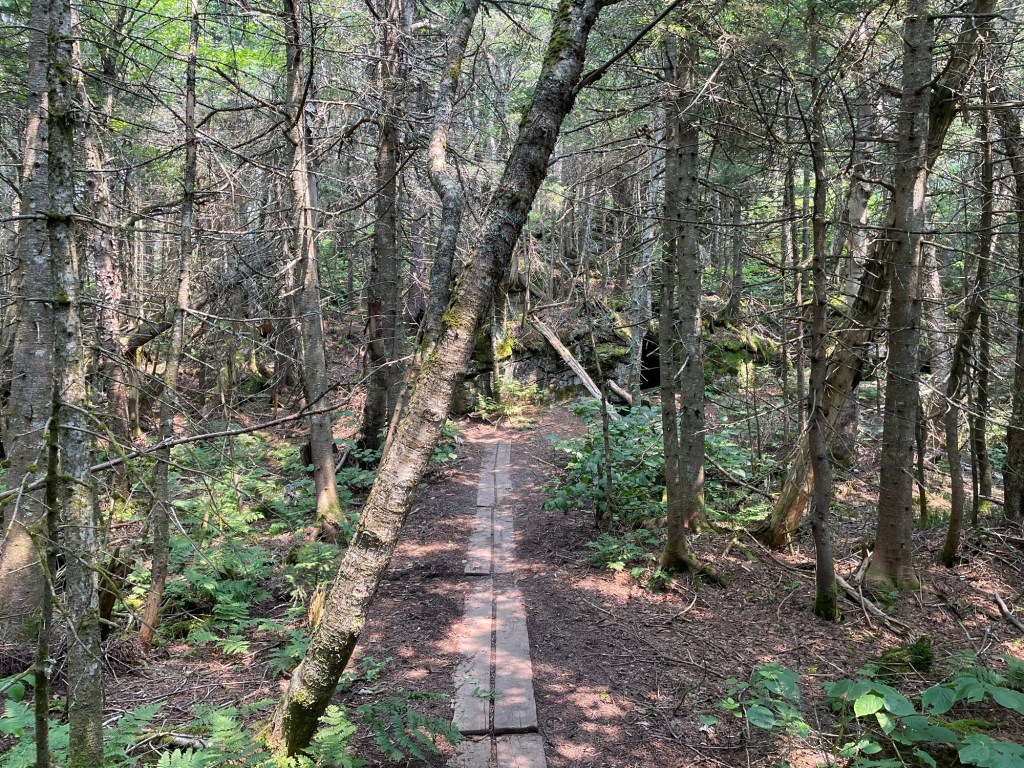
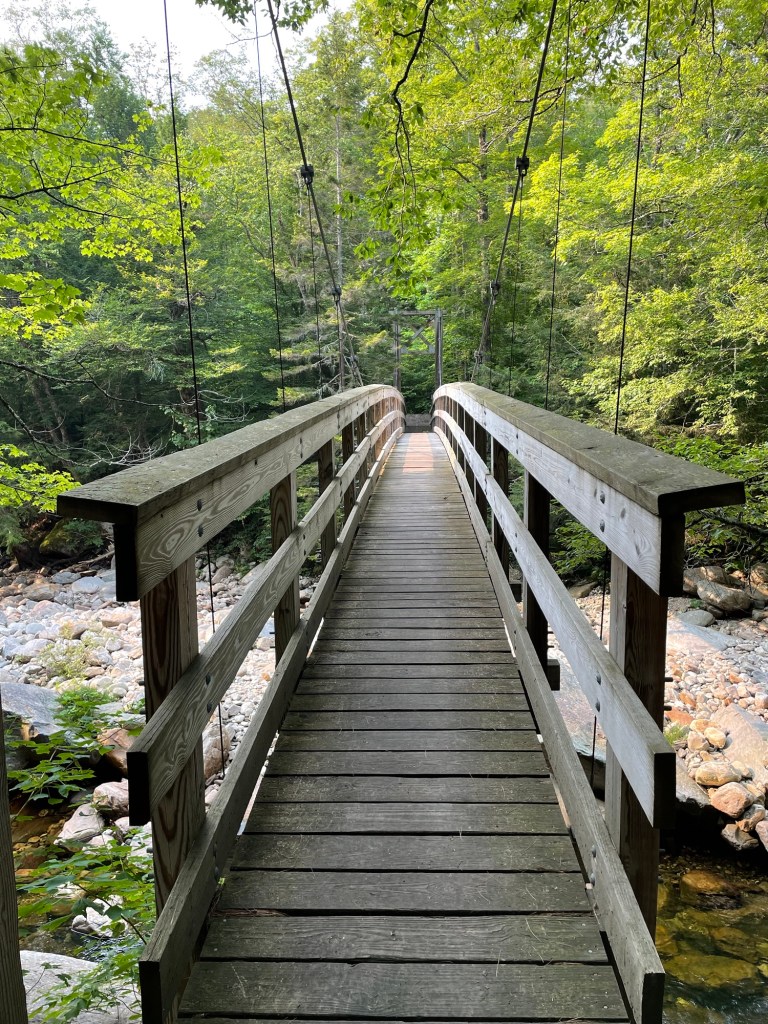
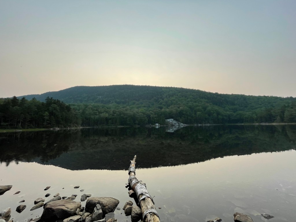
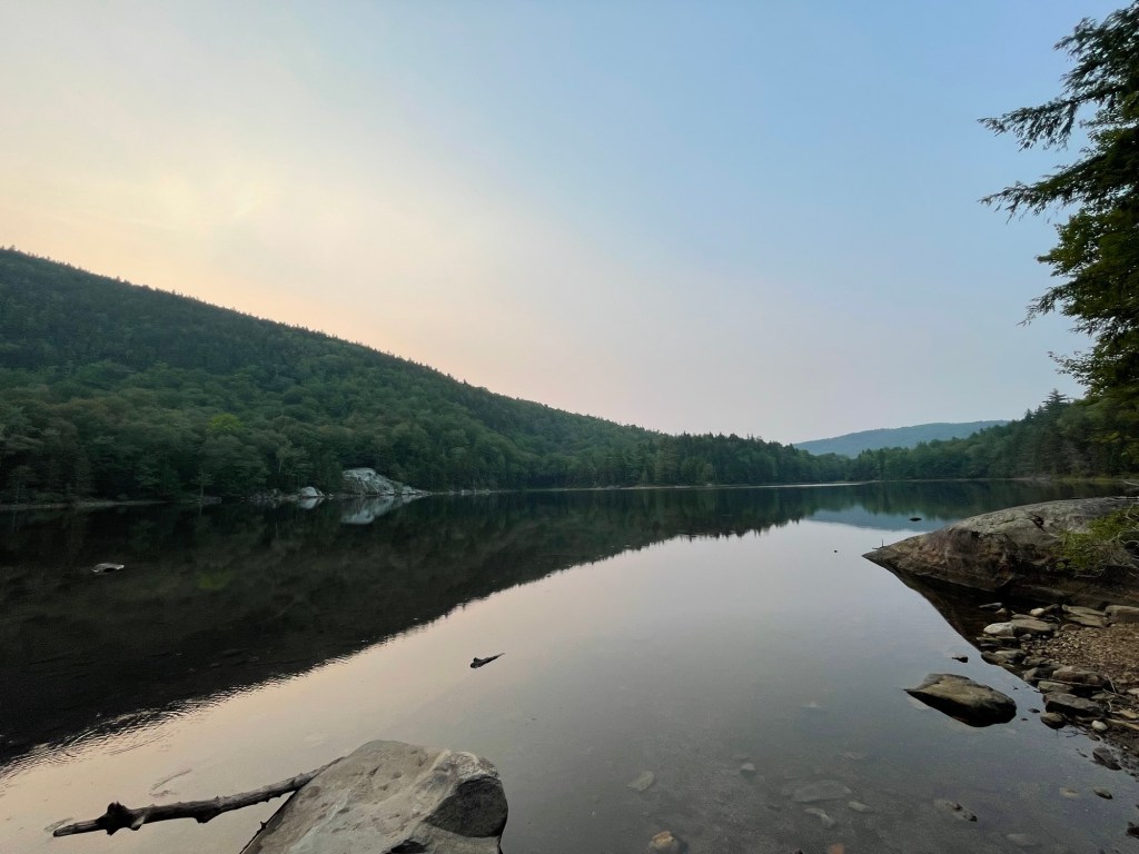
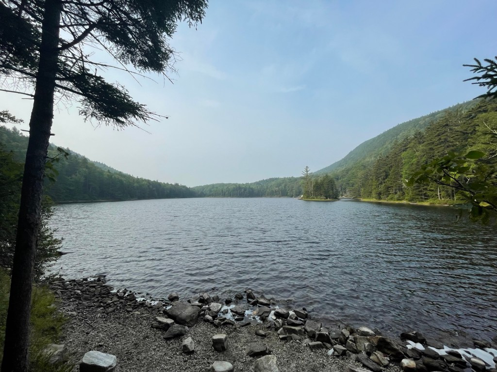
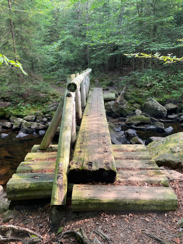
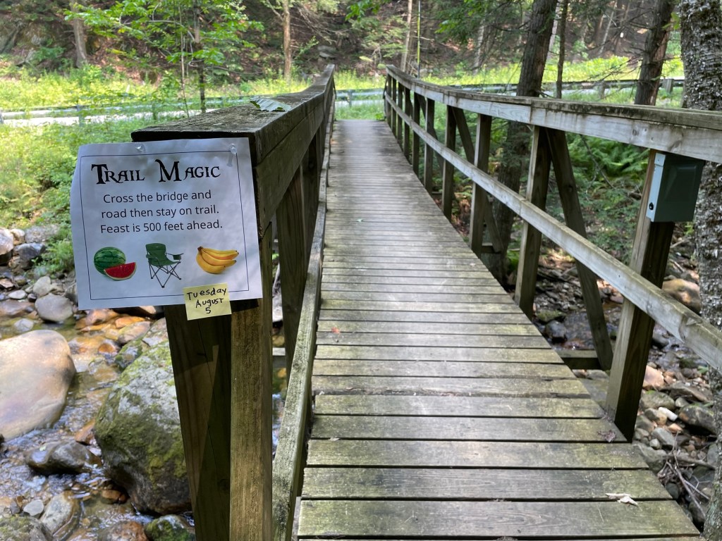
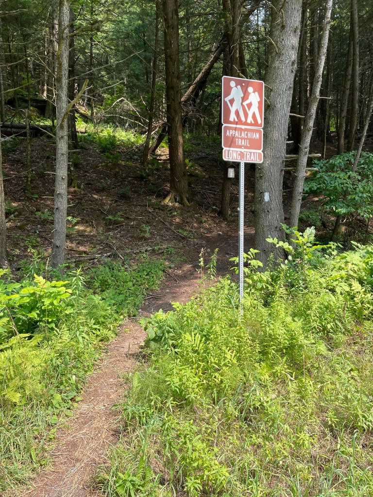
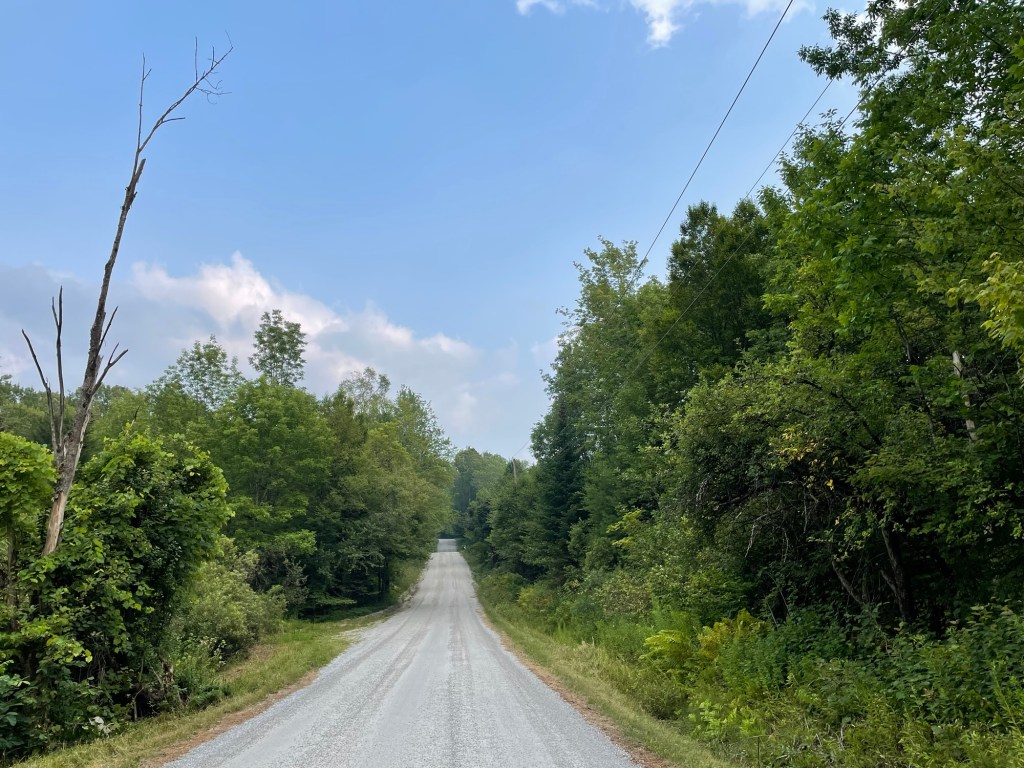
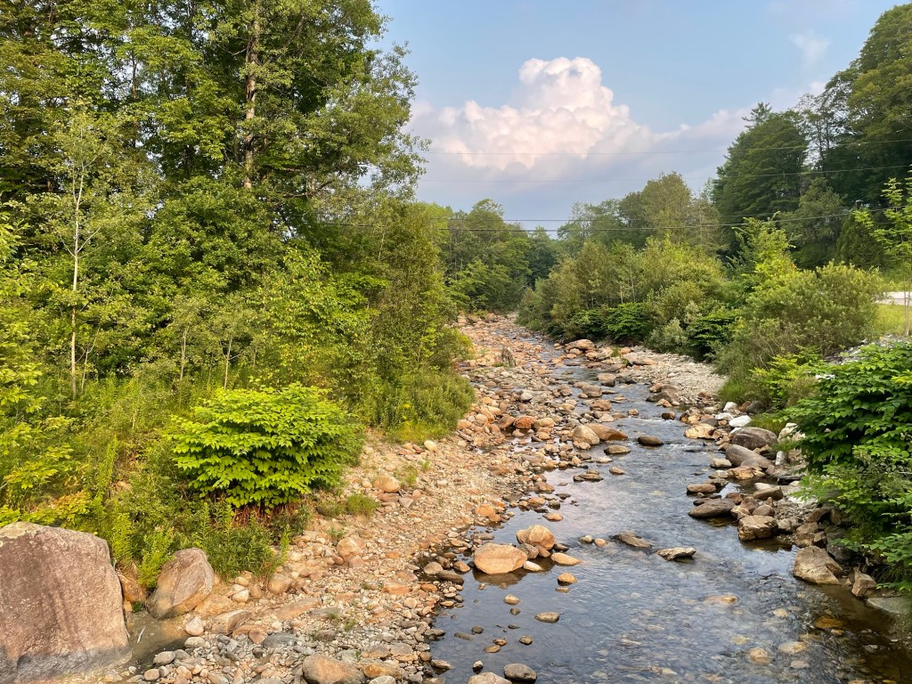
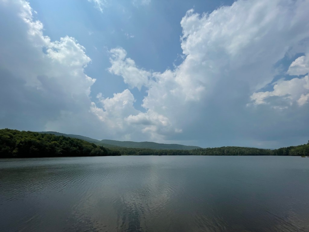
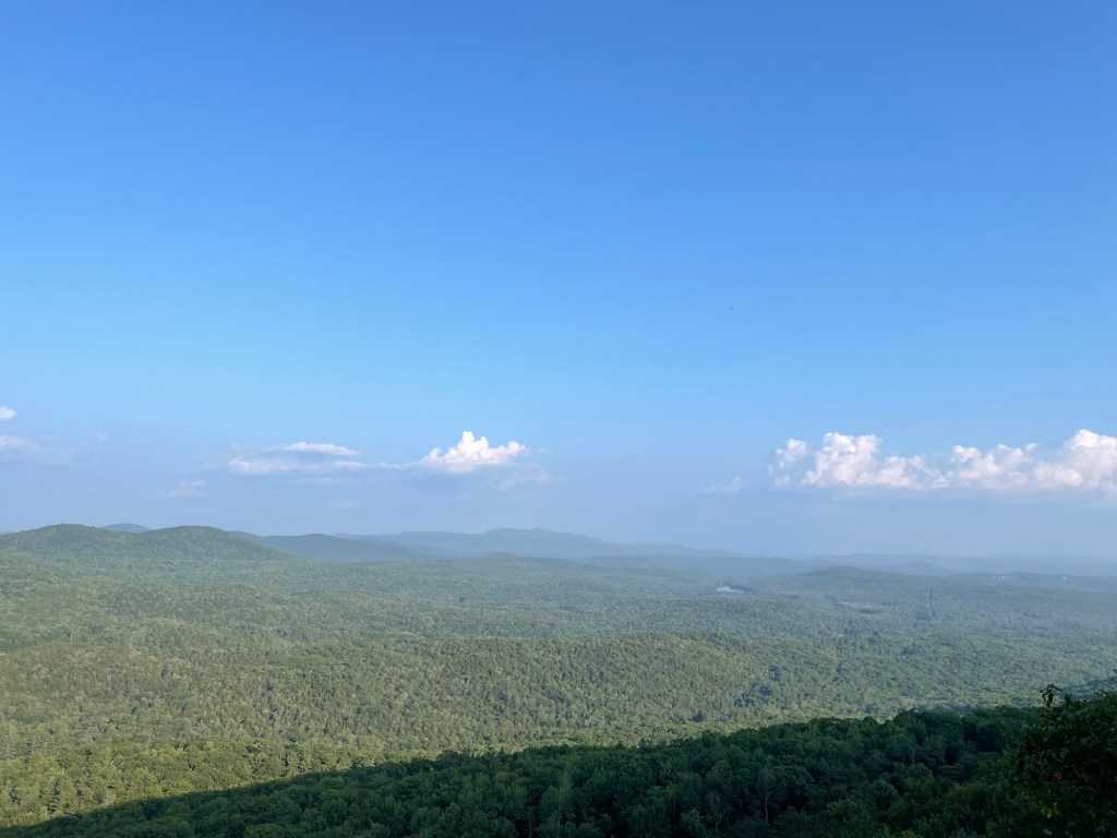
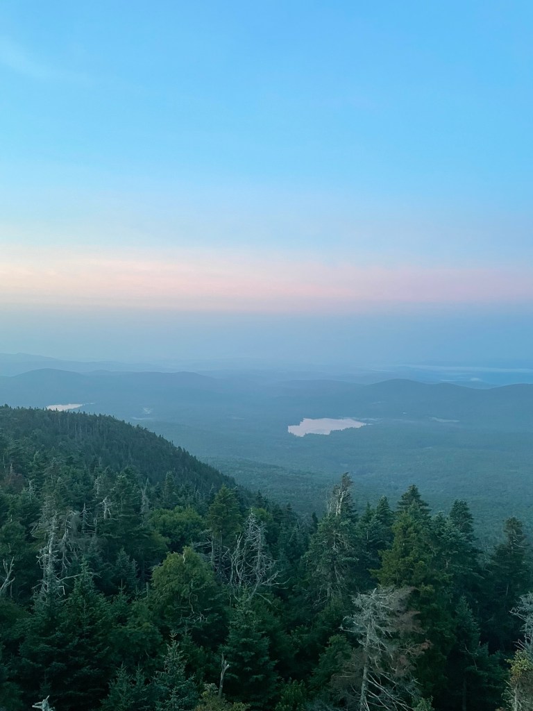
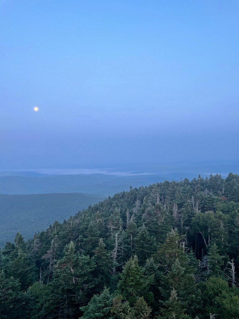
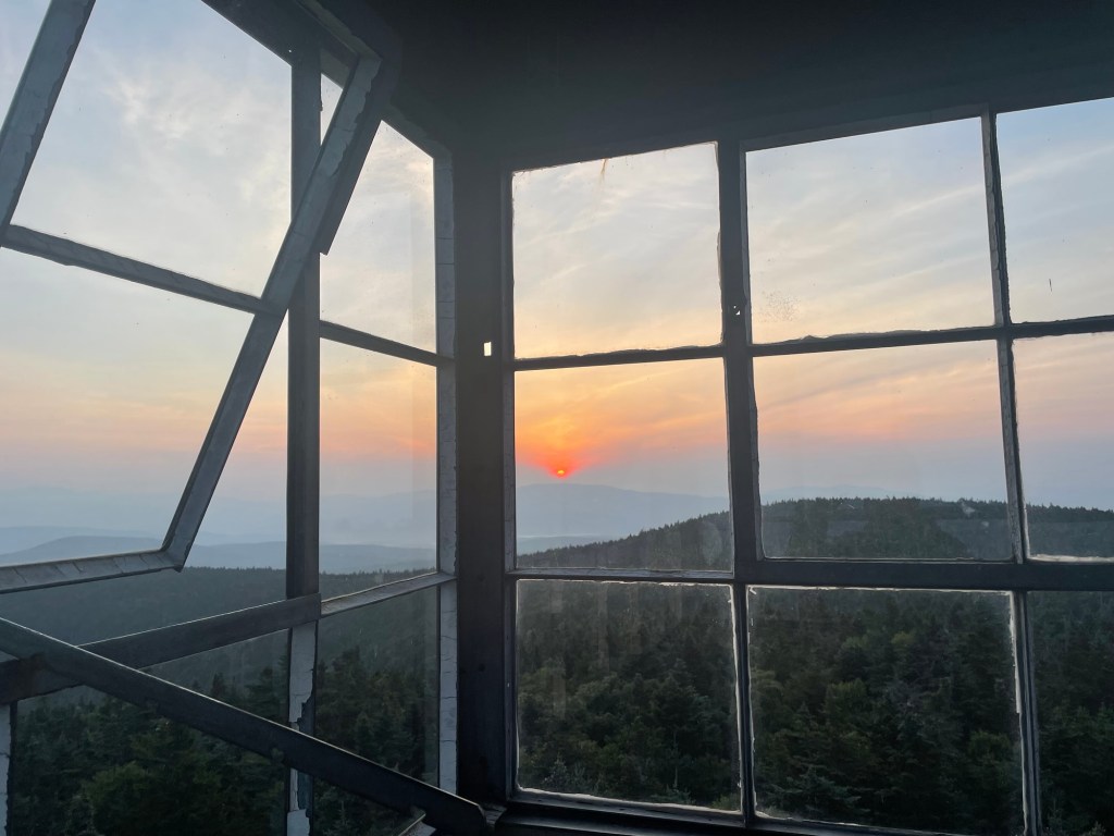
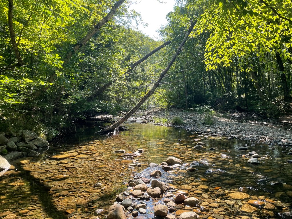
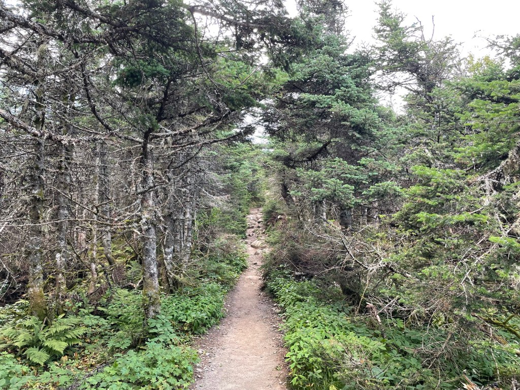
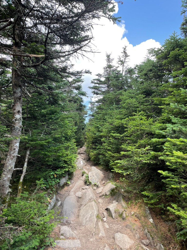
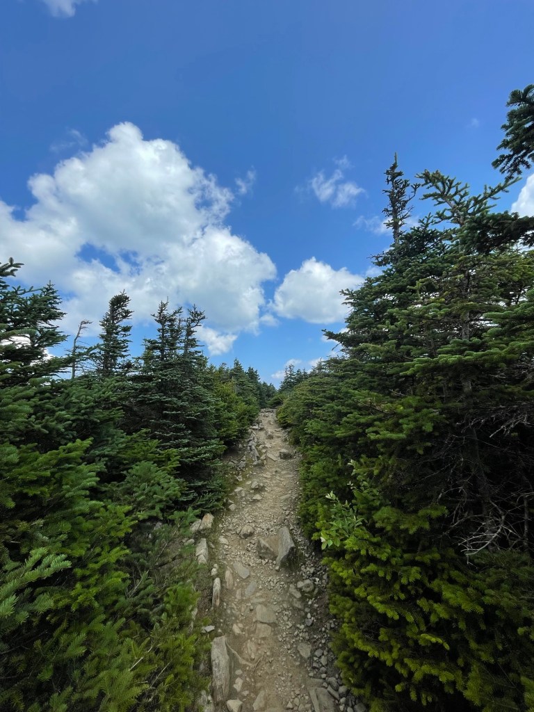
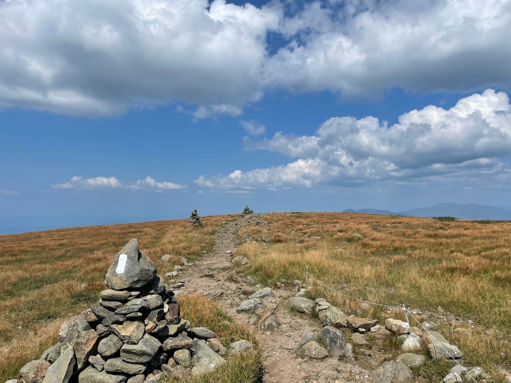
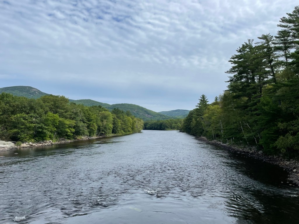
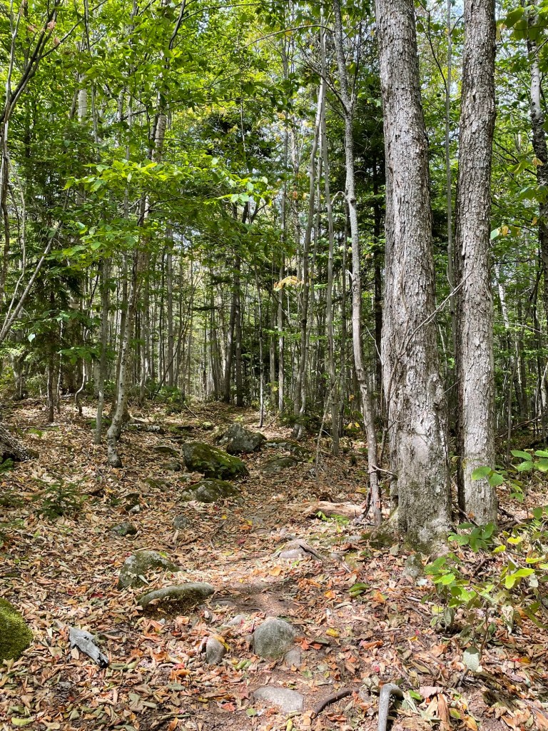
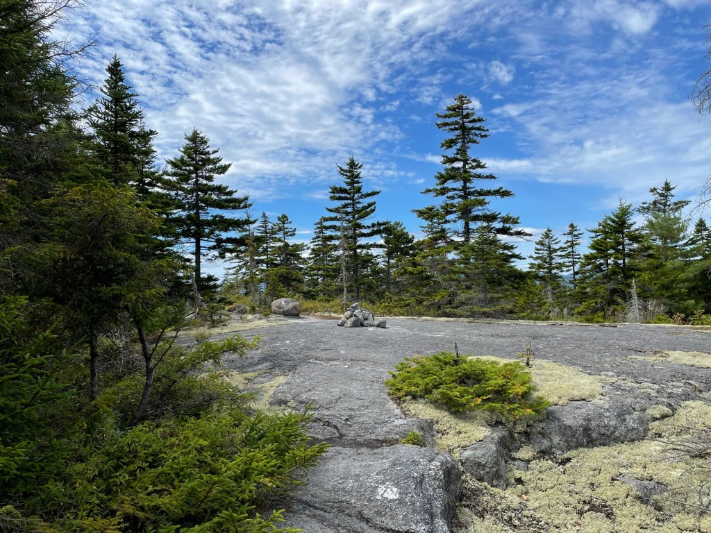
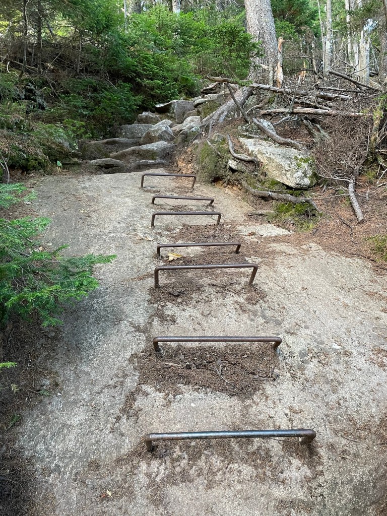
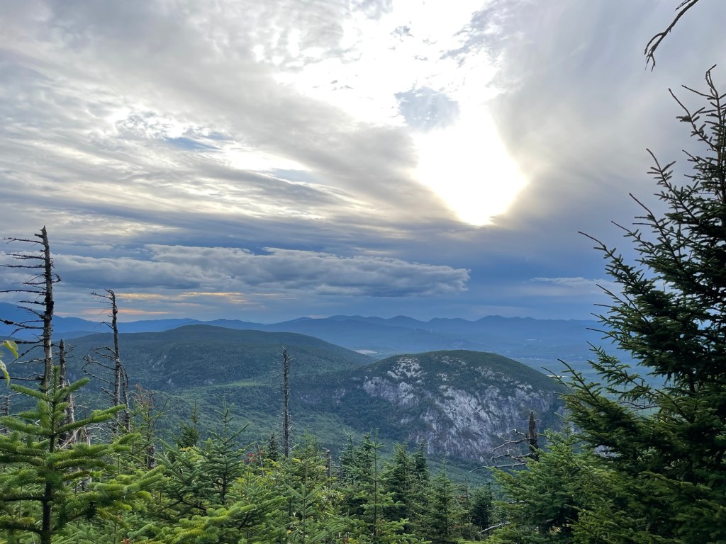
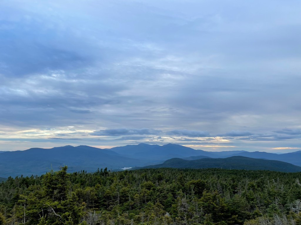
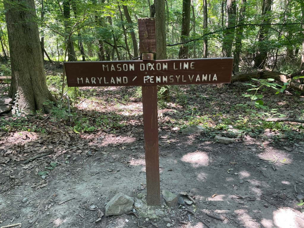
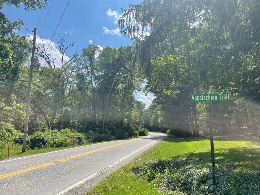
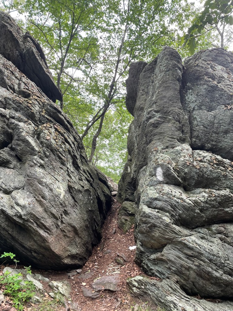
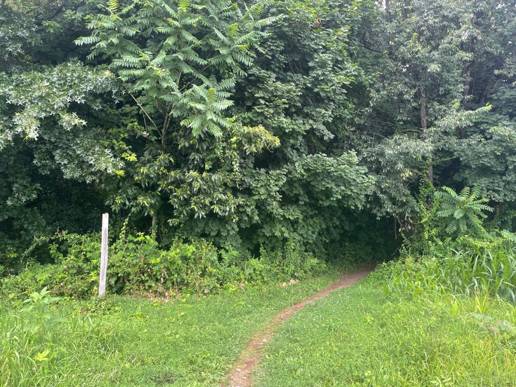
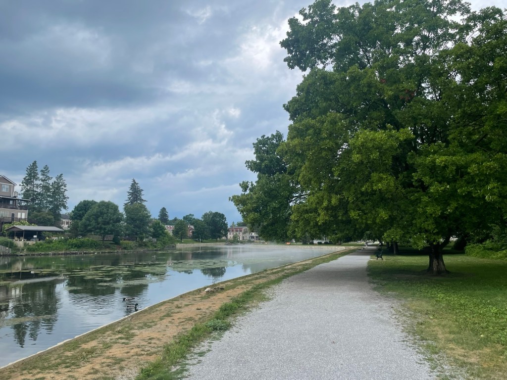
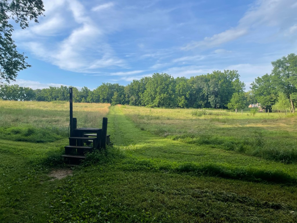
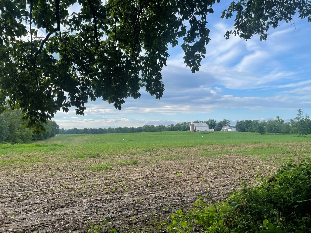
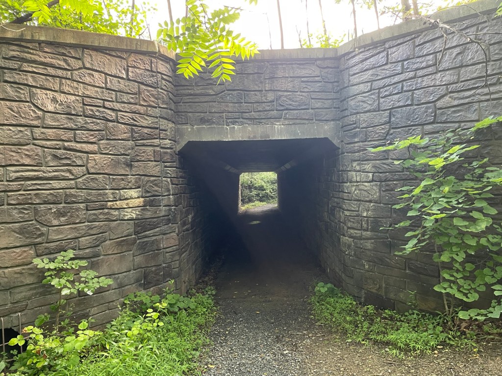
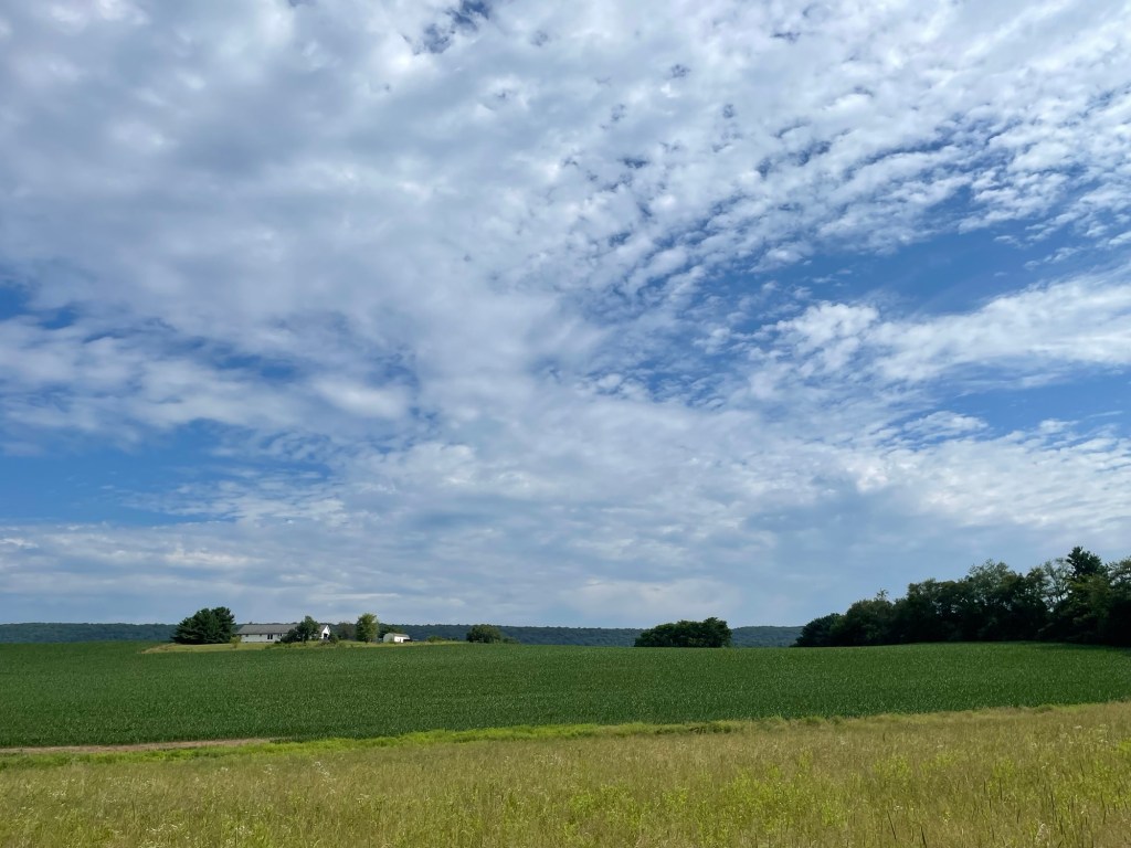
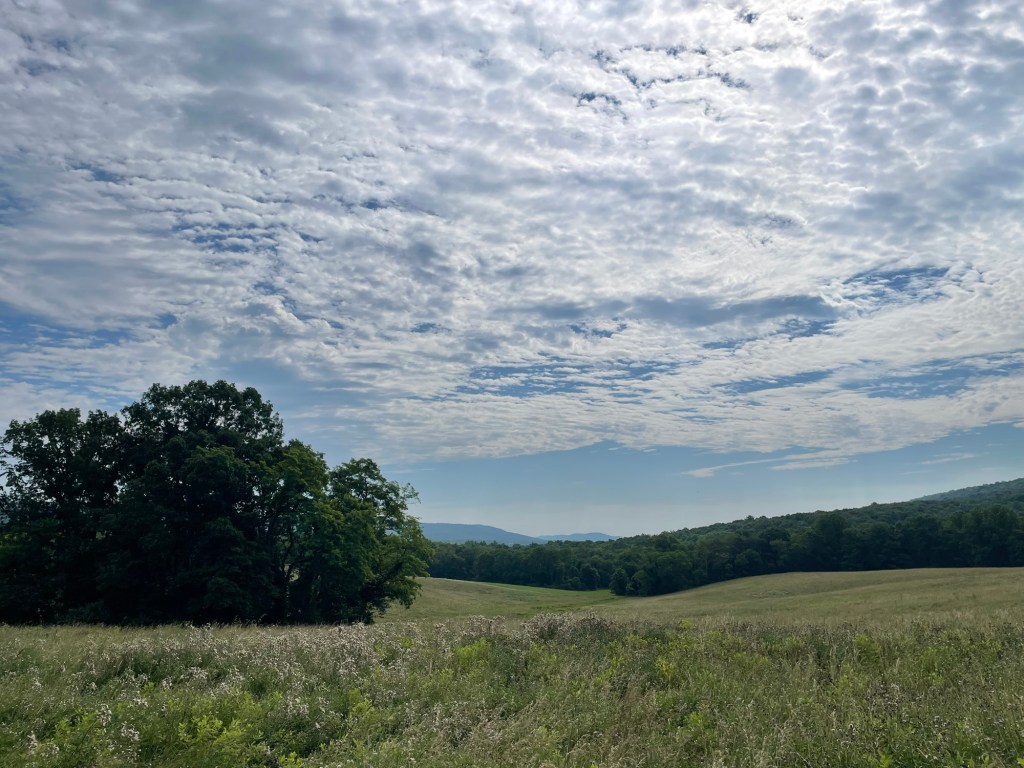
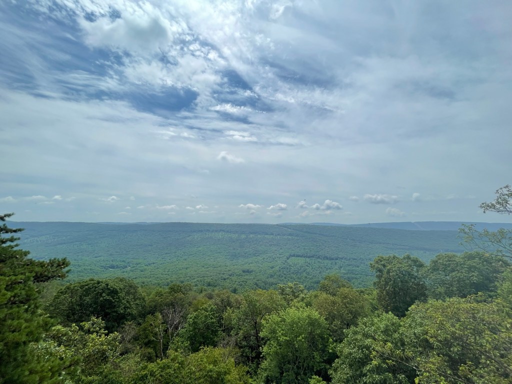
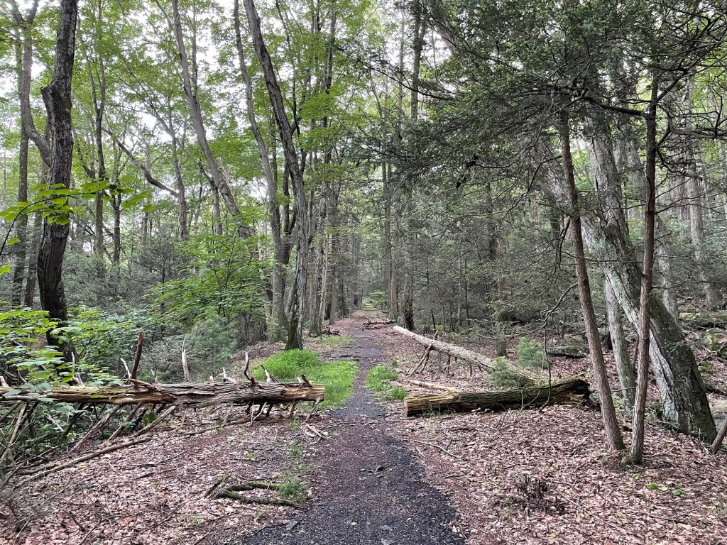
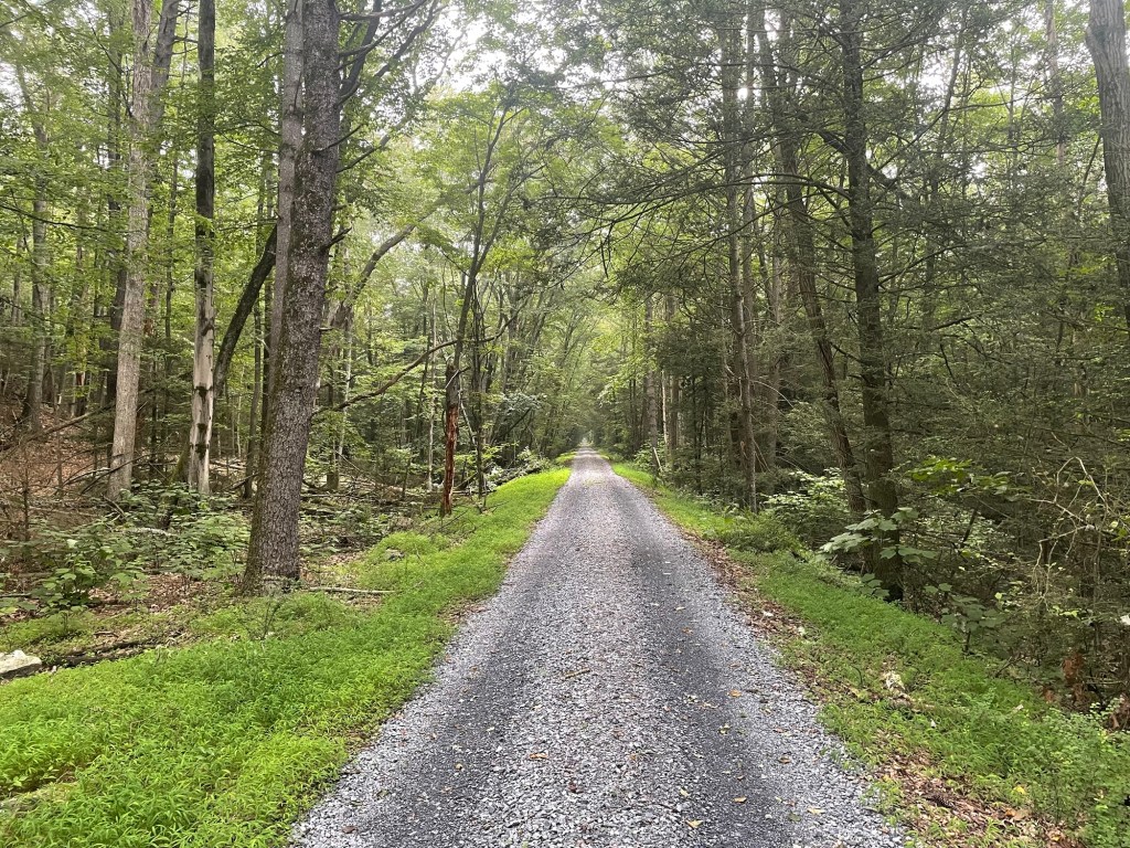
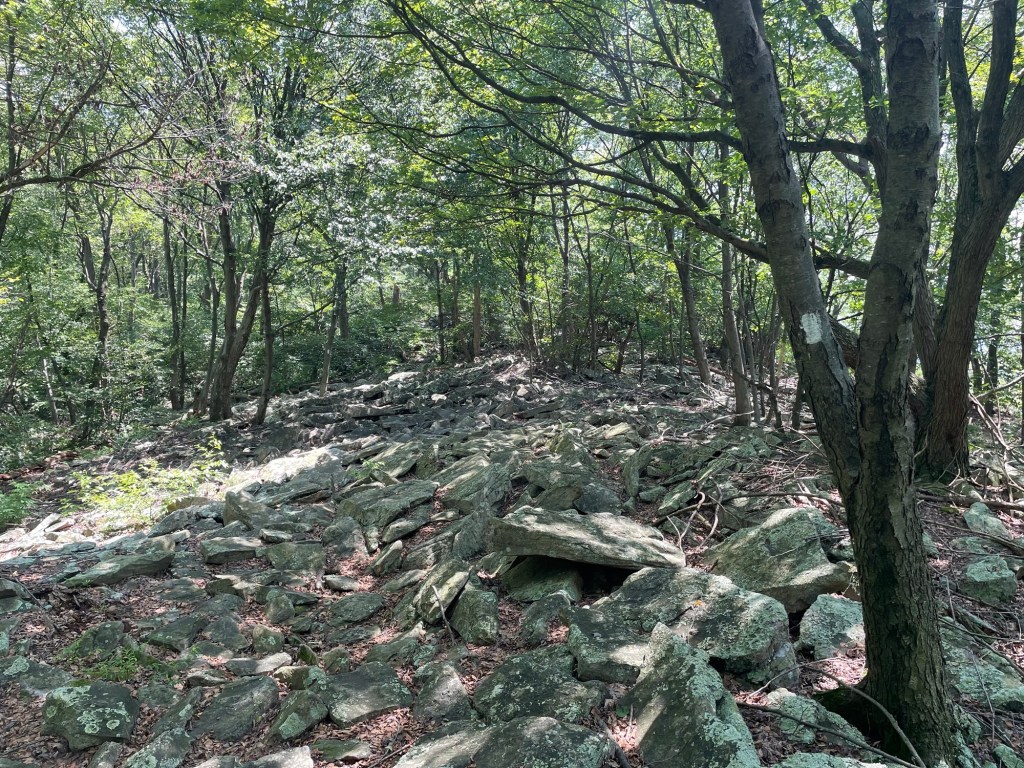
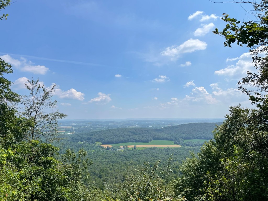
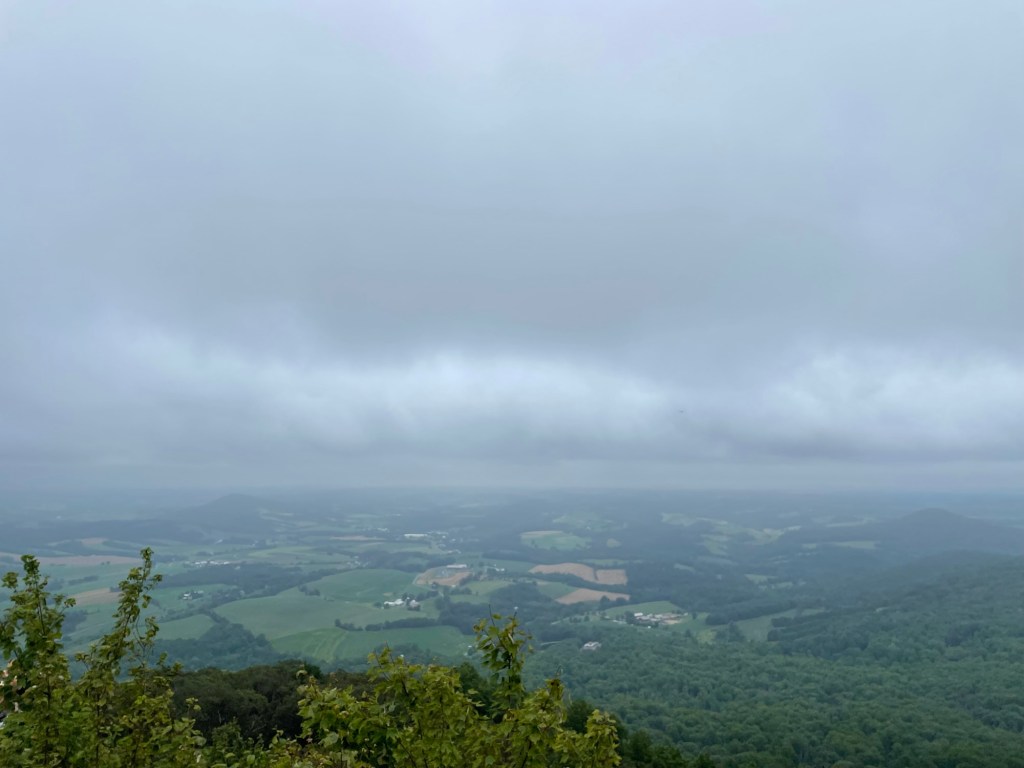
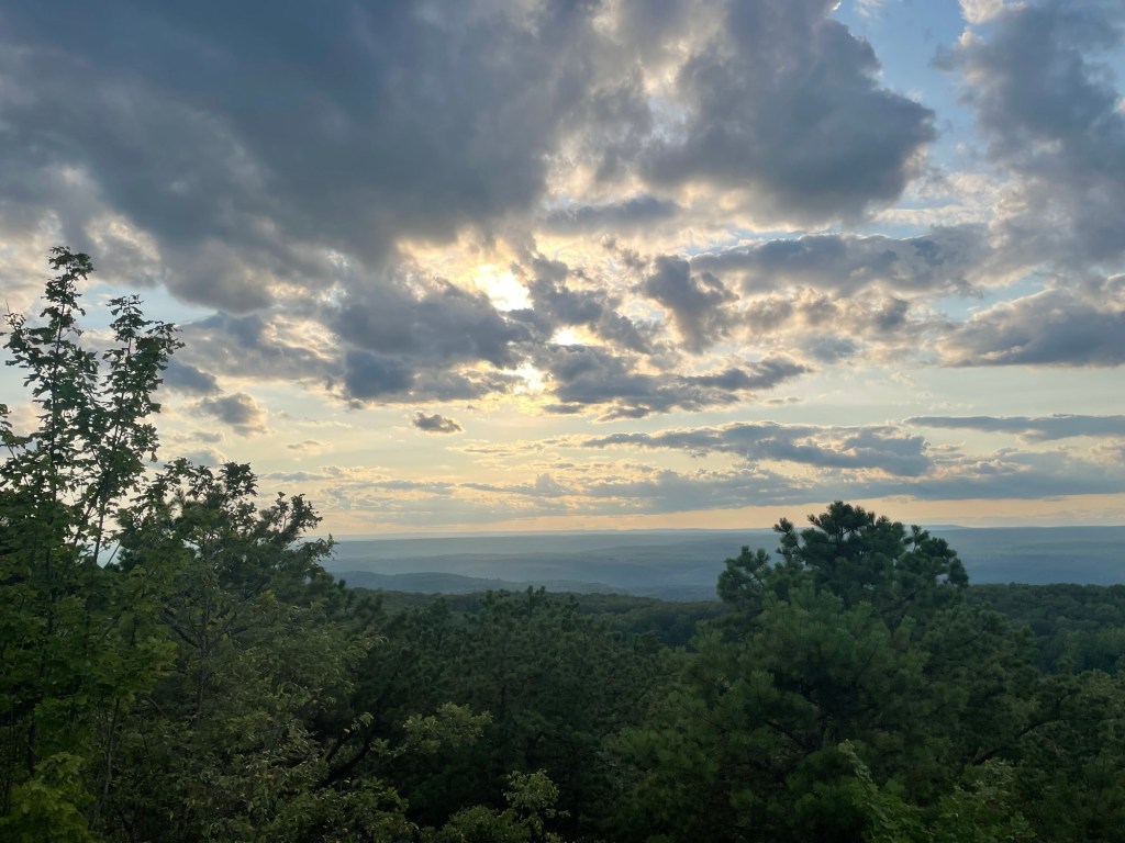
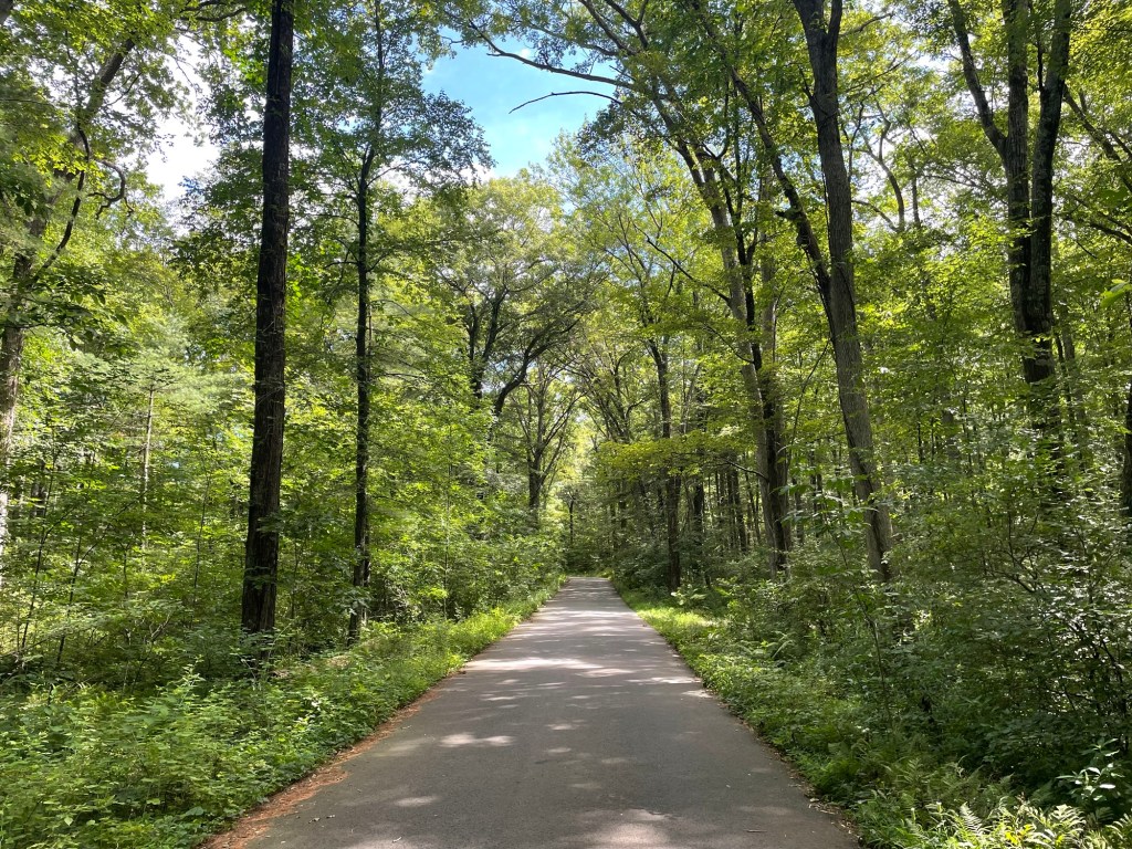
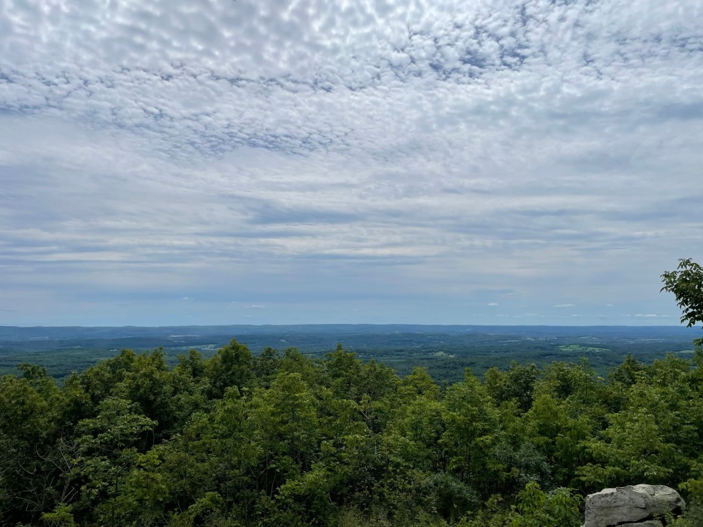
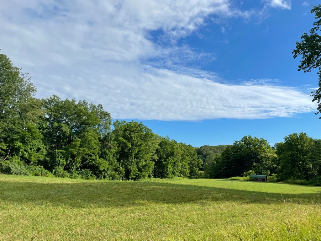
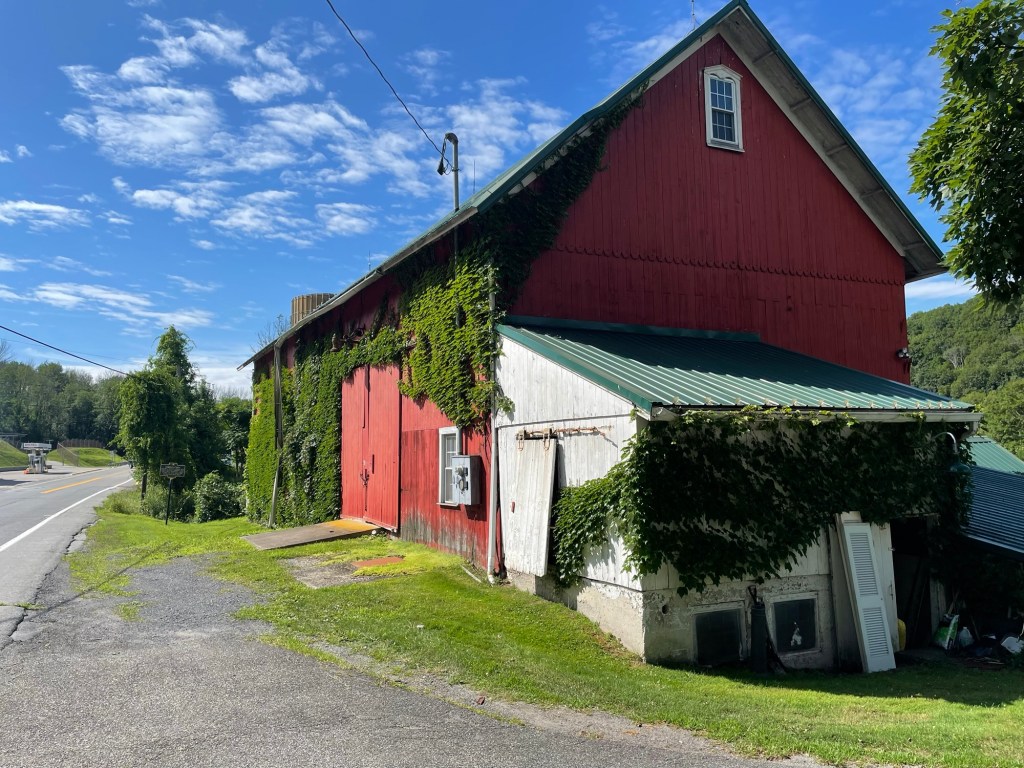
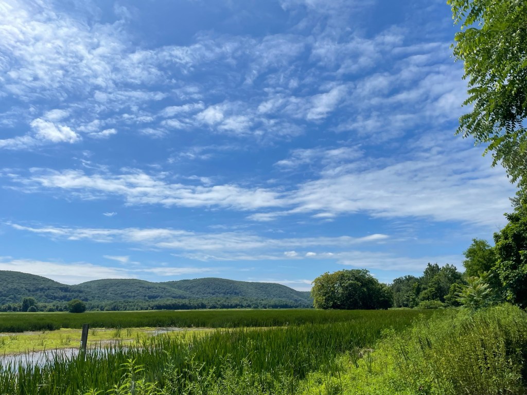
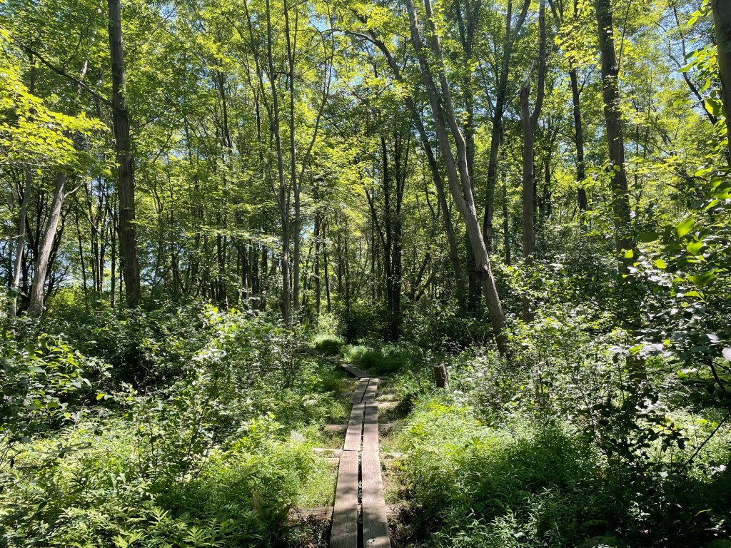
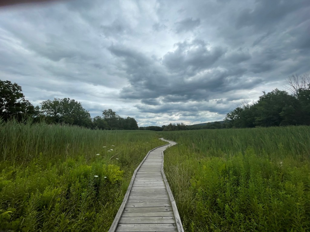
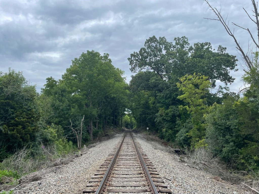
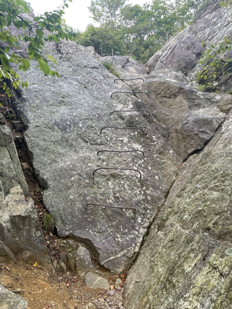
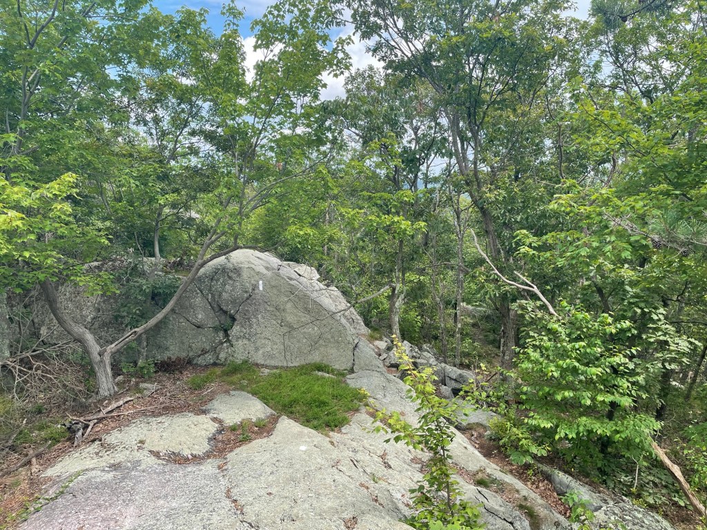
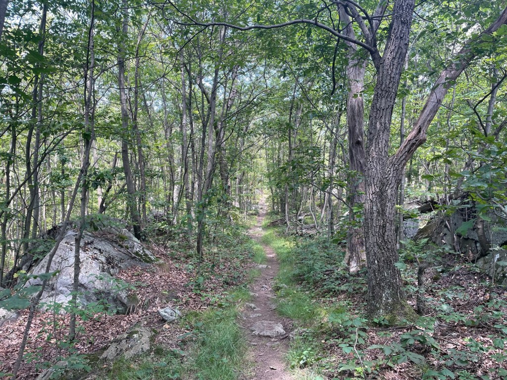
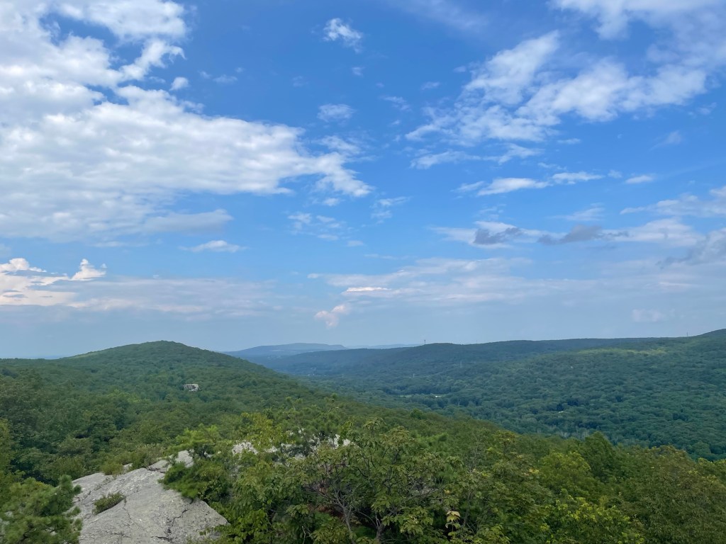
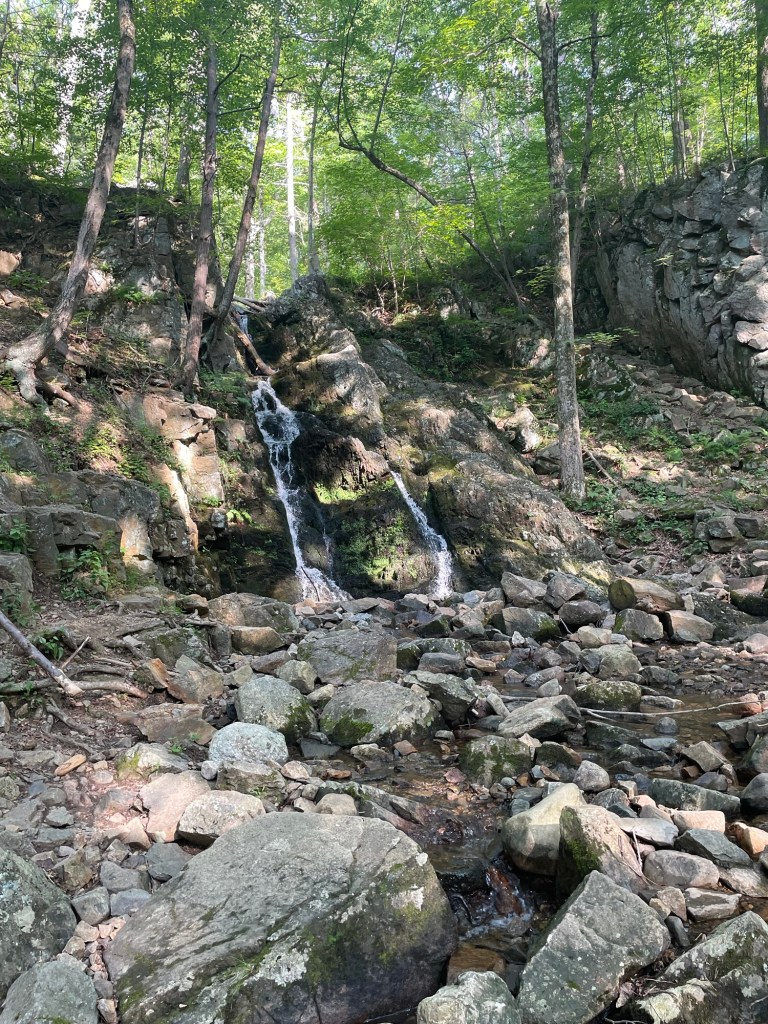
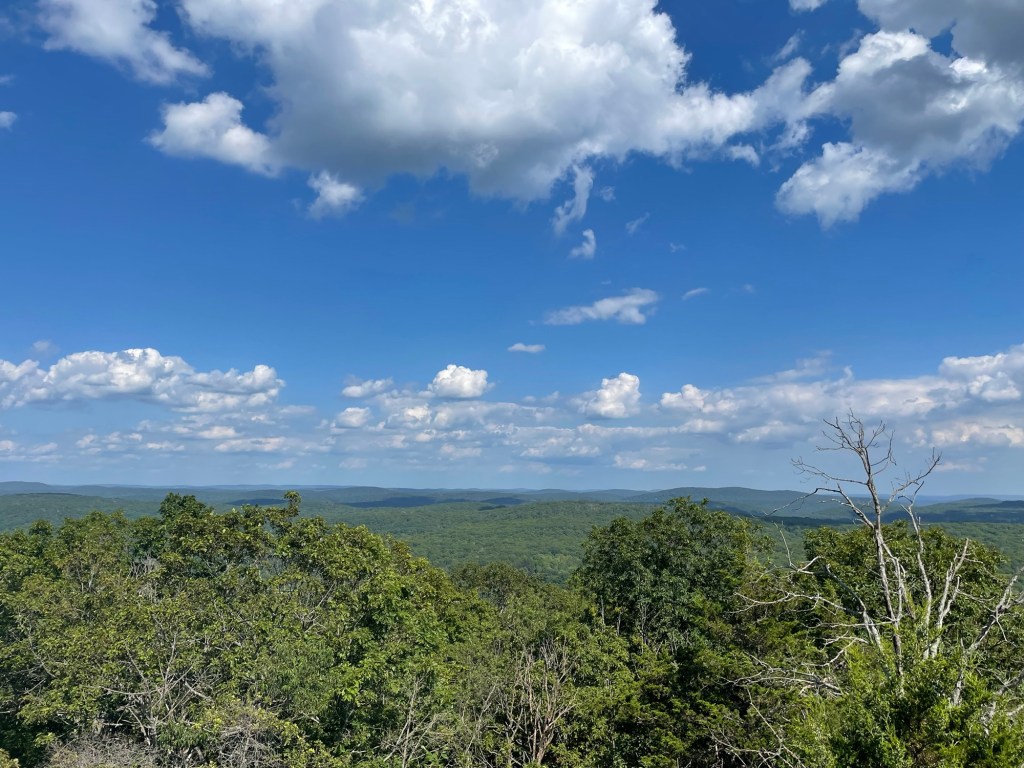
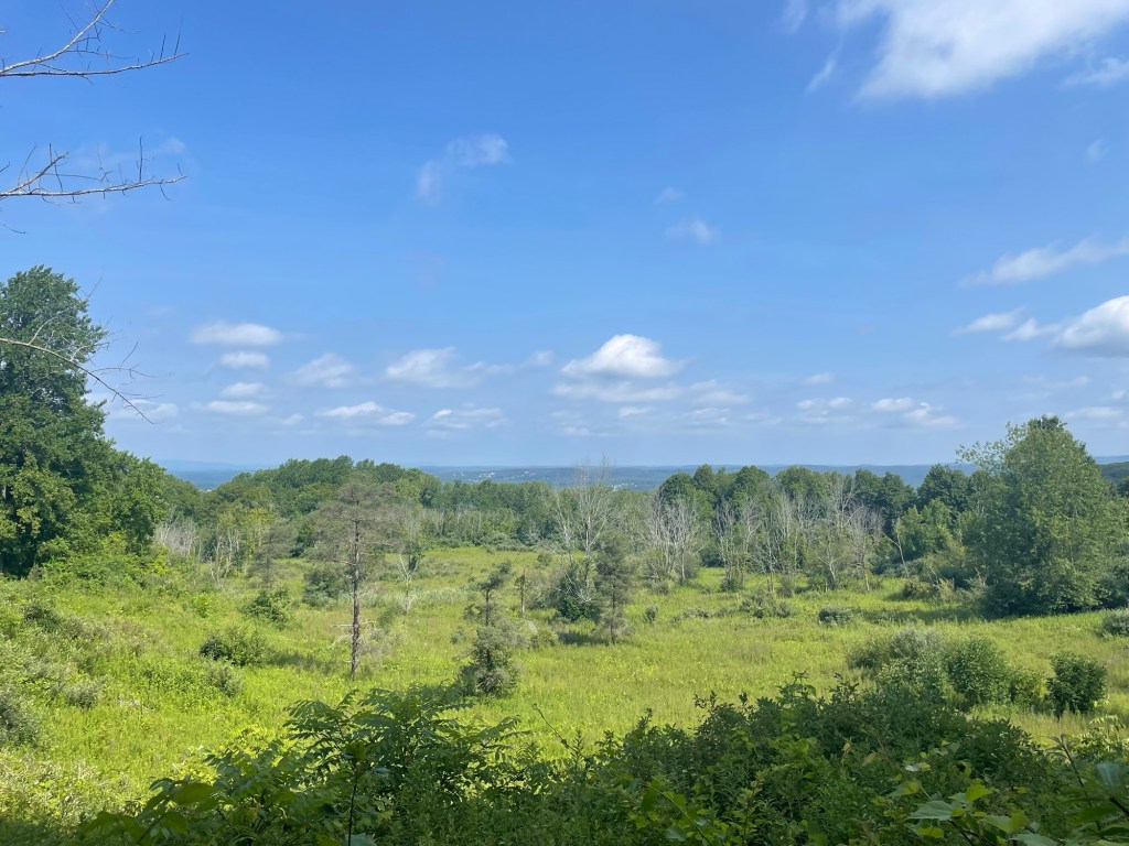
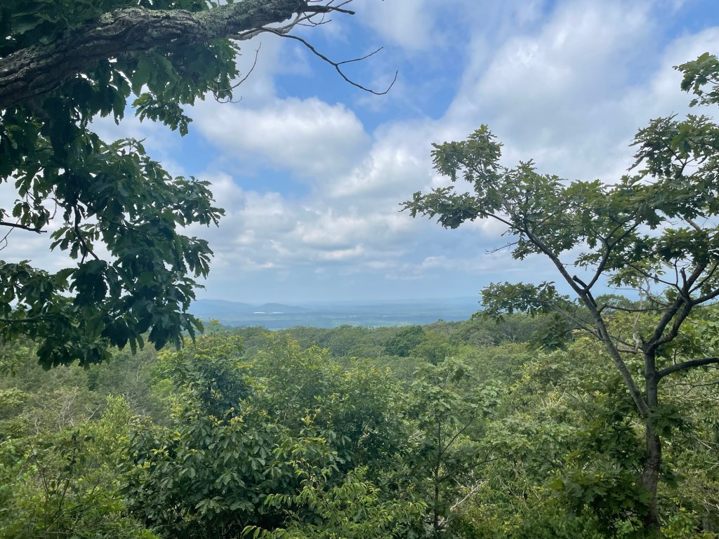
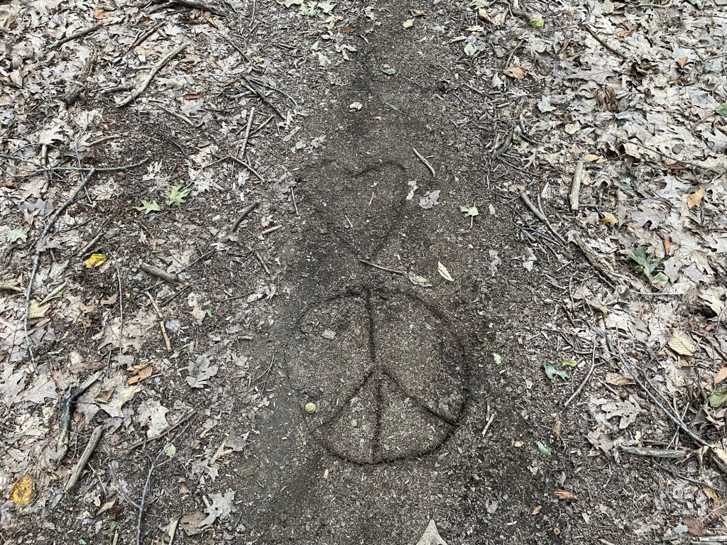
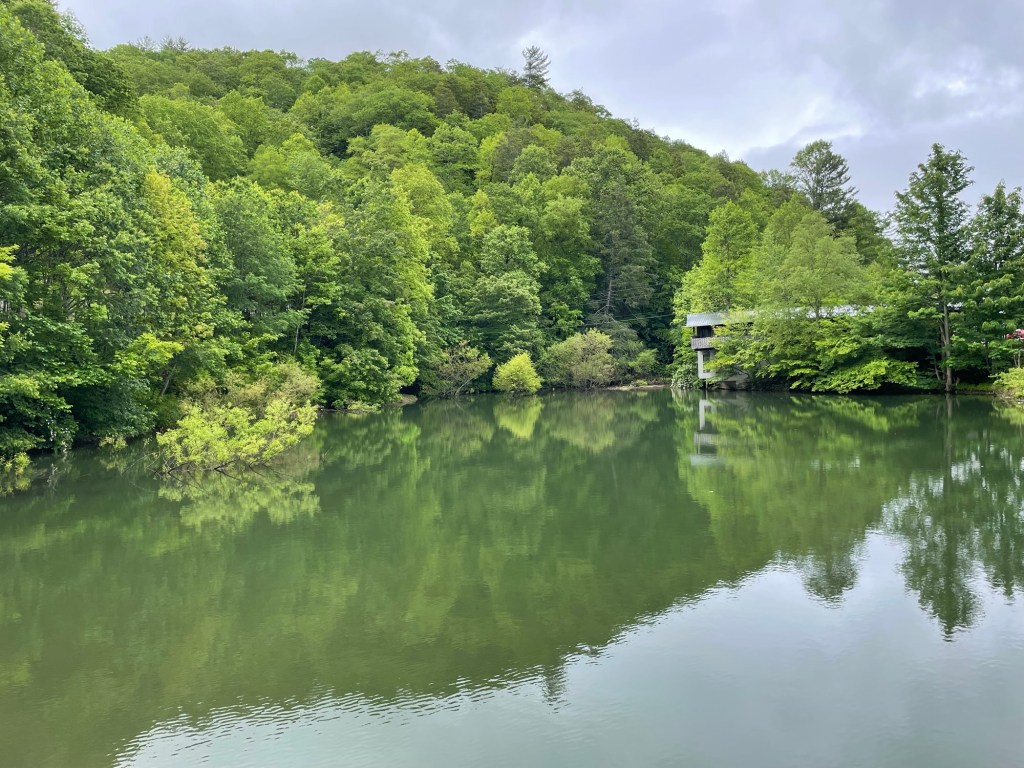
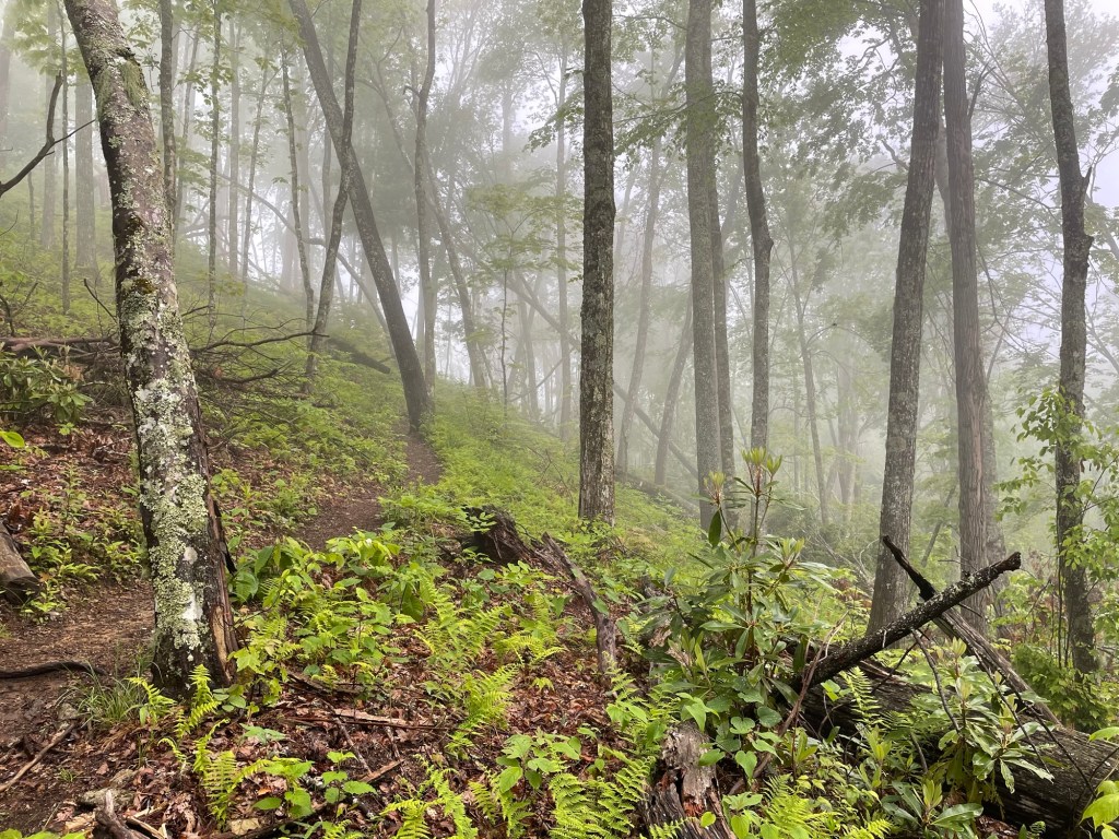
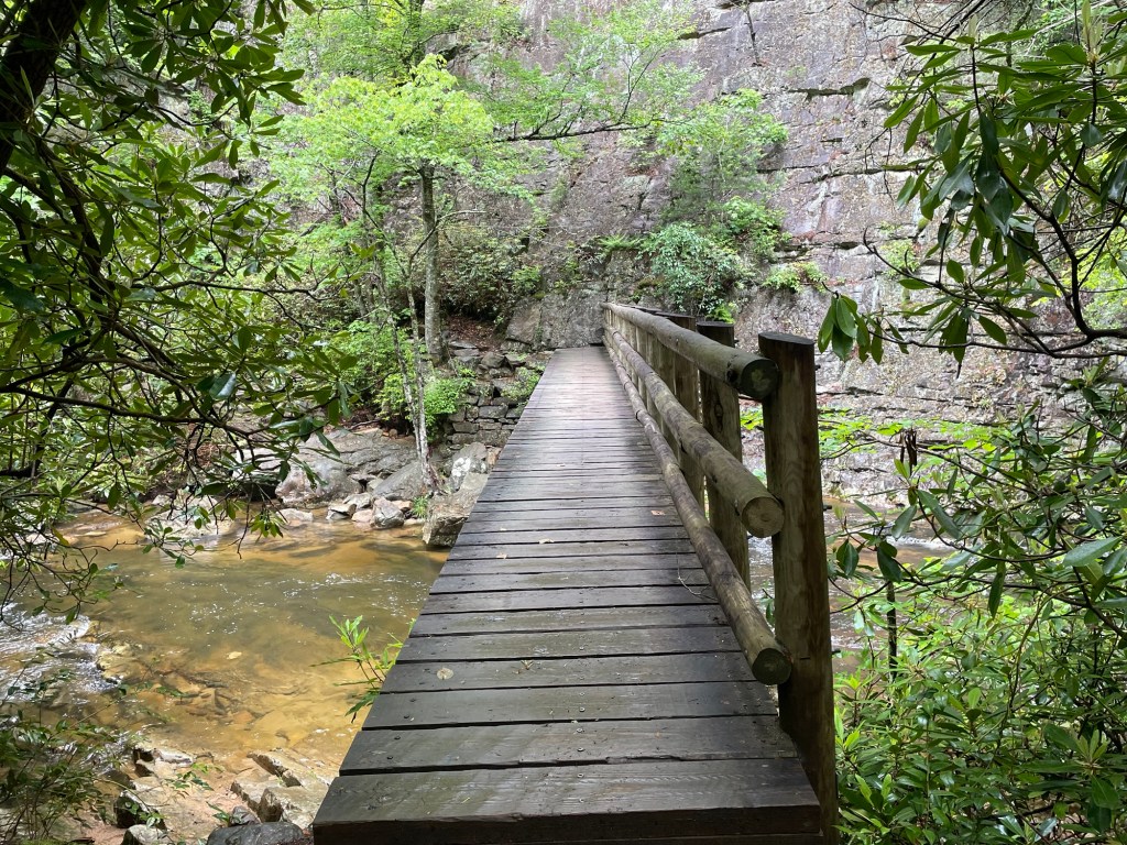
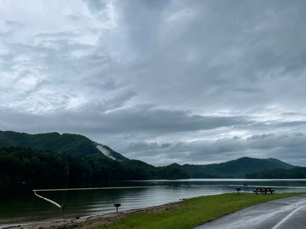
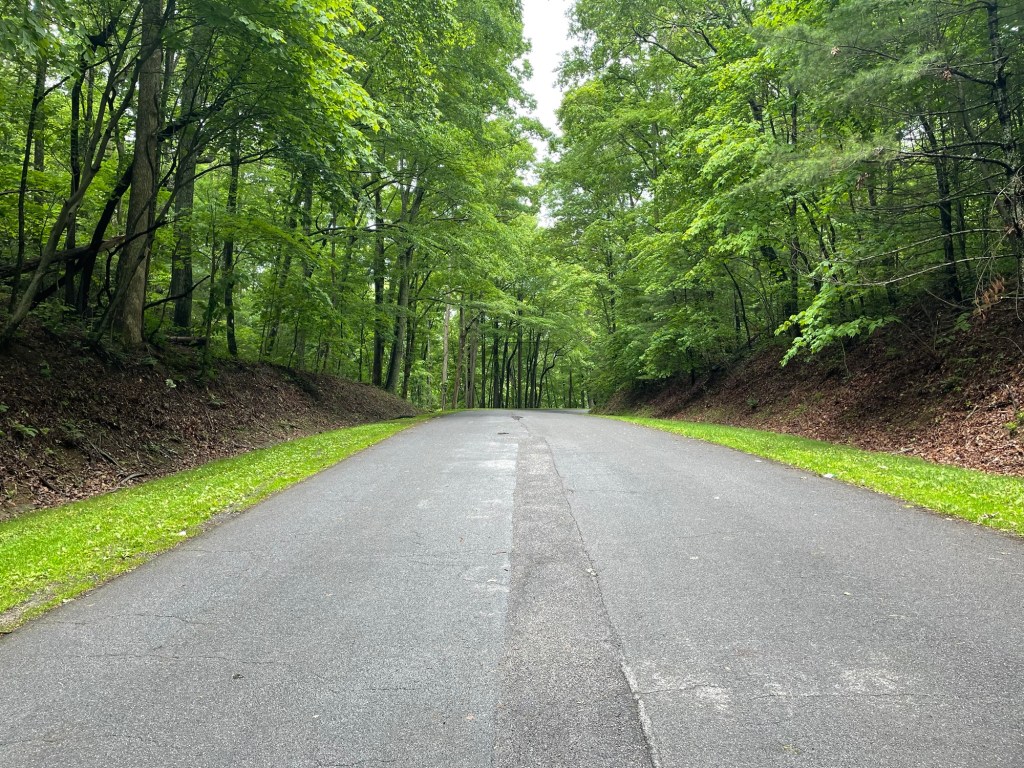
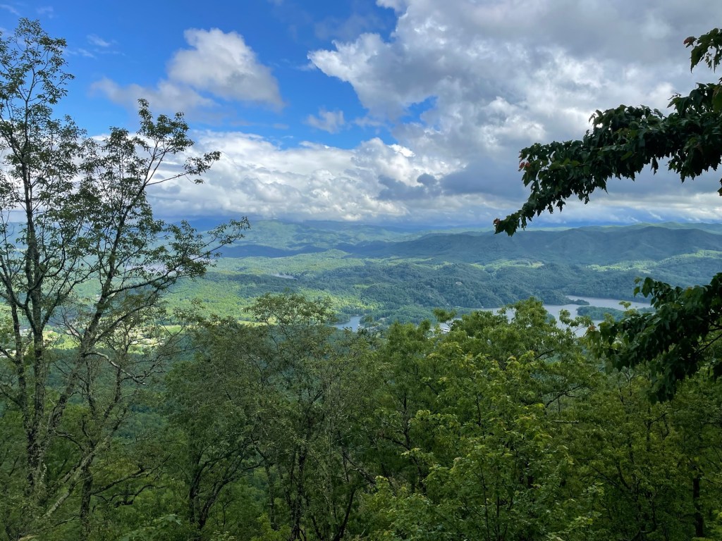
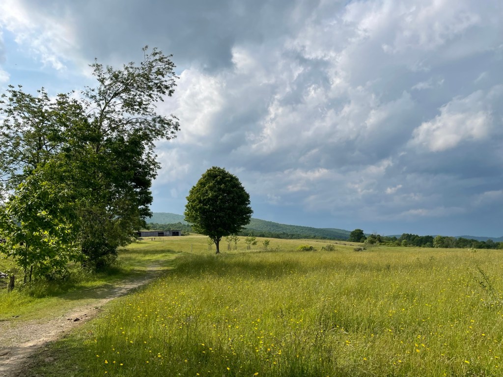
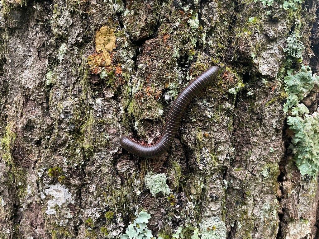
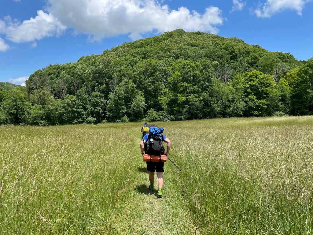
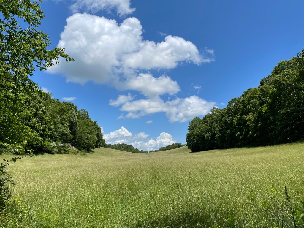
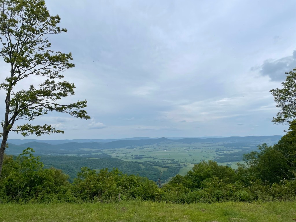
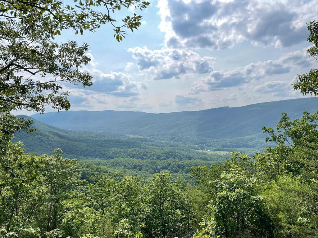
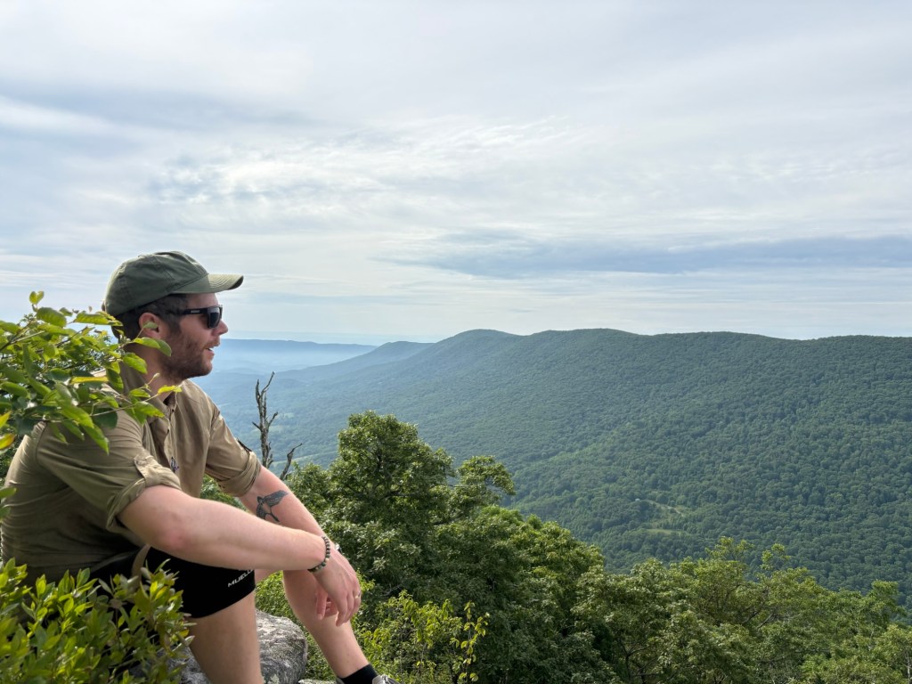
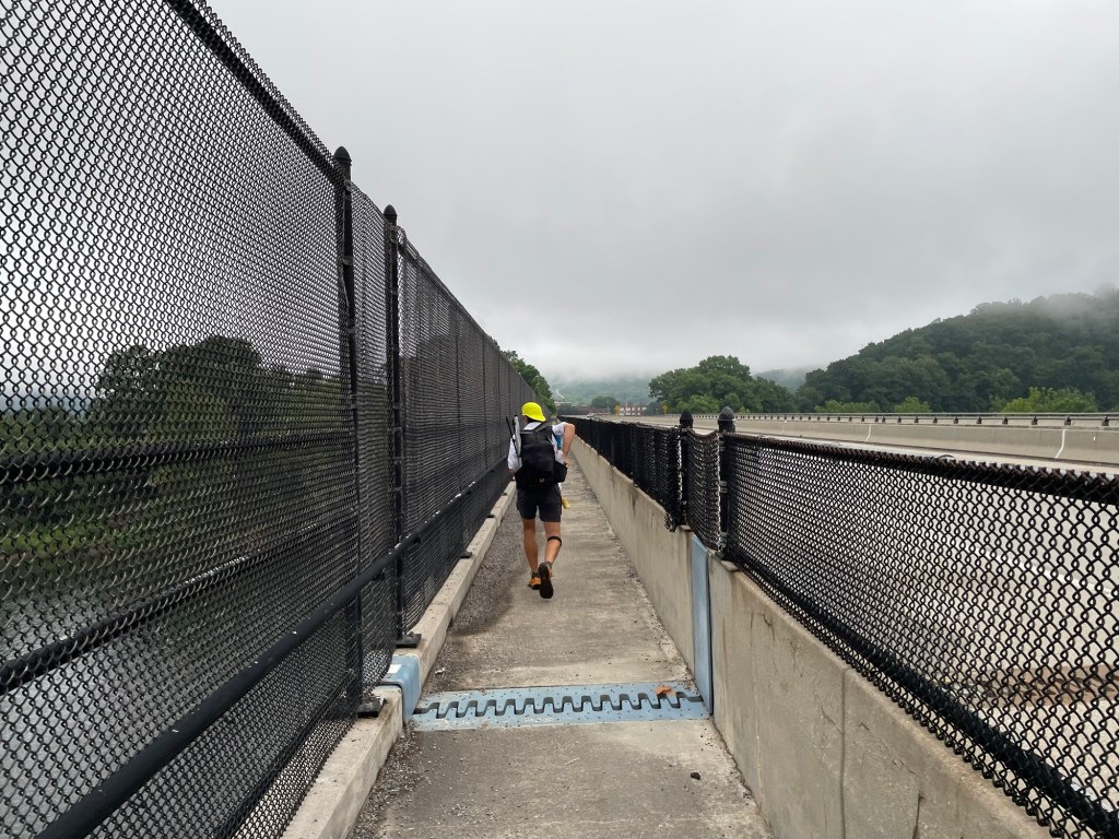
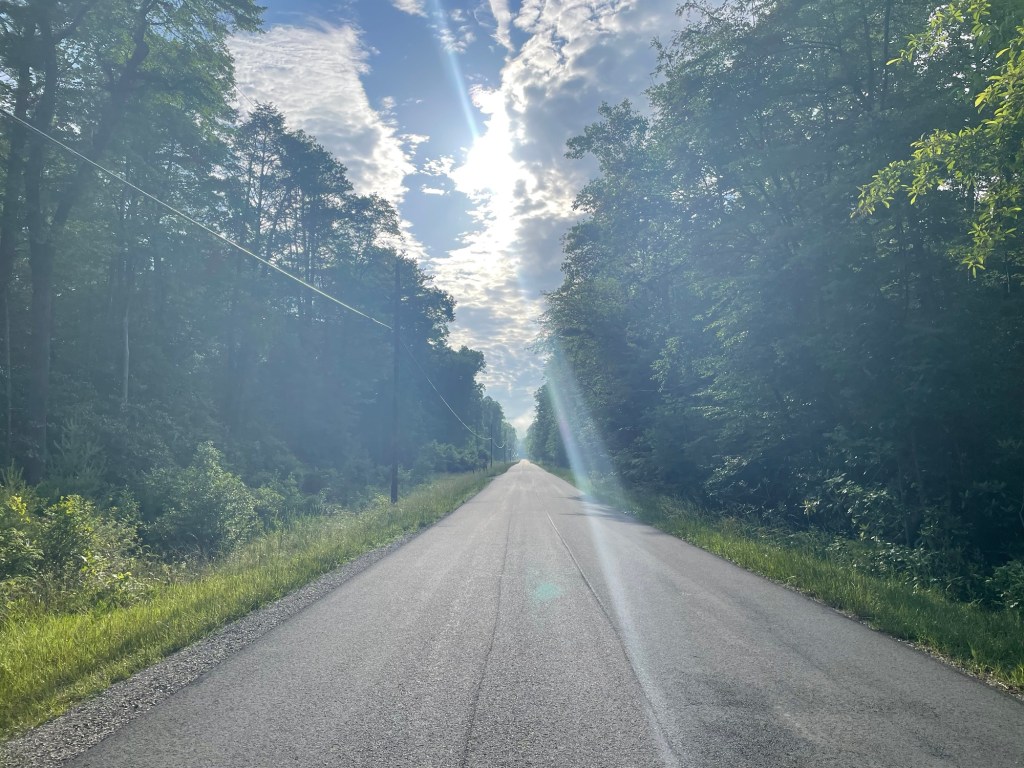
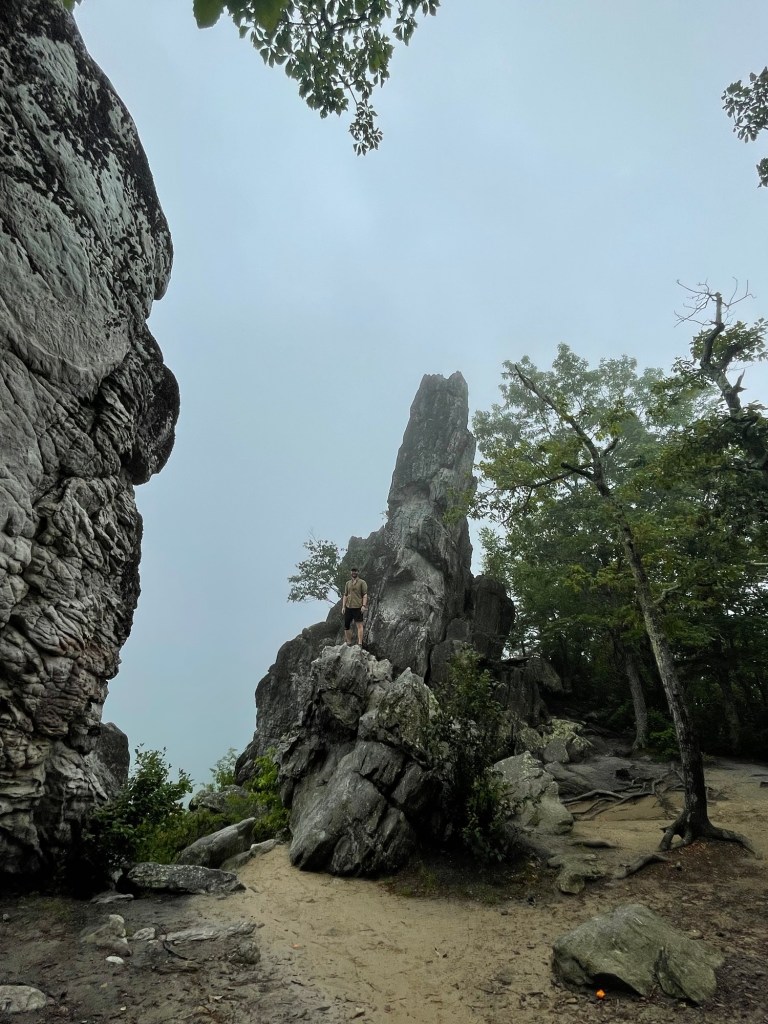
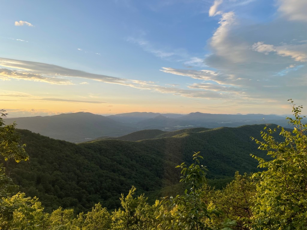
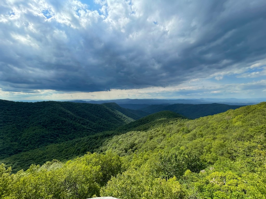
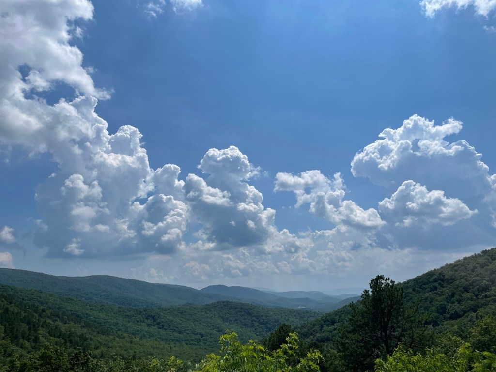
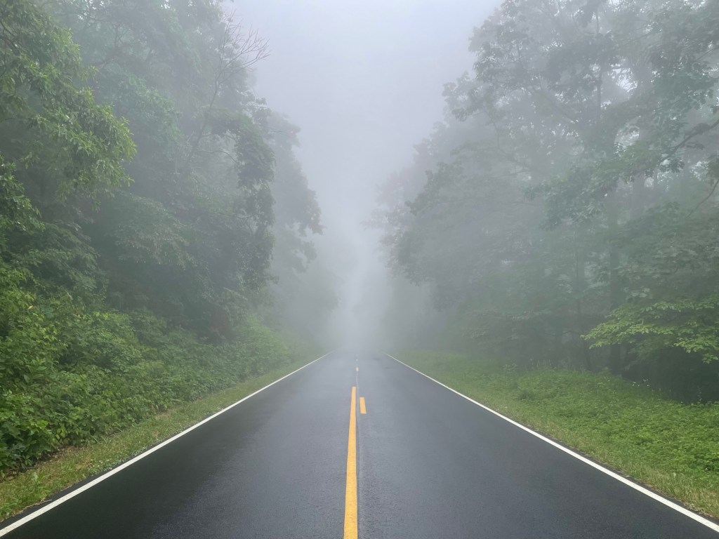
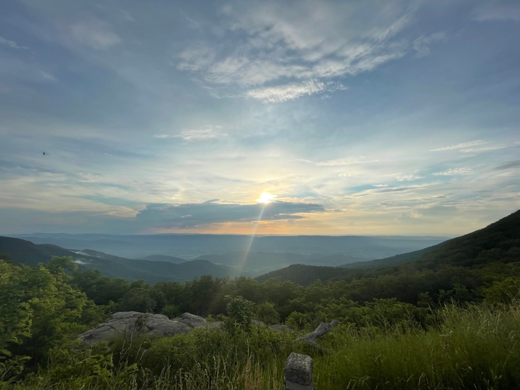
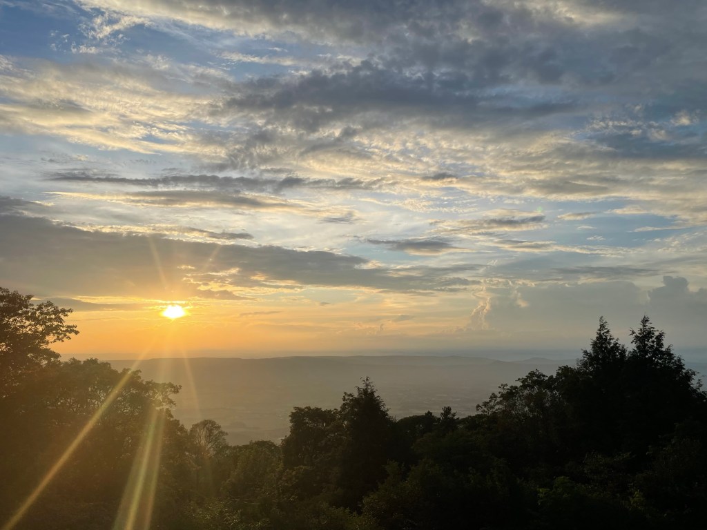
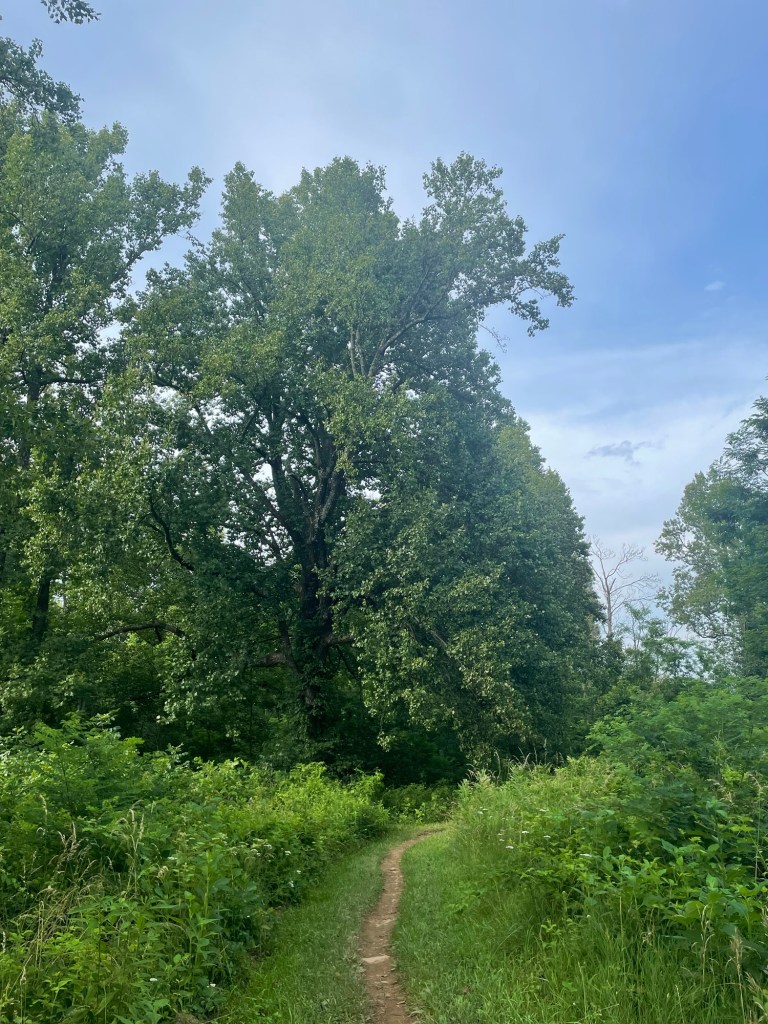
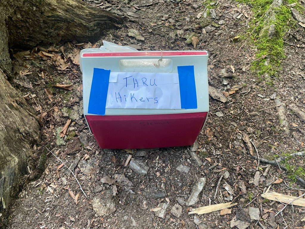
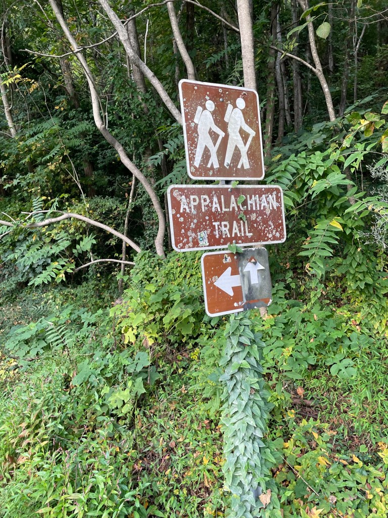
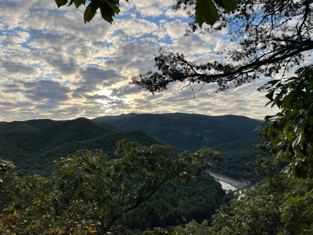
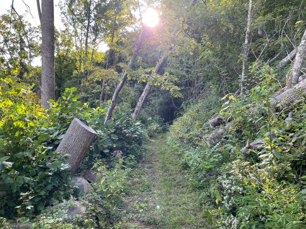
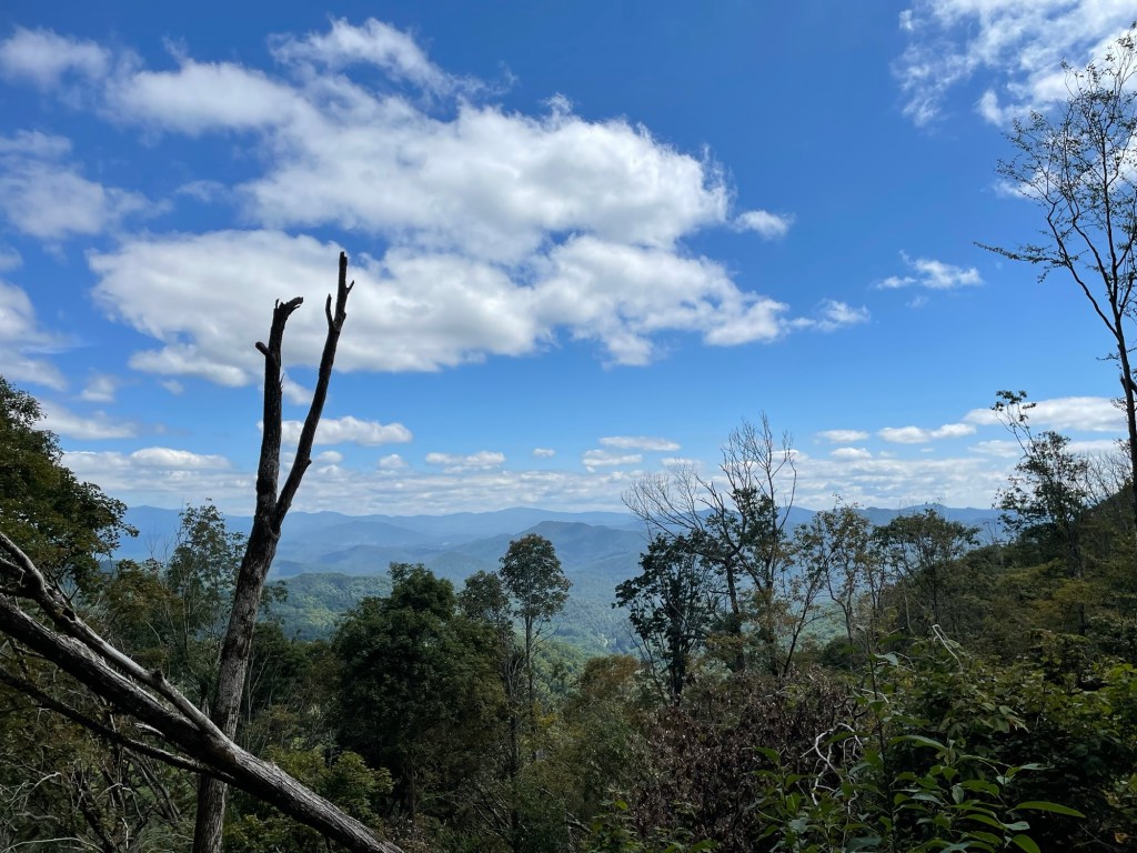
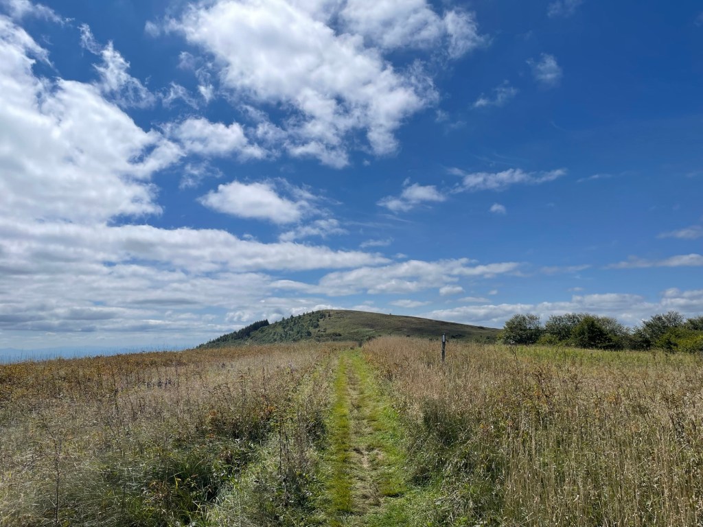
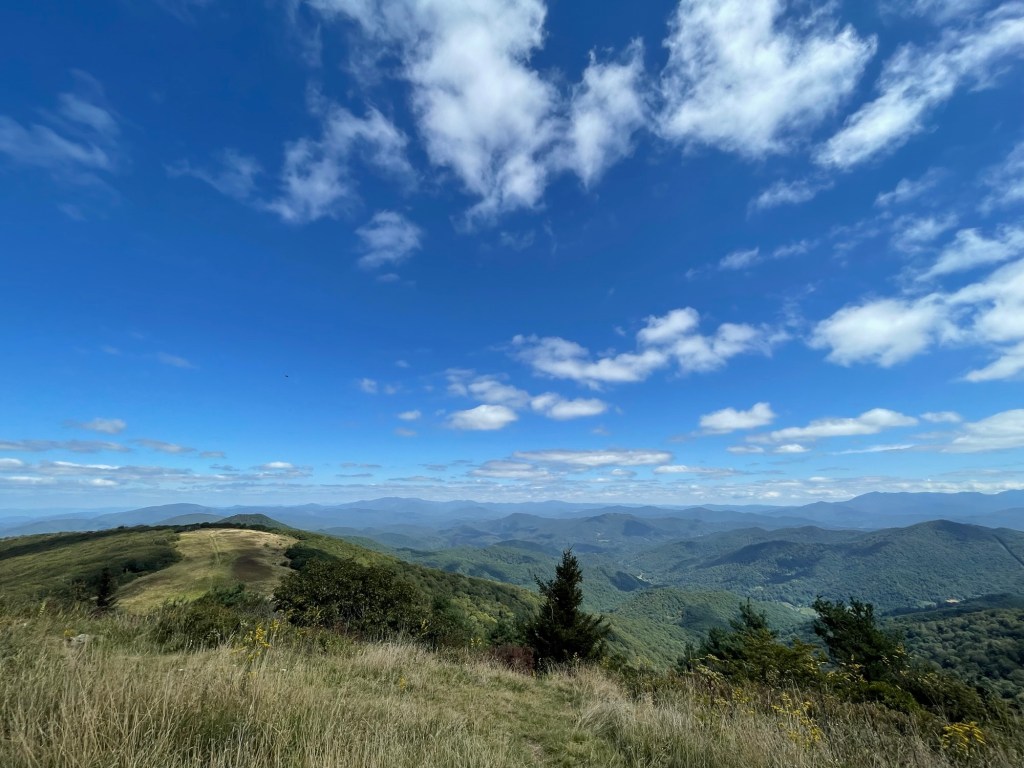
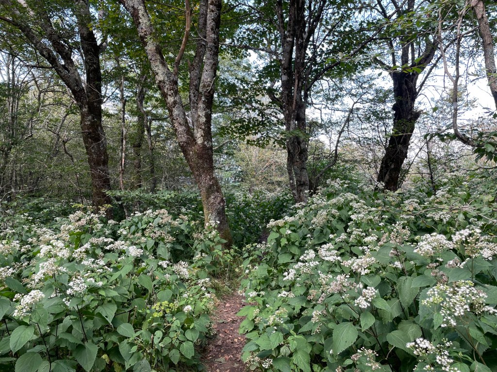
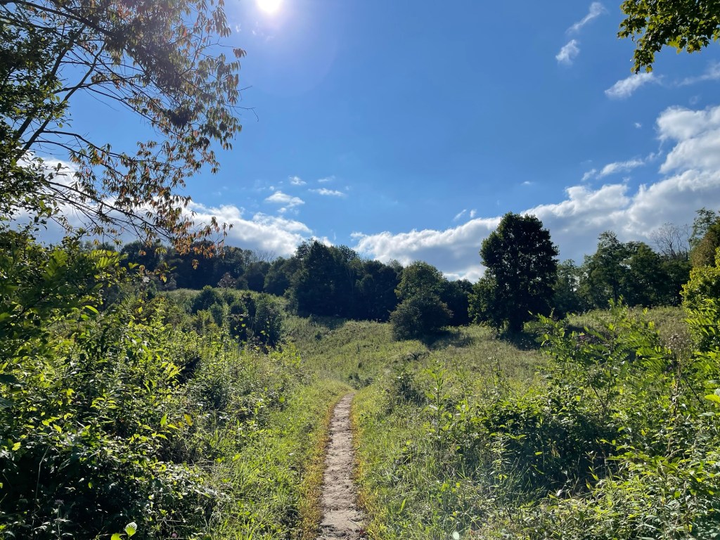
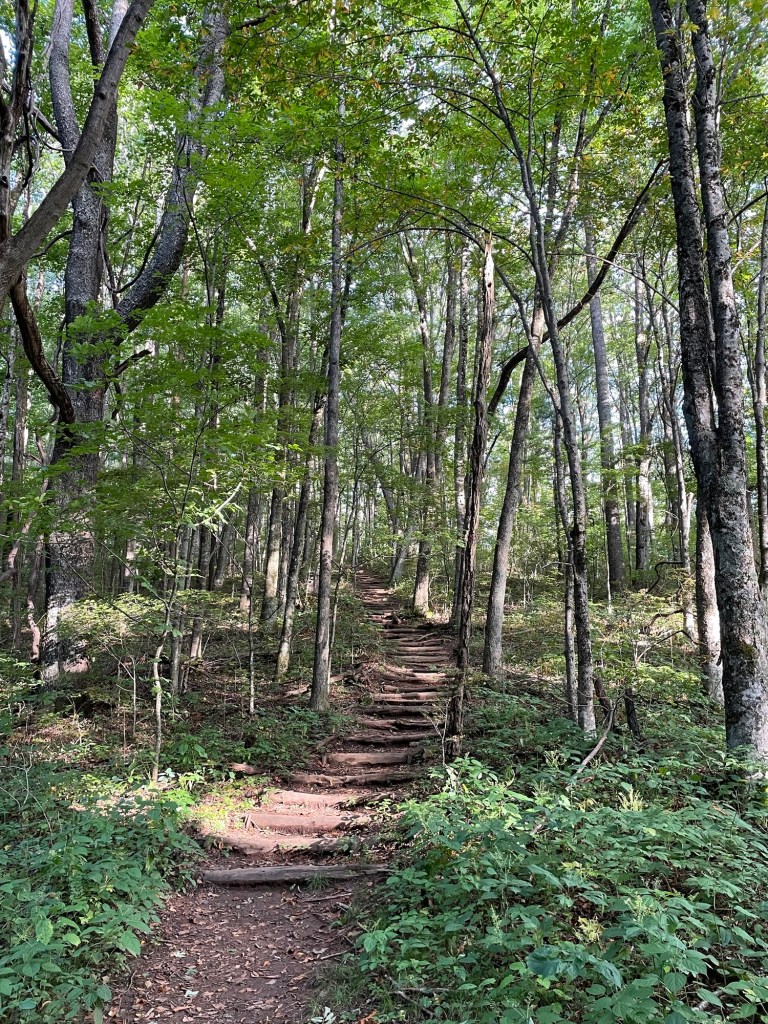
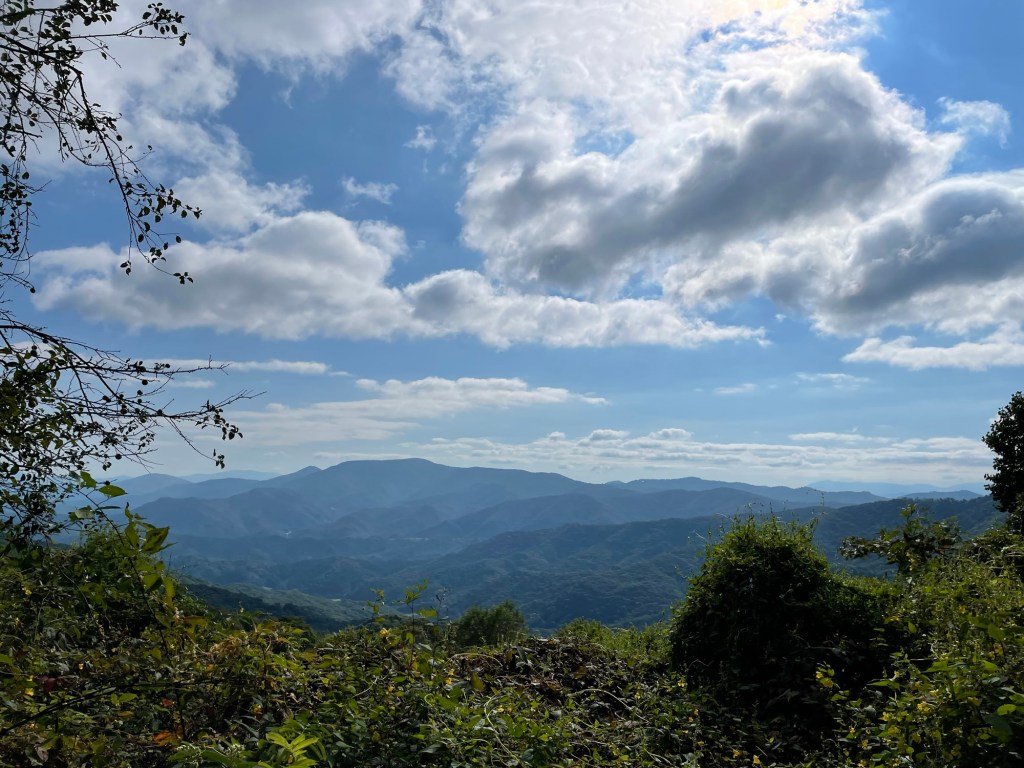
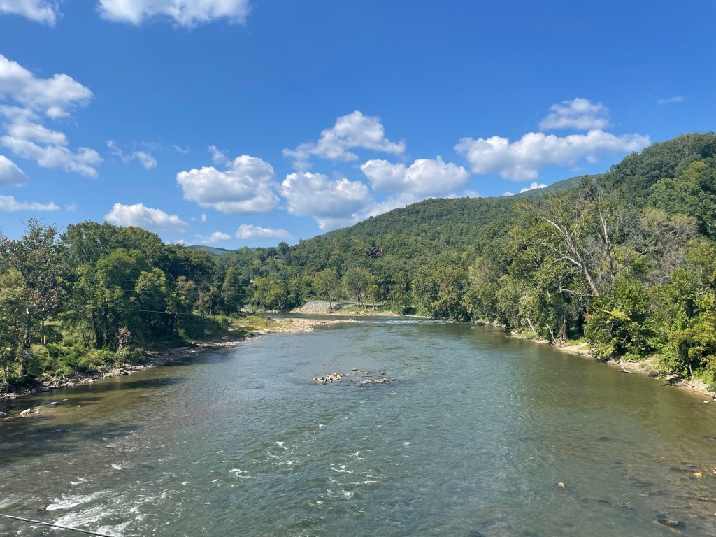
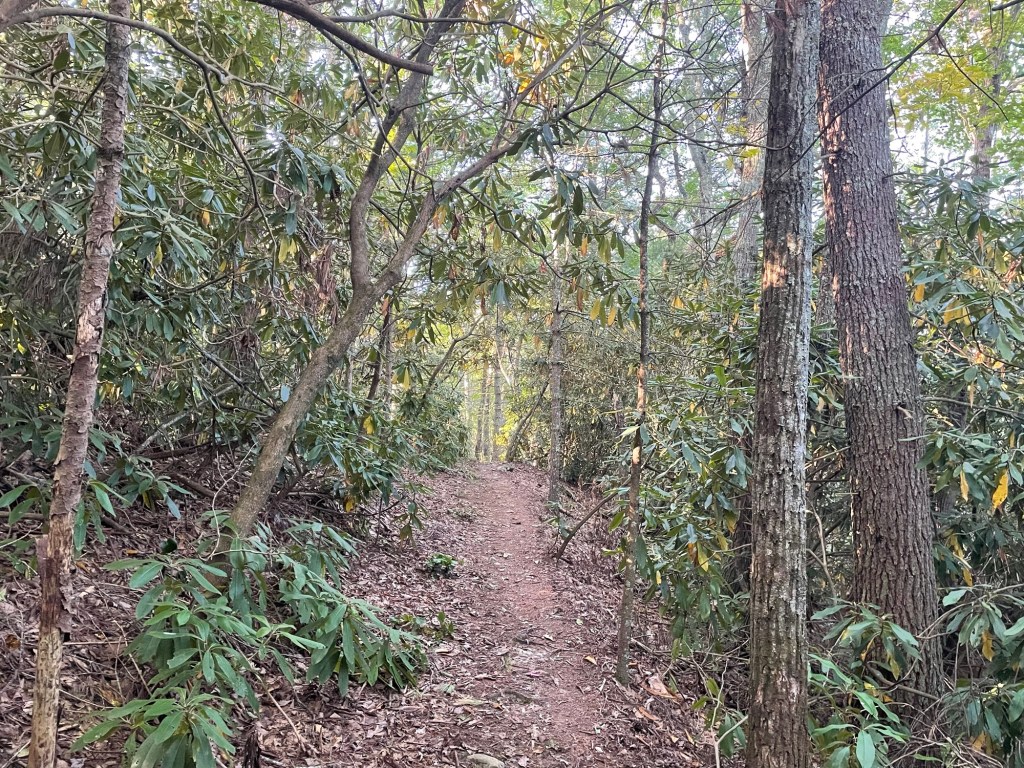
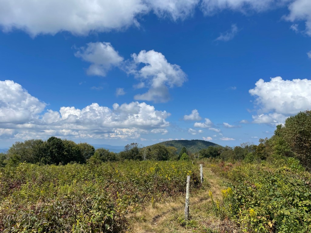
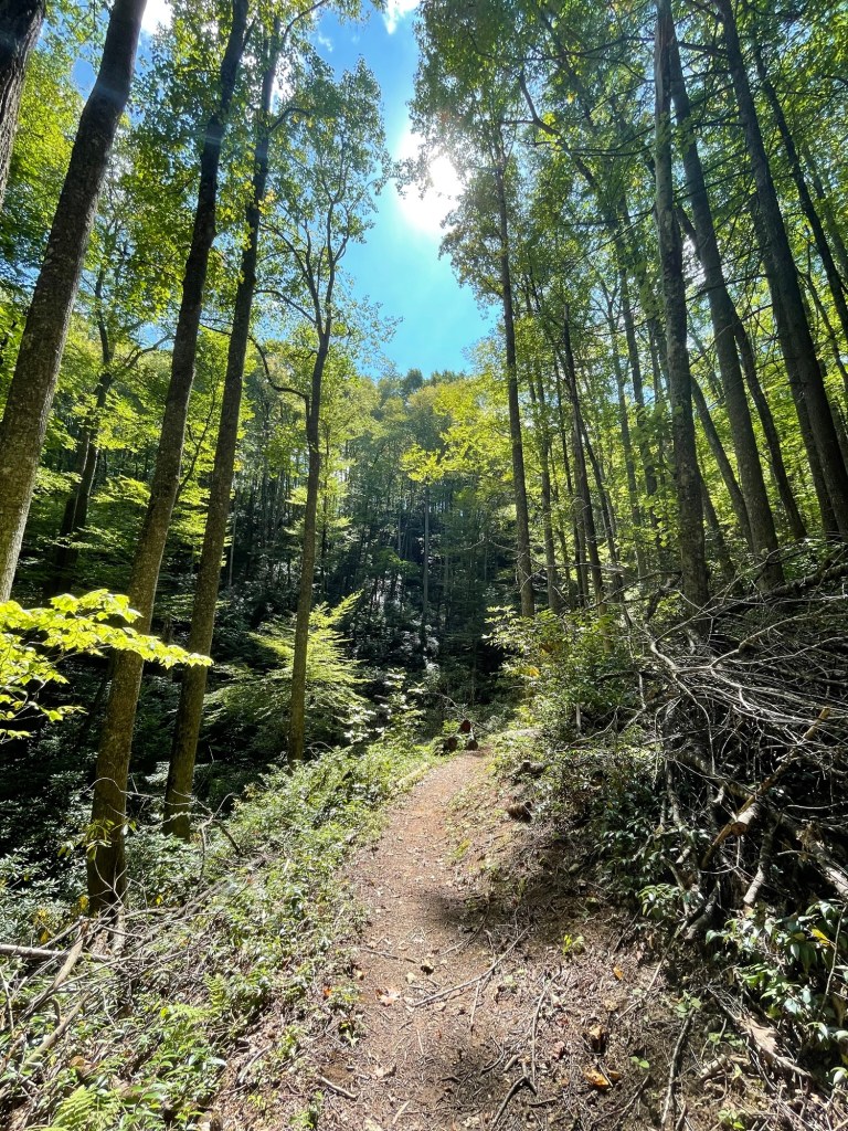
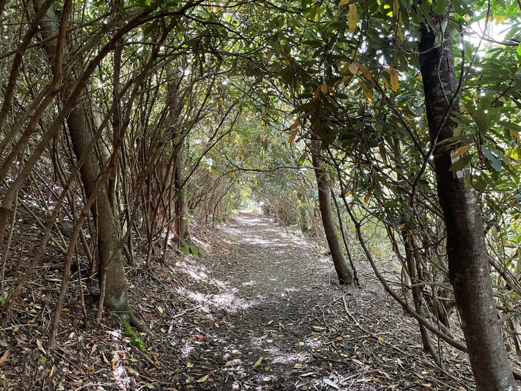
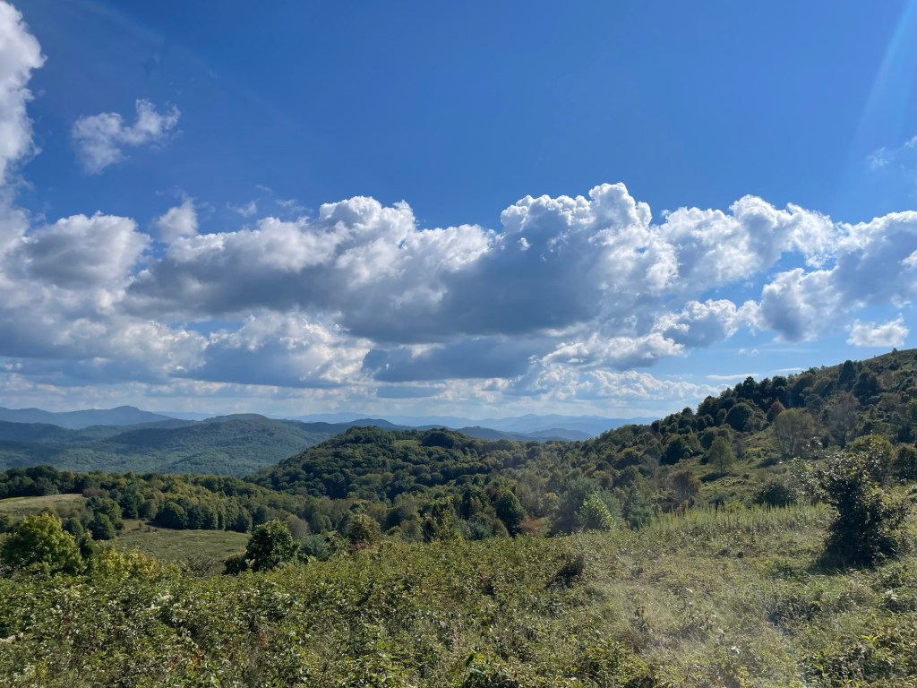
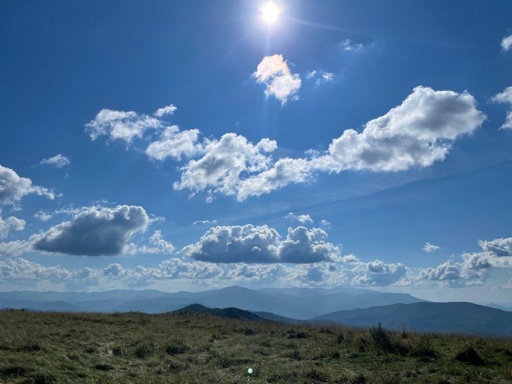
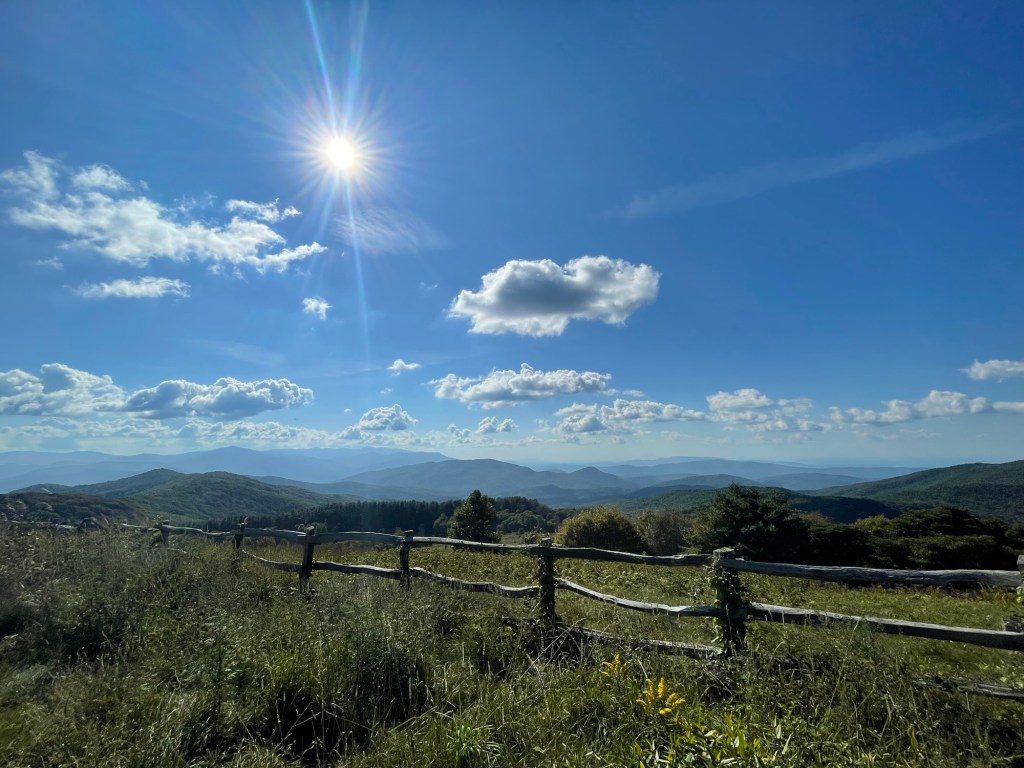
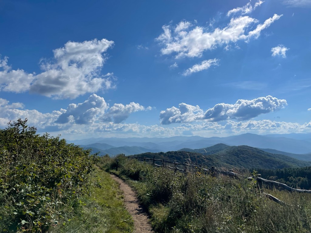
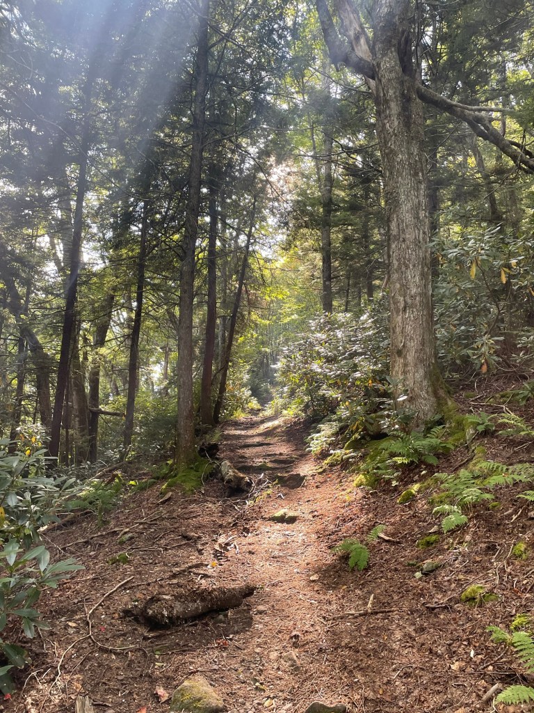
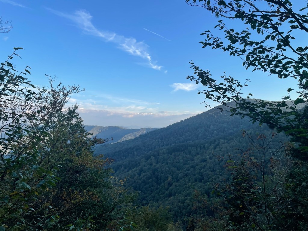
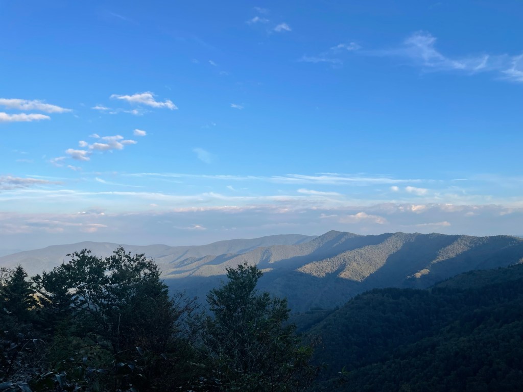
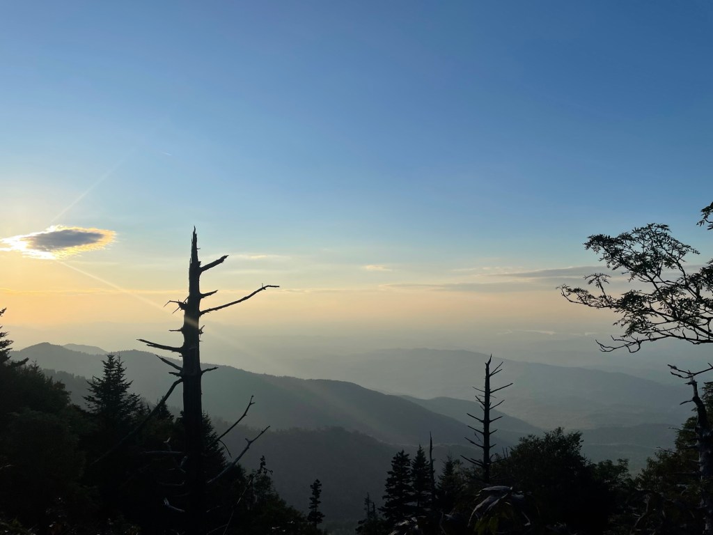
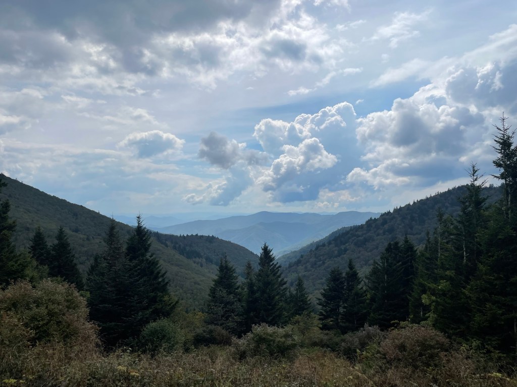
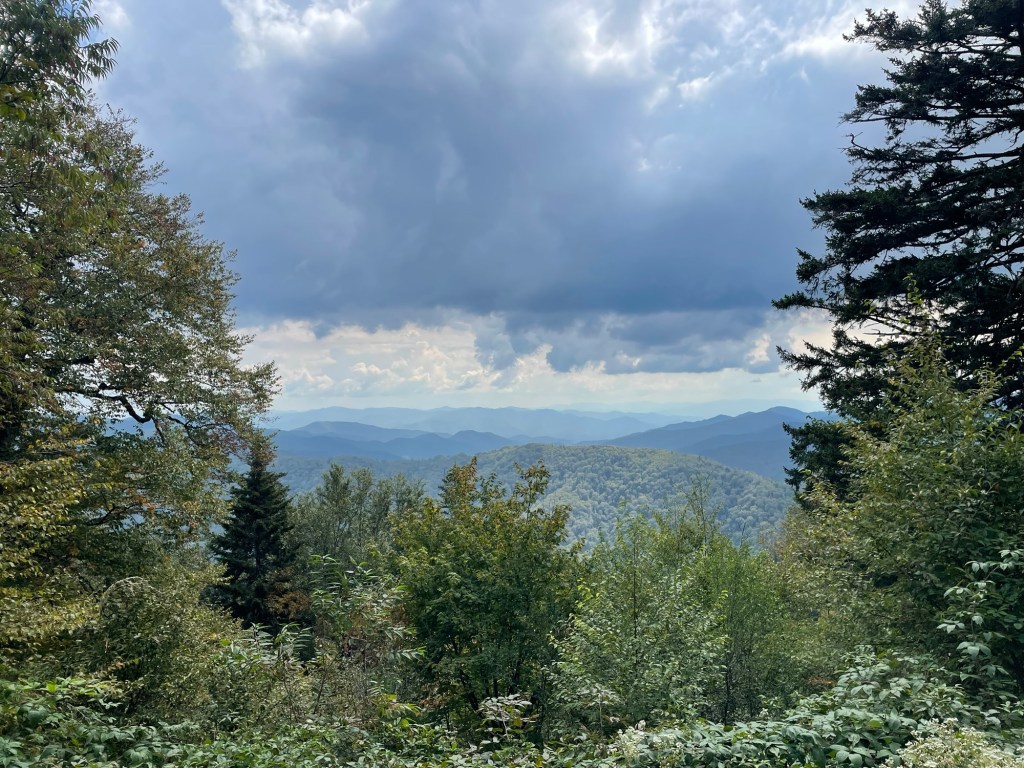
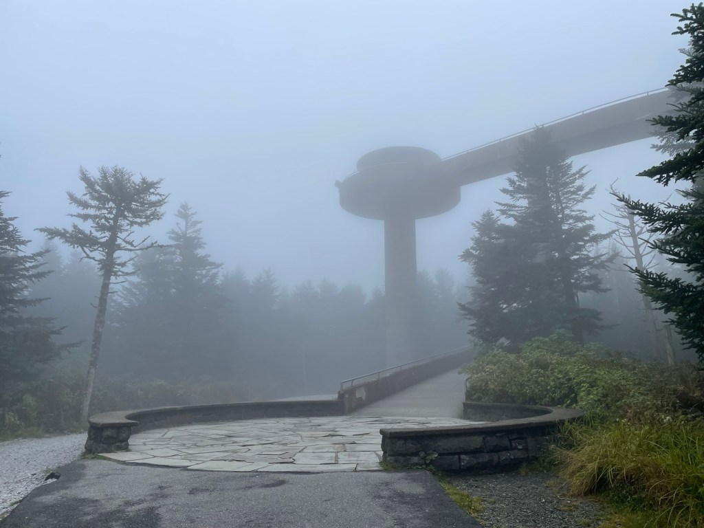
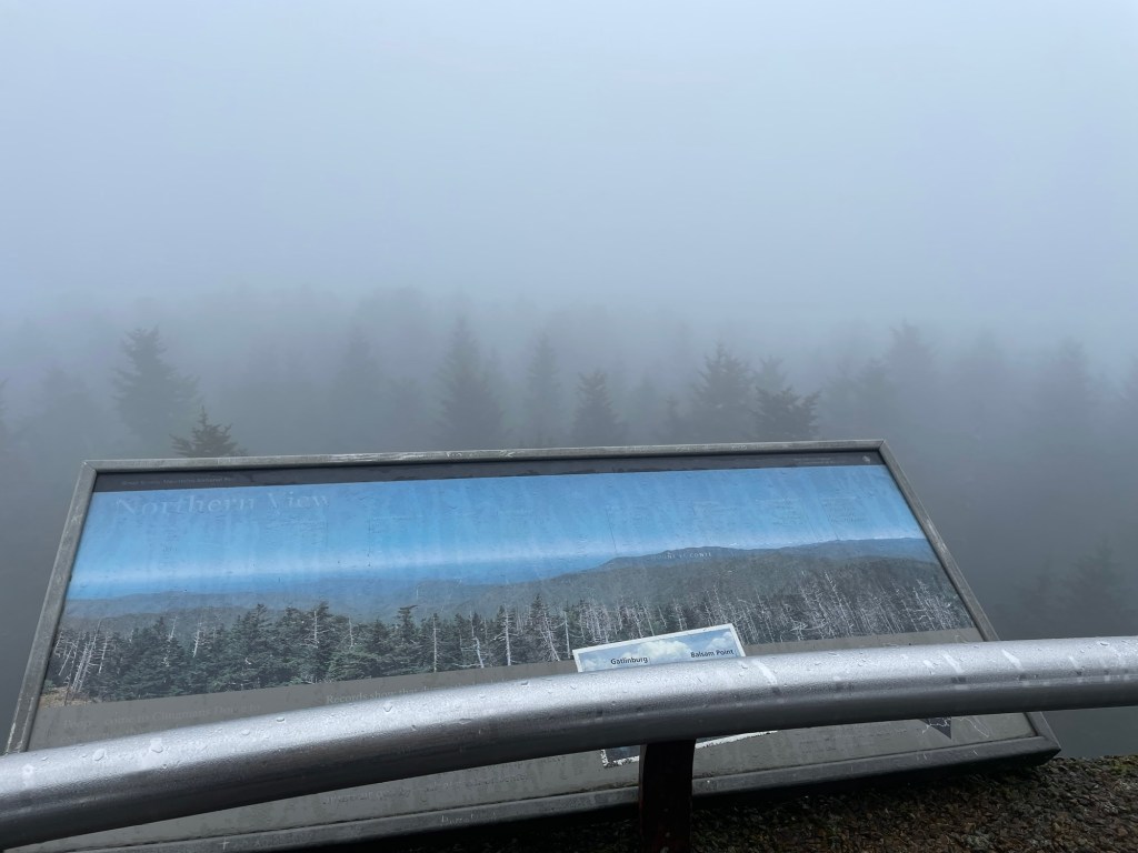
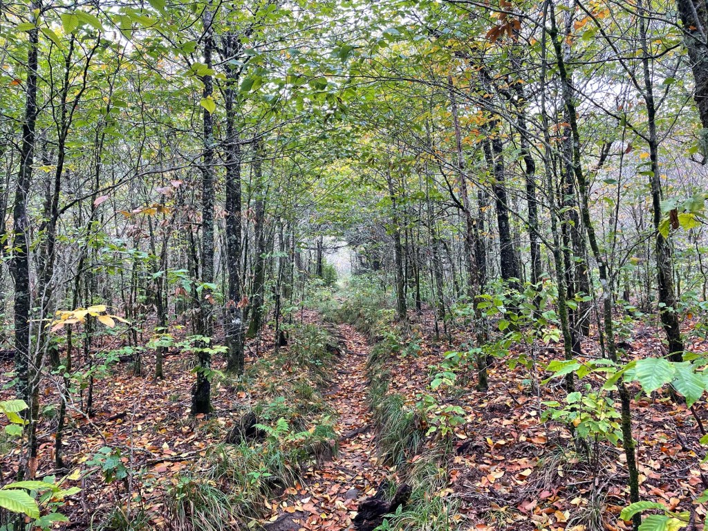
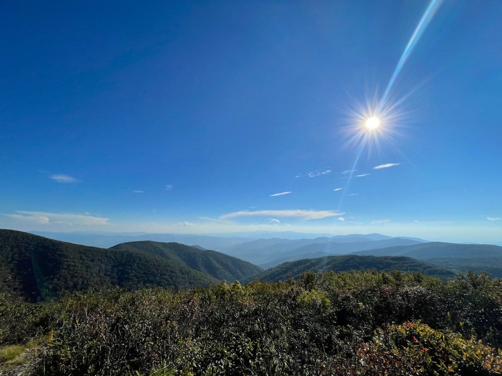
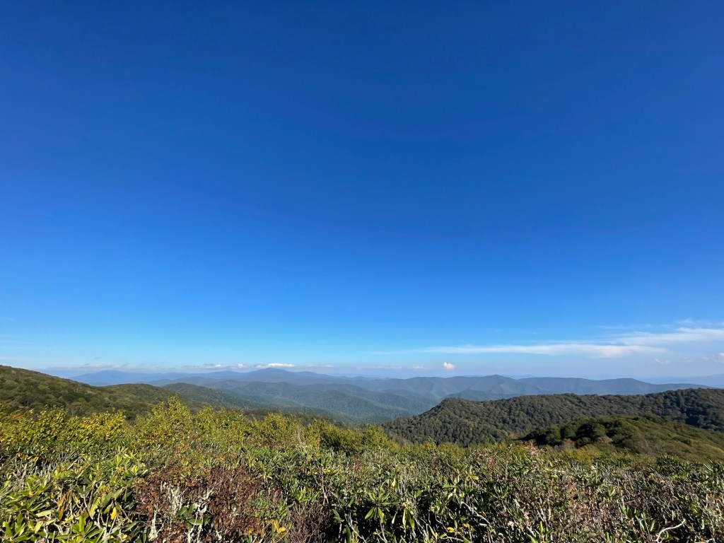
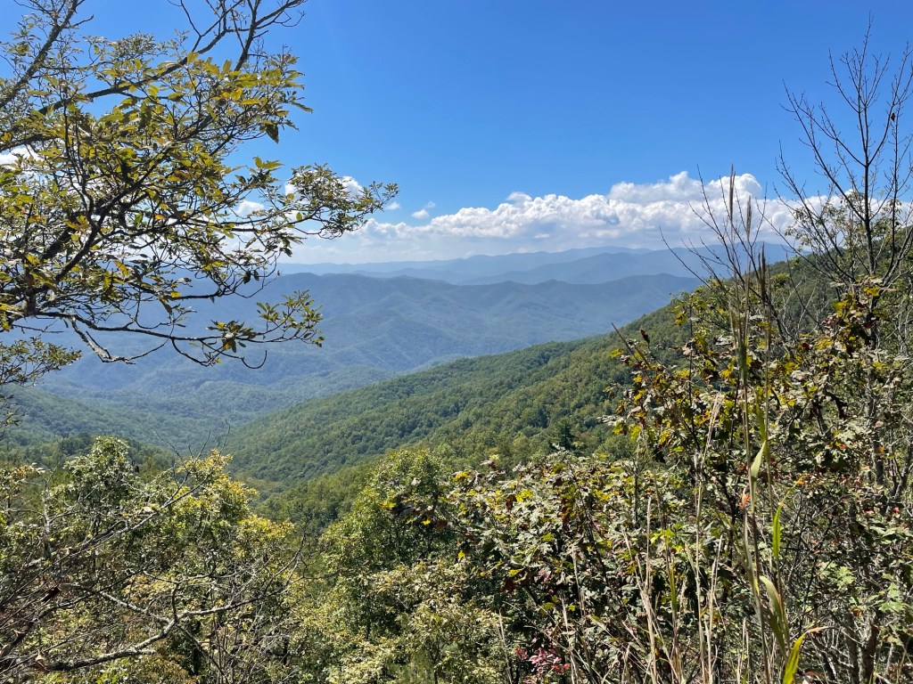
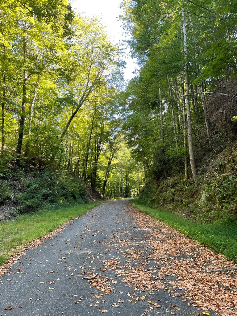
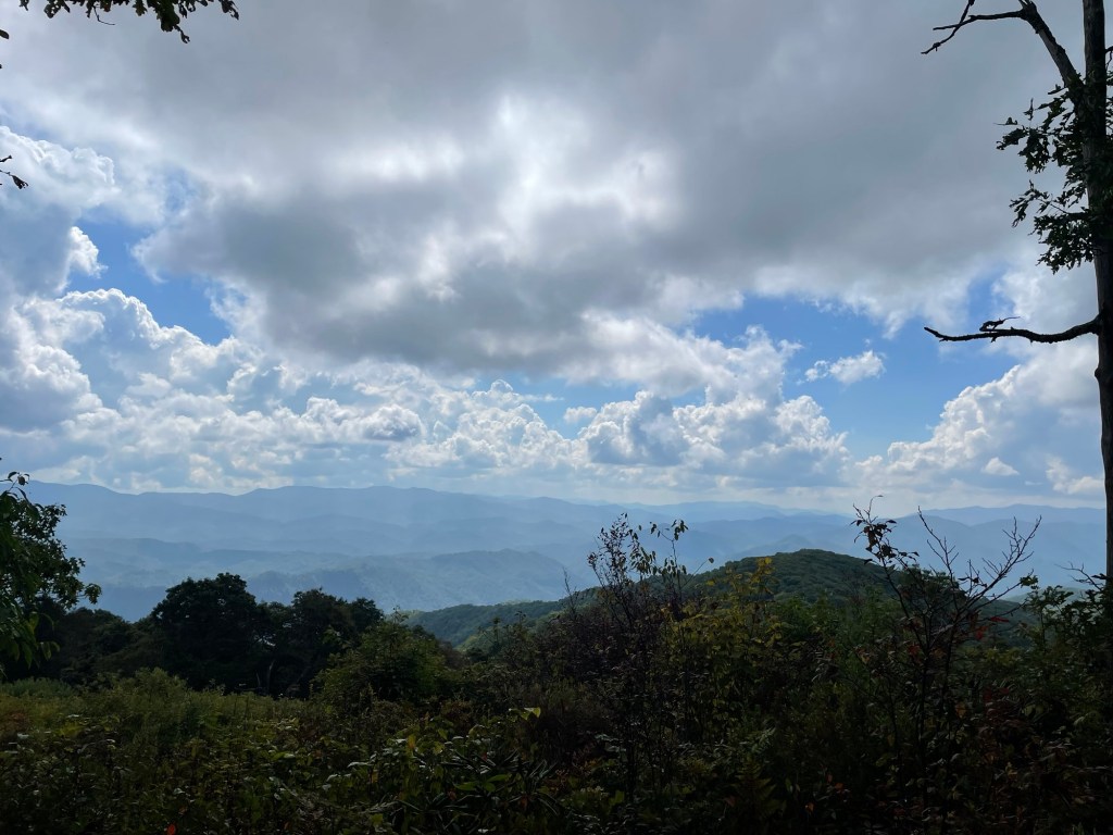
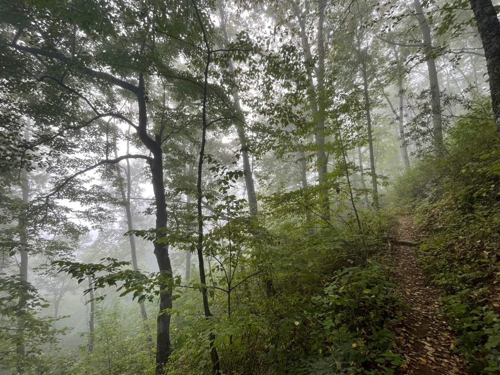
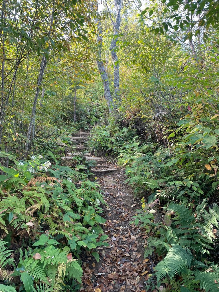
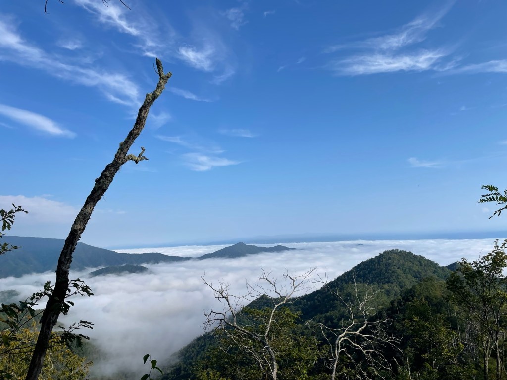
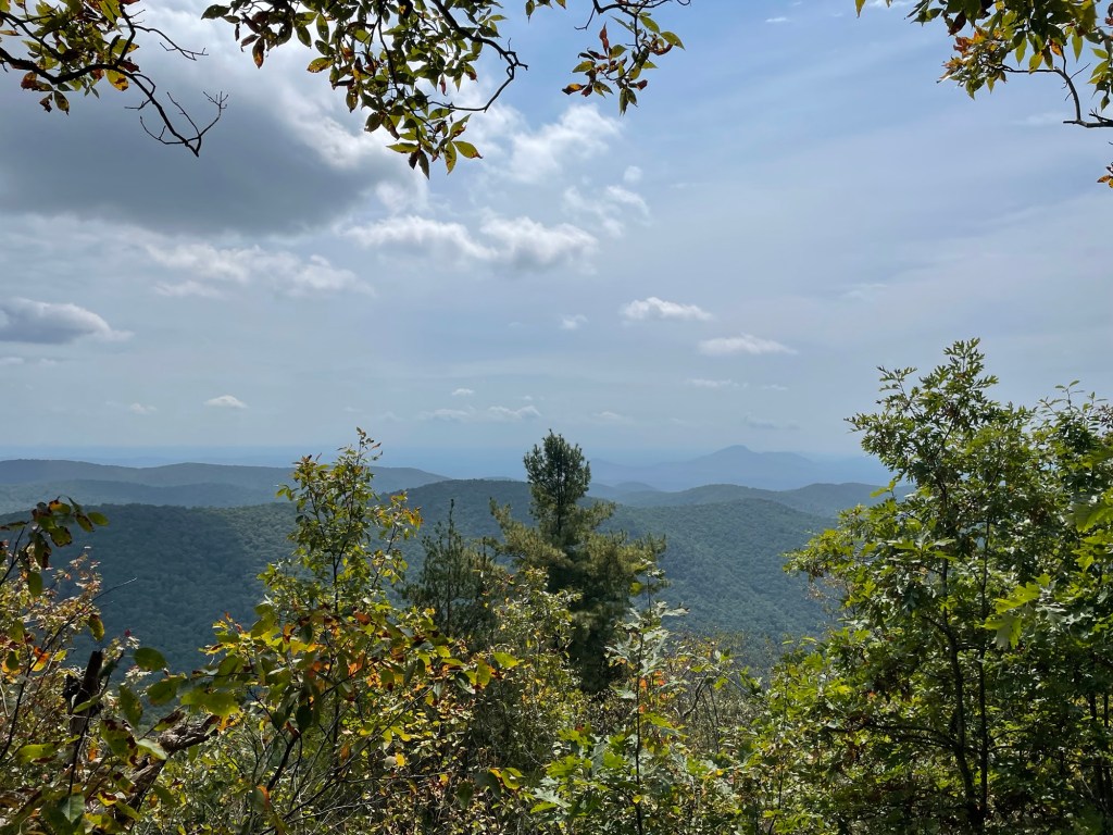
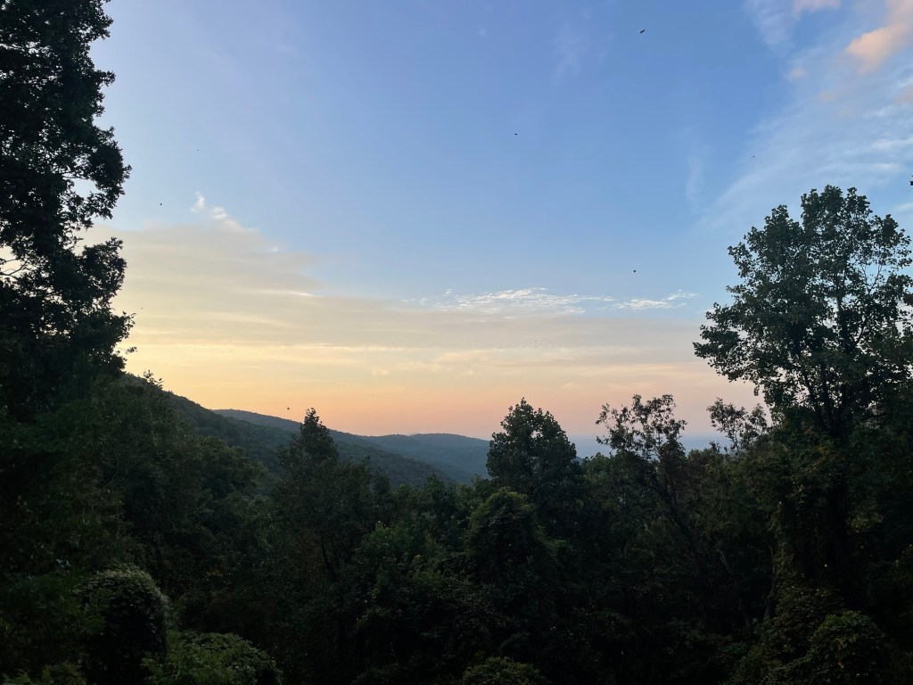
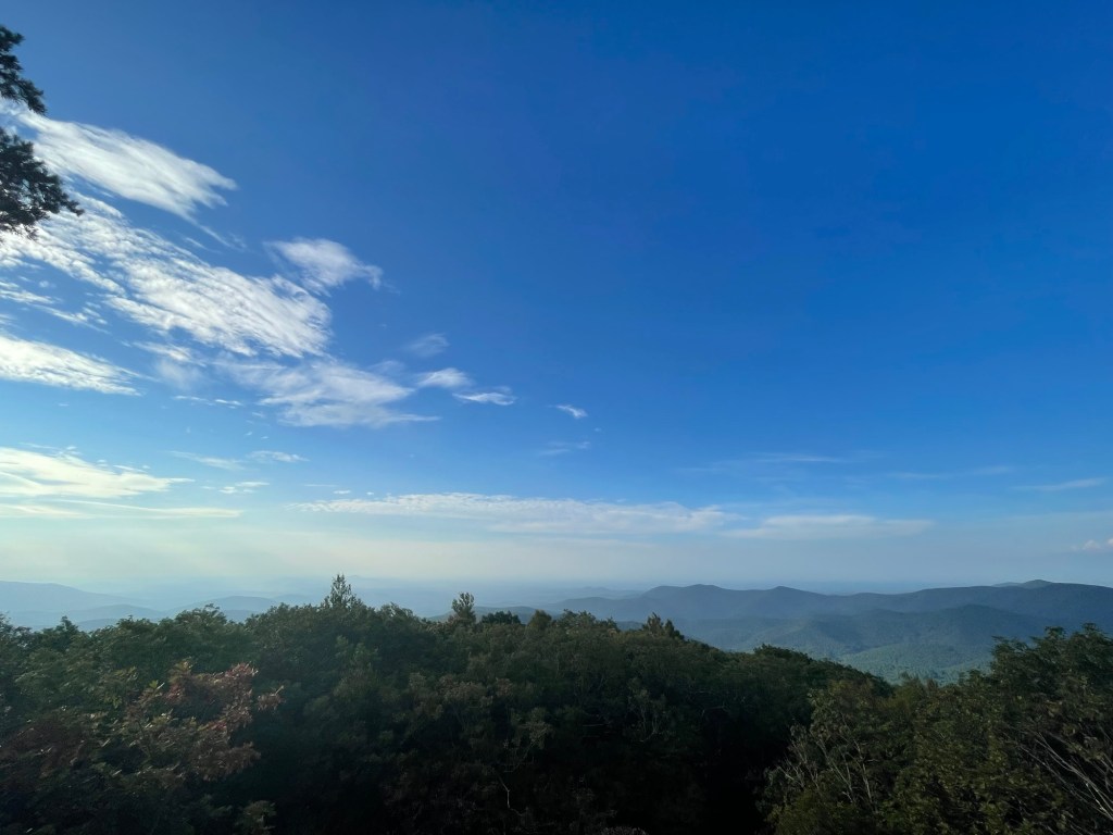
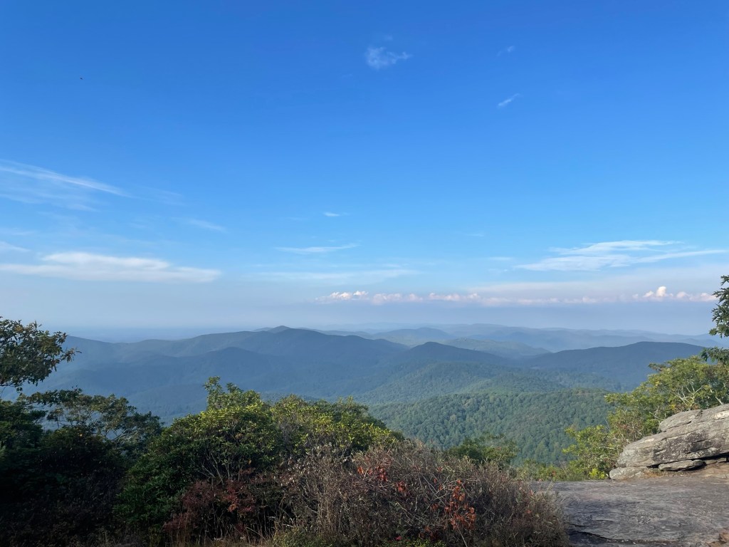
I said those words or something like them dozens of times during my last few weeks in the south as I finished up my thru-hike; the timing of my flip meant that the trail was nearly devoid of thru’s when I got back down below the Mason-Dixon. Starry-eyed section hikers and enthusiastic day-trippers were full of questions as I neared the end and, while I appreciated their interest, I couldn’t match their enthusiasm – not with almost 3,000 km under my belt. This section was my Scouring of the Shire (if you’re into the books), my fifth ending to Return of the King (if movies are more your thing). My last 3:55 of “Hey Jude.” An extended coda that was beautiful and moving and overstayed its welcome just a little bit. Come to think of it, this here blog post feels kind of similar. I’m wholeheartedly grateful to anyone who took time out of their life to read about my hike and look at my little pictures. I hope they inspire you to tackle some kind of foolhardy adventure of your own. Now that it’s all said and done, I think I’m ready to take a break from the internet for a while. Maybe I’ll go for a walk?
The Stats:
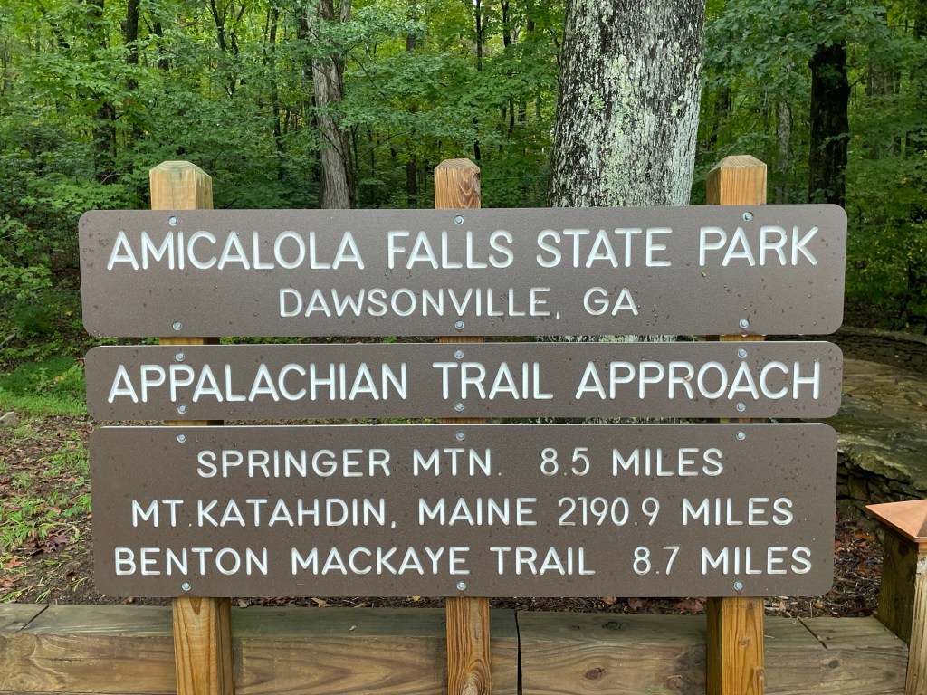
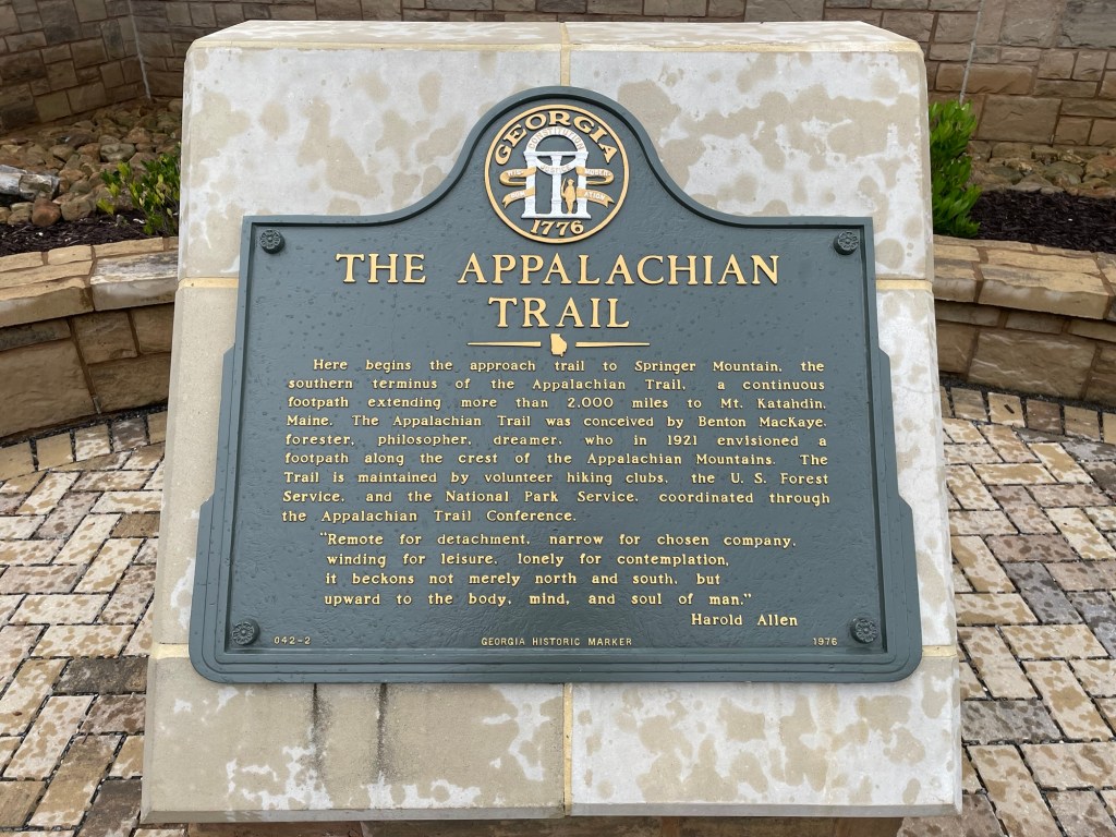
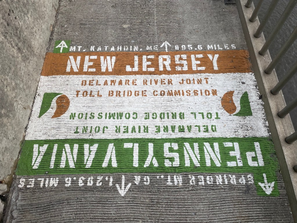
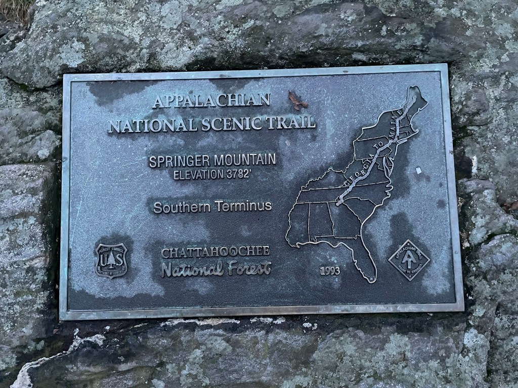
Springer Mountain, GA: 0.0km/0.0mi
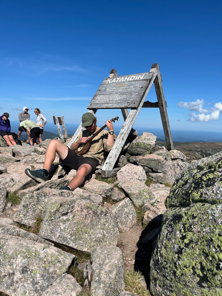
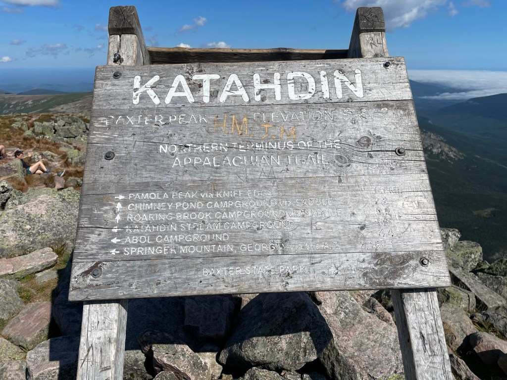
Mt. Katahdin, ME: 3,517.6km/2,198.5mi
Total: 3,517.6km/2,198.5mi
Days: 124
Mileage per day: 28.4km/17.7mi
Zero mileage days: 17
Mileage per day, net of zeros: 32.9km/20.5mi
Max. daily mileage: 57.3km/35.8mi
Min. daily mileage: 7.7km/4.8mi
The Details:
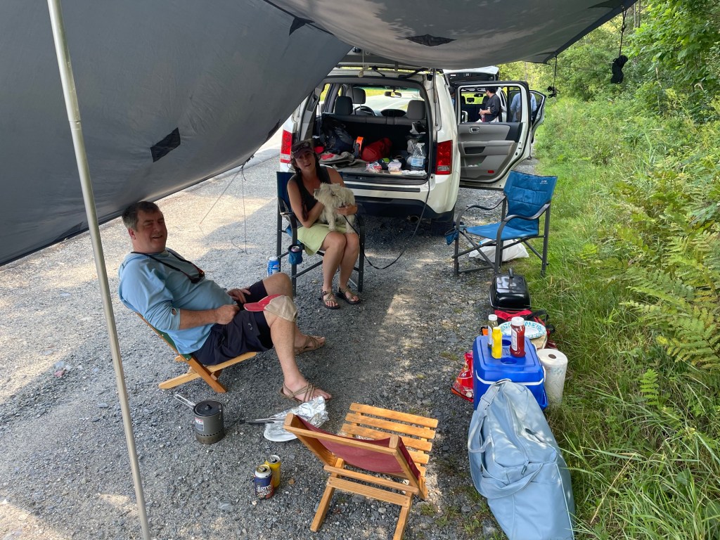
September 5th – 551.2km/344.5mi Travel Day – 0.0km/0.0mi


September 6th – 551.2km/344.5mi Travel Day – 0.0km/0.0mi
September 7th – 551.2km/344.5 Travel Day – 0.0km/0.0mi
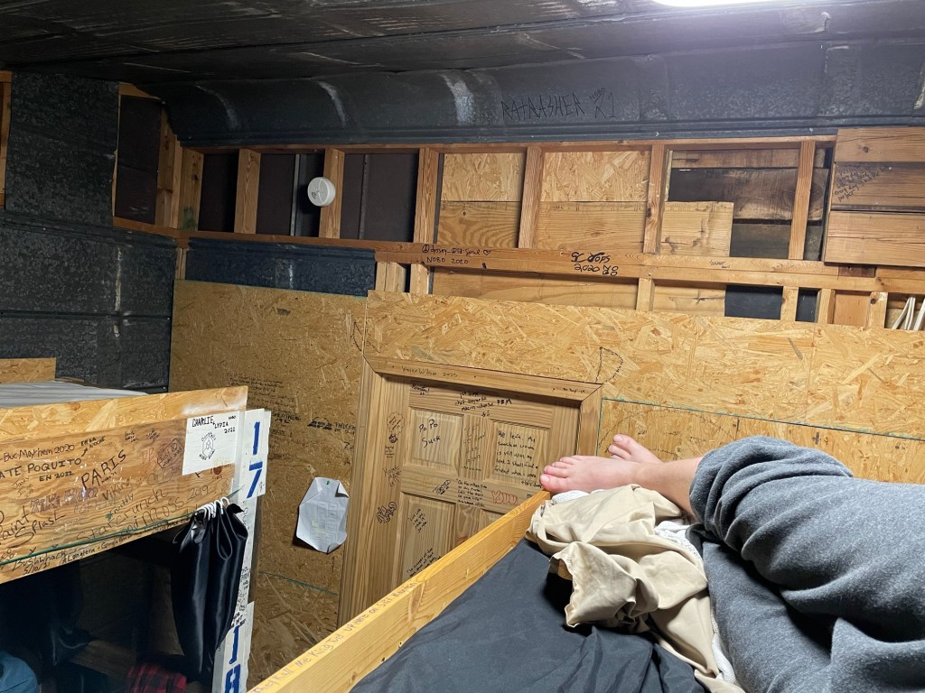
September 8th – 551.2km/344.5mi Uncle Johnny’s – 0.0km/0.0mi
September 9th – 512.0km/320.0mi Nature’s Inn Hostel – 39.2km/24.5mi

September 10th – 471.7km/294.8mi Little Laurel Shelter – 40.3km/25.2mi
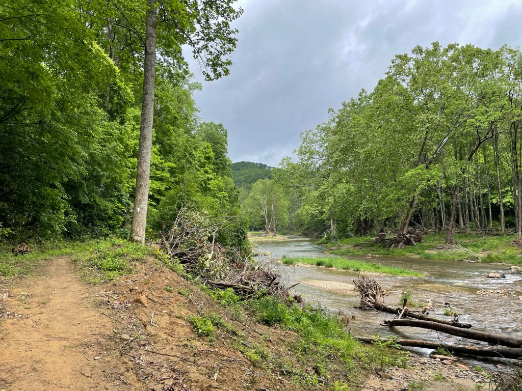
September 11th – 440.0km/275.0mi Hot Springs, NC – 31.7km/19.8mi
September 12th – 440.0km/275.0mi Hot Springs, NC – 0.0km/0.0mi
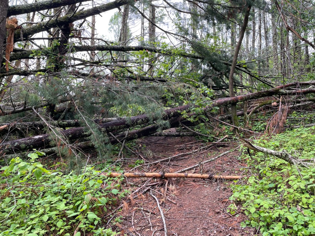
September 13th – 398.4km/249.0mi Groundhog Creek Shelter – 41.6km/26.0mi

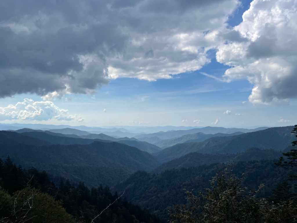
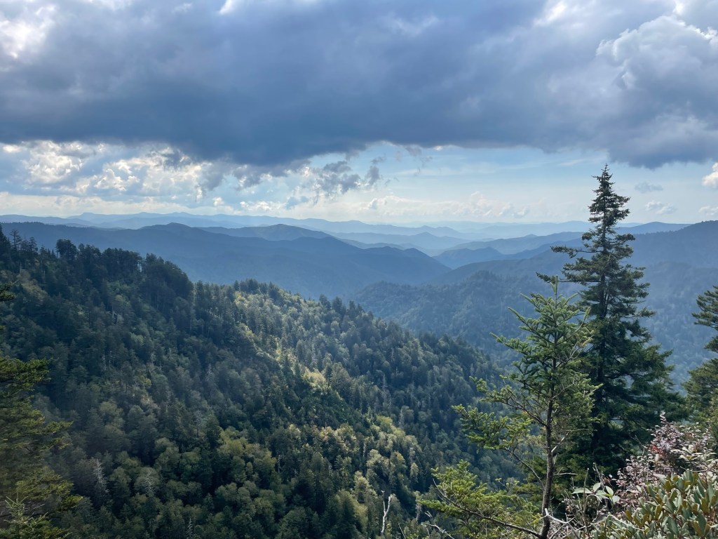
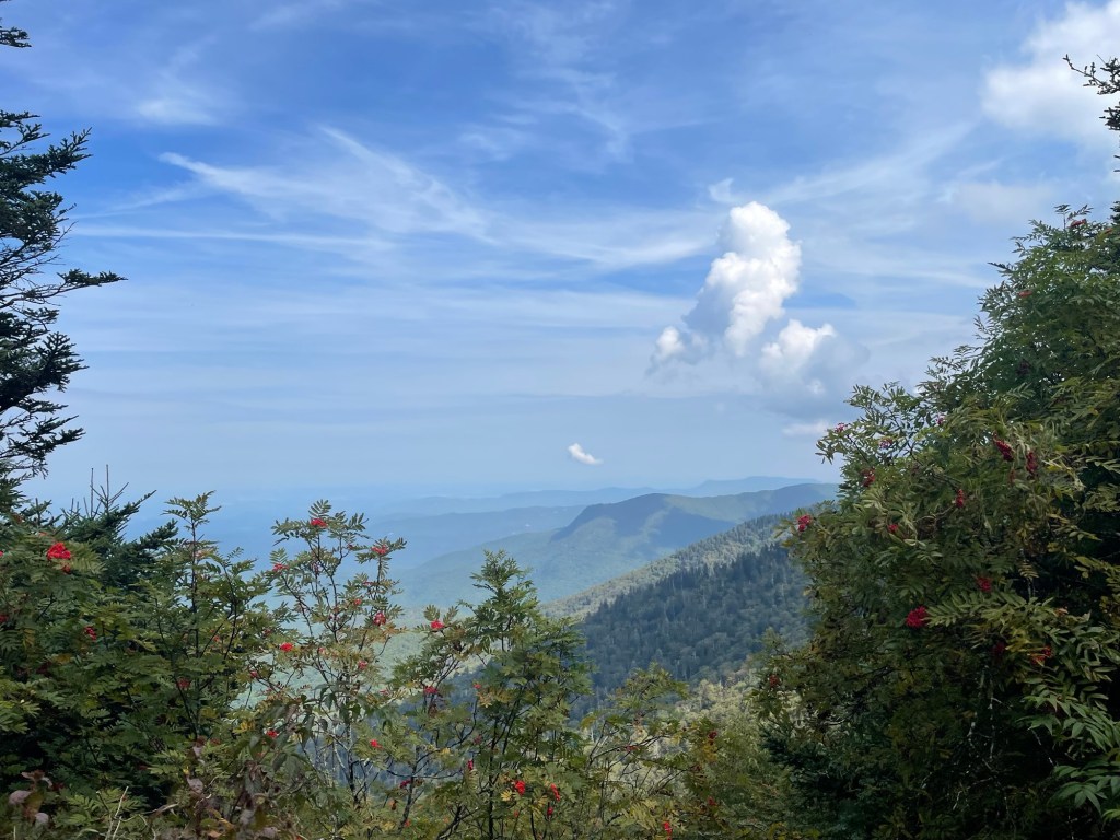
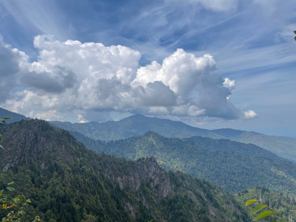
September 14th – 357.9km/223.7mi Tri-Corner Knob Shelter – 40.5km/25.3mi
September 15th – 332.8km/208.0mi Gatlinburg, TN – 251.2km/15.7mi
September 16th – 332.8km/208.0mi Gatlinburg, TN – 0.0km/0.0mi
September 17th – 204.4km/184.0mi Spence Field Shelter – 38.4km/24.0mi
September 18th – 253.6km/158.5mi Creekside Paradise – 40.8km/25.5mi
September 19th – 217.8km/136.1mi Rufus Morgan Shelter – 35.8km/22.4mi
September 20th – 176.8km/110.5mi Tentsite – 41.0km/25.6mi

September 21st – 137.8km/86.1mi Standing Indian Shelter – 39.0km/24.4mi
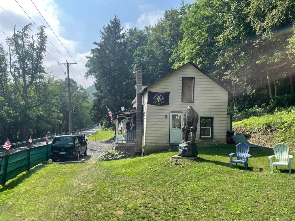
September 22nd – 111.0km/69.4mi Stanimals – 26.7km/16.7mi
September 23rd – 55.0km/34.4mi Tentsite – 56.0km/35.0mi
September 24th – 0.0km/0.0mi Springer Mountain – 55.0km/34.4mi
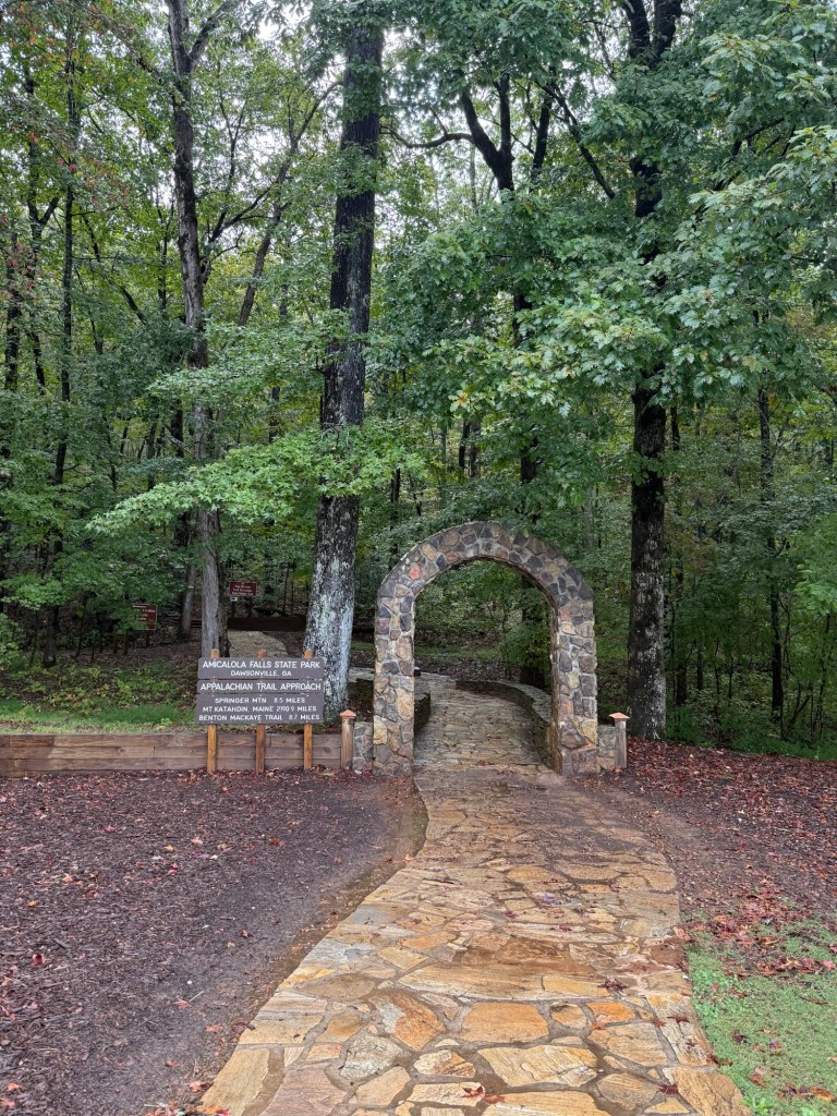
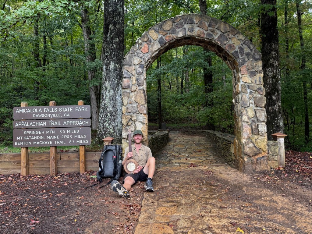
BONUS September 25th – Amicalola Falls State Park Approach Trail – 14.1km/8.8mi